
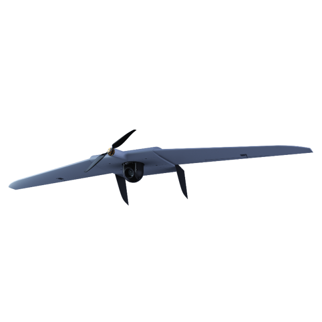
Supercam S250
3 hour flight duration, video channel distance – 25km, remote-control distance from 50 to 70 km.
Unmanned Systems Group
Izhevsk, RU
Description
Supercam S250 UAV has small dimensions, but possesses high-qualified characteristics such as 3 hour flight duration, video channel distance – 25km, remote-control distance from 50 to 70 km. This UAV set is used for monitoring of area at day and night time and also to provide safety of different objects on the ground.
Specifications
-
Environment
-
Min. operation temperature [°C]
-50
Max. operation temperature [°C]
50
Max. wind speed [m/sec]
15
Max. humidity [%]
100
-
Imaging/scanning devices
-
Onboard imaging/scanning devices
RGB Camera, Additional sensors, Gimbal, NIR Camera
Type of Camera
20/24/42 Mp cameras with 20/21/35/50 mm lens
Additional Sensors and additional information
Thermal Infrared Sensor, Multispectral, HyperspectralGyro-stabilized in 2 axis gimbals with EO, IR Night sensors and target tracking
Build-in Stablilsation
Y
Exchangeable
Y
Sensor tilting to allow oblique views
Y
-
Platform
-
Platform
Aircraft
Brand
Supercam
Max. payload [kg]
1.5
Max. stay in the air [min]
180
Max. speed [km/h]
120
Max. height above sea level [m]
5000
Propulsion
Electric
-
Accessories
-
Transportation accessories
UAV transportation case, GCS transportation case, charger and battery transportation case
Included batteries and charger
10/16 Ah
More included products and spare parts
Batteries, UAV body, wires, props, engine, cables etc.
-
Operation Characteristics and Safety
-
Launching method
Elastic catapult/Pneumatic catapult
Automatic launch and landing
Y
Training provided
Y
Collision avoidance systems (CAS)
N
Autonomous emergency landing
Y
-
Dimensions
-
ø / wingspan [cm]
250
Weight [kg]
7.5
Number of rotors
1
Transport on human back
Y
-
Base Station
-
Ground computer included
Y
Type of Ground computer
Based in the IP65 case
Sensor control
Y
Real time image and video download link
Y
-
Navigation Sensors
-
Type of GNSS receiver and captured signals
L1/L2 GNSS Receiver GPS/GLONASS
Correction services [PPK, RTK]
PPK
-
General
-
Year of last update
2017
Typical applications
Photogrammetry, 2D & 3D mapping, Agriculture, ISR
-
Included software and automatically generated
-
Type of software included
Flight planning, Block adjustment, Camera self-calibration, Photogrammetric software, Point cloud processing software
Flight planning software
Supercam 1.0
Photogrammetric software
Photomod, Pix4D
Point cloud processing software
Photomod, Pix4D
Automatically Generated Products
3D City Models, Point Clouds, 3D Landscape Models, DEMs, DTMs, Orthomosaics, NDVI maps


