Description
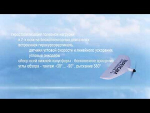
S100 complex is designed for surveillance of underlying surface (including complicated land relief and water’s surface) in a wide-range of weather conditions, search and detection of the targets. It provides the obtaining, transmission, and recording of the data in real time and scale mode and specifies location of the objects under surveillance. S100 distinctive feature is the small size, at that the flight time reaches 1 hour.
Specifications
-
Environment
-
Min. operation temperature [°C]
-50
Max. operation temperature [°C]
50
Max. wind speed [m/sec]
15
Max. humidity [%]
100
-
Imaging/scanning devices
-
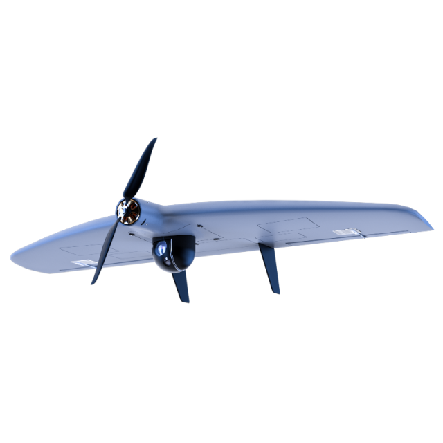
Type of Camera
20/24/42 Mp cameras with 20/21/35/50 mm lens
Additional Sensors and additional information
Thermal Infrared Sensor, Multispectral, HyperspectralGyro-stabilized in 2 axis gimbals with EO, IR Night sensors and target tracking
Build-in Stablilsation
Y
Exchangeable
Y
Sensor tilting to allow oblique views
Y
-
Platform
-
Brand
Supercam
Max. payload [kg]
0.5
Max. stay in the air [min]
60
Max. speed [km/h]
120
Max. height above sea level [m]
1500
Propulsion
Electric
-
Accessories
-
Transportation accessories
UAV transportation case, GCS transportation case, charger and battery transportation case
Included batteries and charger
10/16 Ah
More included products and spare parts
Batteries, UAV body, wires, props, engine, cables etc.
-
Operation Characteristics and Safety
-
Min. ø of launch/landing site [m]
50
Launching method
Elastic/Pneumatic/from hand
Automatic launch and landing
Y
Training provided
Y
Collision avoidance systems (CAS)
N
Autonomous emergency landing
Y
-
Dimensions
-
ø / wingspan [cm]
100
Height [cm]
25
Weight [kg]
2.5
Weight of battery [kg]
1.1
Number of rotors
1
Transport on human back
Y
-
Base Station
-
Ground computer included
Y
Type of Ground computer
Based in the IP65 case
Sensor control
Y
Real time image and video download link
Y
-
Navigation Sensors
-
Type of GNSS receiver and captured signals
L1/L2 GNSS Receiver GPS/GLONASS
Correction services [PPK, RTK]
PPK
-
General
-
Year of last update
2017
Typical applications
Photogrammetry, 2D & 3D mapping, Agriculture, ISR
-
Included software and automatically generated
-
Flight planning software
Supercam 1.0
Photogrammetric software
Photomod, Pix4D
Point cloud processing software
Photomod, Pix4D
Videos


