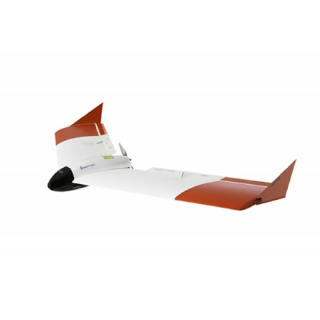
SmartPlanes Freya
Proven through thousands of flight missions over the past few years our system has an amazing track record of reliability and quality. We offer much more than just a drone. The SmartPlanes system consists of three central components: the drone, all the required software and accessories, and support services.
SmartPlanes
Skellefteå, SE
Description
Proven through thousands of flight missions over the past few years our system has an amazing track record of reliability and quality. We offer much more than just a drone. The SmartPlanes system consists of three central components: the drone, all the required software and accessories, and support services.
Specifications
-
Environment
-
Min. operation temperature [°C]
-20
Max. operation temperature [°C]
40
Max. wind speed [m/sec]
13
-
Imaging/scanning devices
-
Onboard imaging/scanning devices
Additional sensors
Type of Camera
Ricoh GR II (large sensor, APS-C)
Additional Sensors and additional information
NIR Camera, Thermal, MultiSpectral
Build-in Stablilsation
N
Exchangeable
Y
Sensor tilting to allow oblique views
Y
-
Platform
-
Platform
Aircraft
Brand
SmartPlanes
Max. payload [kg]
0.6
Max. stay in the air [min]
102
Max. speed [km/h]
70
Max. height above sea level [m]
3700
Propulsion
Electric
-
Accessories
-
Transportation accessories
Aluminum transportation case
Included batteries and charger
Yes
More included products and spare parts
All systems are provided with field repair kits
-
Operation Characteristics and Safety
-
Min. ø of launch/landing site [m]
20
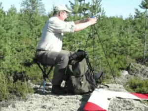
Launching method
Hand
Automatic launch and landing
Y
Training provided
Y
Collision avoidance systems (CAS)
N
Autonomous emergency landing
Y
-
Dimensions
-
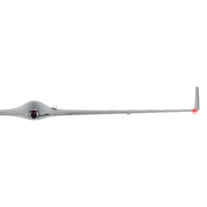
ø / wingspan [cm]
120
Height [cm]
10
Weight [kg]
0.8
Weight of battery [kg]
0.2
Number of rotors
1
Transport on human back
Y
-
Base Station
-
Ground computer included
N
Type of Ground computer
Tablet
Sensor control
Y
Real time image and video download link
Y
-
Navigation Sensors
-
Type of GNSS receiver and captured signals
PPK, GNSS, Galileo, Glonass, Beidou
-
General
-
Year of last update
2017
Typical applications
Aerial survey, Point cloud, DSM, Orthophoto
-
Included software and automatically generated
-
Type of software included
Flight planning software
SmartPlanes Ground Control Station
Photogrammetric software
Pix4D, Agisoft
Point cloud processing software
Agisoft, Pix4D
Automatically Generated Products


