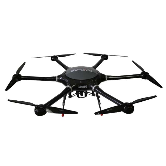
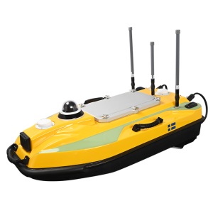
SLL3 Versatile Multi-rotor UAS
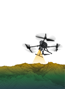
Provide a complete UAV solution for construction, mapping and surveying.
Engineered to the highest quality standards, the SatLab SLL3 has a long flight time of up to 50 minutes and also provides a complete UAV solution for construction, mapping and surveying.

SatLab
Vastra Frolunda, SE
Description
Features:
• Swift and fast initialization time within 5 minutes
• Beaufort scale level 5 wind speed operations
• Set the home point for the drone to land with precision • Automatic retraction of legs after take off
• Free from line of sight for photo taking
Do you have questions about this product?
- Questions about price, availability, and/or retailers
- Questions about technical specifications and usage
- Questions about suitability for your project or application
Specifications
-
Environment
-
Max. wind speed [m/sec]
12.5
-
Battery and Power
-
Battery type
6S 21000 mAH x 2
-
Imaging/scanning devices
-
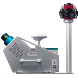
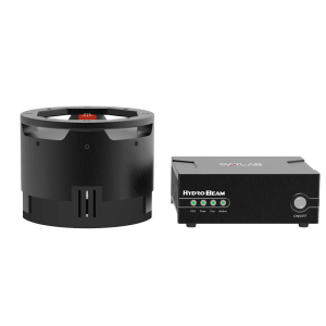
Onboard imaging/scanning devices
Type of Camera
Sony RX1R2
-
Platform
-
Max. payload [kg]
5
Max. speed [km/h]
43.2
-
Dimensions
-
Height [cm]
50
Width [cm]
141
Length [cm]
162
Weight [kg]
5
-
Navigation Sensors
-
Correction services [PPK, RTK]
Yes
-
Included software and automatically generated
-
Type of software included
Automatically Generated Products

