
Description
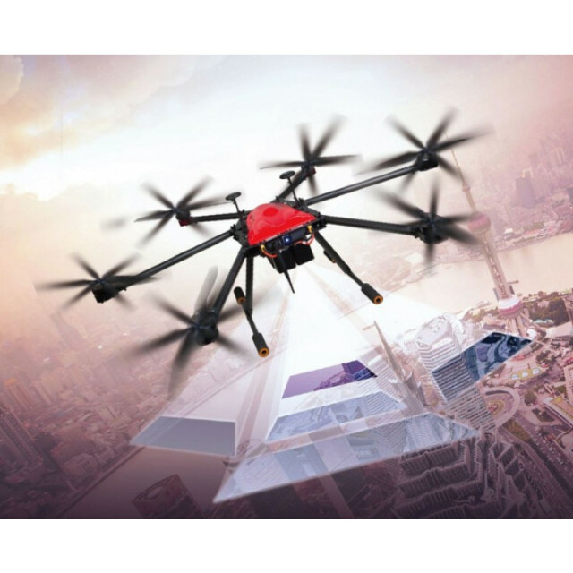
X61 is a hexacopter, which is manufactured by SOUTH based on independent research and development. SkyWalker X61 is designed to drastically minimize the time and costs for collecting huge image data and guarantee the desired reliability by utilizing virtual 3D modeling from aerial photogrammetry.
Specifications
-
Environment
-
Min. operation temperature [°C]
-10
Max. operation temperature [°C]
45
Max. wind speed [m/sec]
10
Max. humidity [%]
90
-
Imaging/scanning devices
-
Onboard imaging/scanning devices
Gimbal
Additional Sensors and additional information
The open-typed structure design enables the airframe to be customized with multiple payloads, like standard DSLR camera, integrated 5-lens camera system, infrared thermal imager, hyperspectral camera, lightweight LiDAR scanner, digital wireless video transmitter, environmental monitoring devices, etc.
Build-in Stablilsation
Y
Exchangeable
Y
-
Platform
-
Platform
Copter
Brand
South
Max. payload [kg]
1.5
Max. stay in the air [min]
57
Max. speed [km/h]
36
Max. height above sea level [m]
3500
Propulsion
Electric pusher propeller, 6 brushless motors
-
Accessories
-
Transportation accessories
Transportation case
Included batteries and charger
Yes
More included products and spare parts
Airframe (integrated with propulsion system, dual-flight control system, radio module, GPS antenna+Gyroscope, etc), 8x 22-inch propellers, 2x Landing gear, 2-axis gimbal, GCS radio transmitter + Antenna + USB cable, Copter battery holder & safety belt, Remote control battery, Maintenance toolkit, 2x Copter battery, Transportation Case, Remote controller, Charger set (for remote control & copter)
-
Operation Characteristics and Safety
-
Launching method
Vertical Take-off & Landing System (VTOL)
Automatic launch and landing
Y
Autonomous emergency landing
Y
-
Dimensions
-
ø / wingspan [cm]
120
Height [cm]
40
Weight [kg]
4.5
Weight of battery [kg]
3.95
Number of rotors
6
Transport on human back
Y
-
Base Station
-
Sensor control
Y
Real time image and video download link
Y
-
Navigation Sensors
-
Type of GNSS receiver and captured signals
L1/L2 (GPS, GLONASS, Beidou and Galileo) on a 5, 20 or 50Hz Baud Rate
Correction services [PPK, RTK]
RTK
-
General
-
Typical applications
Surveying, Mapping, Construction, Inspection
-
Included software and automatically generated
-
Type of software included
Flight planning, Photogrammetric software, Point cloud processing software
Flight planning software
Flight Control Software Zero-tech GCS
Photogrammetric software
Post Processing Software SkyPhoto
Point cloud processing software
Post Processing Software SkyPhoto
Automatically Generated Products
3D City Models, Point Clouds, 3D Landscape Models, DEMs, DTMs, Orthomosaics
Additional information on software or automatically generated products
The dual flight control systems with 3 sensors each are equipped on board to guarantee safer SkyWalk experience in case that one gets mal-functional or defective and the other standby might back up in no time.


