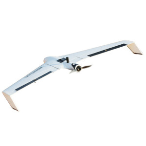
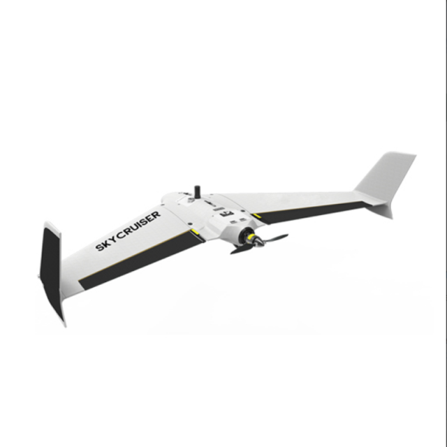
SkyCruiser FLYme
A Typical SURVEYOR-ORIENTED Mapping Drone
FLYme is specifically made for professional aerial mapping. Precise aerial positioning & waypoint navigation; ultrahigh resolution 42 mpx imaging sensor Precise landing control within 6m radius Extremely long endurance up to 90 min
SOUTH Surveying & Mapping
Guangzhou, CN
Description
FLYme is specifically made for professional aerial mapping.
precise aerial positioning & waypoint navigation; ultrahigh resolution 42 mpx imaging sensor; precise landing control within 6m radius; extremely long endurance up to 90 min; corridor/linear mapping flight plan; excellent flight performance against windy environment; durable EPO material against hundreds of uses; 1-day training good enough for beginners; incredible aerial mapping productivity & efficiency; smart elevation partition for elevated area; multi-zone planning in a single flight; multi-flight planning for large survey zone.
Specifications
-
Environment
-
Max. wind speed [m/sec]
12.7
-
Imaging/scanning devices
-
Onboard imaging/scanning devices
RGB Camera
Type of Camera
Sony RX1RII
Build-in Stablilsation
Y
-
Platform
-
Platform
Fixed-wing
Brand
South
Max. payload [kg]
0.8
Max. stay in the air [min]
90
Max. speed [km/h]
72
Max. height above sea level [m]
1400
Propulsion
1000w electric pusher motor, with 13-inch propeller
-
Operation Characteristics and Safety
-
Launching method
typical, precise parachute landing; optional, belly landing
Automatic launch and landing
Y
Training provided
Y
Min. ø of launch/landing site [m]
6
-
Dimensions
-
ø / wingspan [cm]
150
Height [cm]
49
Length [cm]
98
Weight [kg]
3.5
Number of rotors
1
Transport on human back
N
-
General
-
Typical applications
road survey;power line inspection;topographic survey;mining survey
-
Included software and automatically generated
-
Type of software included
Flight planning
Automatically Generated Products
Related products


