
Description
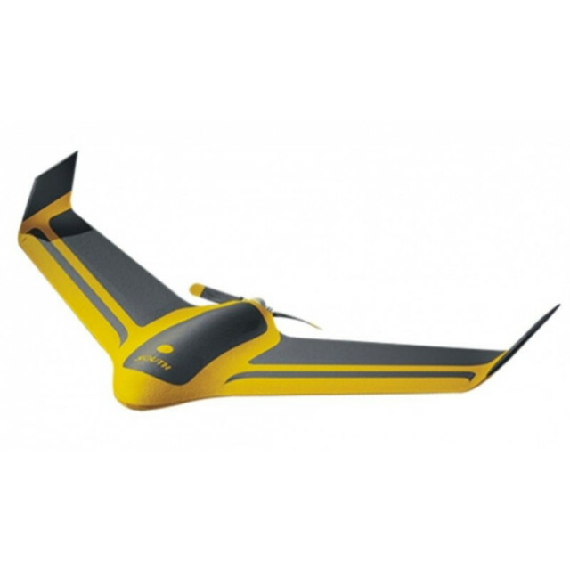
Fixed-wing drone built for aerial mapping and terrain modeling of larger areas, including mine sites, stockpiles, and undertaking topographic survey.
Specifications
-
Environment
-
Max. wind speed [m/sec]
11.94
-
Imaging/scanning devices
-
Onboard imaging/scanning devices
RGB Camera, Additional sensors
Type of Camera
Sony A5100
Exchangeable
Y
-
Platform
-
Platform
Aircraft
Brand
South
Max. payload [kg]
1.5
Max. stay in the air [min]
60
Max. speed [km/h]
72
Max. height above sea level [m]
3000
Propulsion
Brush-less 600W electric motor
-
Accessories
-
Transportation accessories
The unique lock design, make the wings easy to disassemble, which greatly reduce the whole transport volume, easy for travel and take along.
-
Operation Characteristics and Safety
-
Launching method
Ejector rack
Automatic launch and landing
Y
Autonomous emergency landing
Y
-
Dimensions
-
ø / wingspan [cm]
123
Weight [kg]
0.9
Number of rotors
1
Transport on human back
Y
-
Base Station
-
Sensor control
Y
Real time image and video download link
Y
-
Navigation Sensors
-
Type of GNSS receiver and captured signals
Integrated 10Hz high precision GPS module
-
General
-
Typical applications
Urban Planning, Inspection, Forecasting
-
Included software and automatically generated
-
Type of software included
Flight planning
Automatically Generated Products
3D City Models, Point Clouds, 3D Landscape Models, DEMs, DTMs
Additional information on software or automatically generated products
The Powerful Flight Control software-Ground Control Station, incorporating the Google Earth platform/Google Map/Bing Map, easy to make flight path planning, and real-timedisplay all flight statistics including the aircraft status, mission control, main battery voltage, mAh consumed Amp draw, GPS satellite strength, Steering engine status andtemperature of the autopilot unit, etc.


