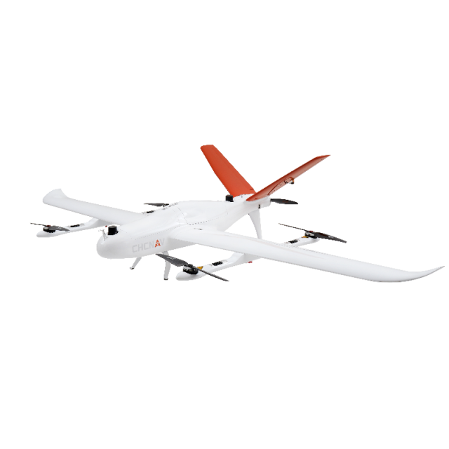


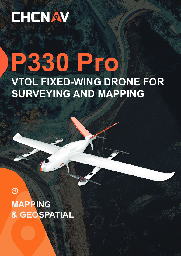
P330 PRO VTOL Drone
Long-Endurance VTOL Drone for Surveying and Mapping
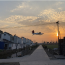
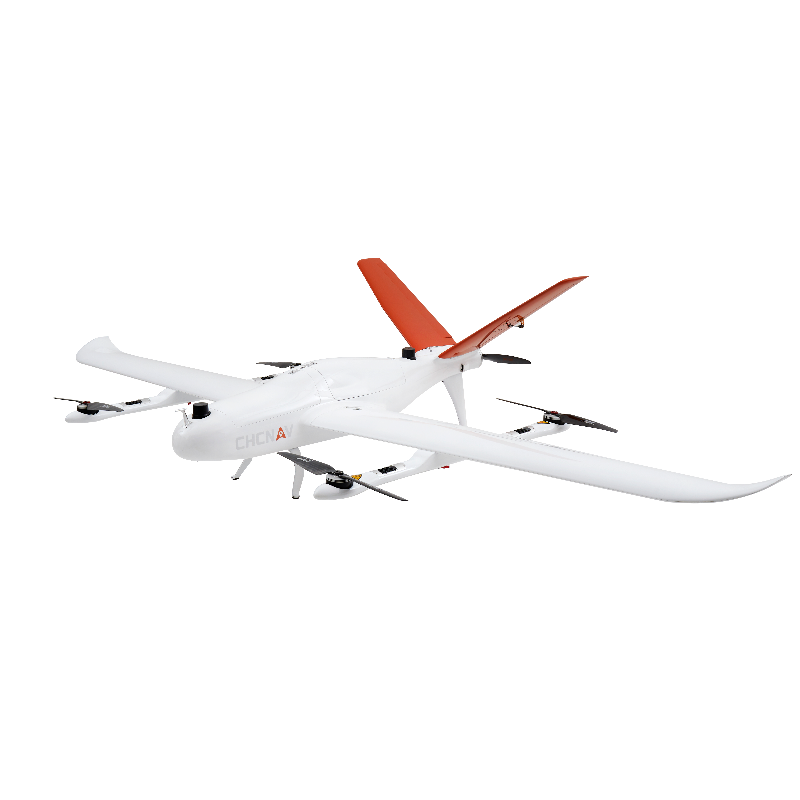
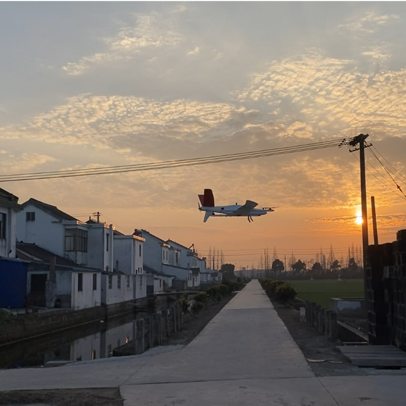
The P330 Pro is a high-performance vertical takeoff and landing (VTOL) fixed-wing unmanned aircraft system (UAS), specially designed for aerial surveying and mapping applications. With its concept of high accuracy, long endurance, and multiple payloads, it meets the requirements of mapping and aerial surveying professionals for many different applications.

CHC Navigation | CHCNAV
Shanghai, CN
Description
-
HIGH EFFICIENCY. LONG ENDURANCE
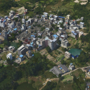
150 mins endurance and up to 20 km² coverage per flight
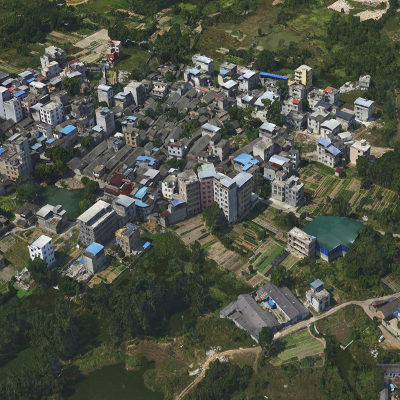
The P330 Pro VTOL drone is characterized by an ultra-efficient aerodynamic design and can reach 150 minutes of endurance with its payload to cover large areas per flight. With advanced power management and superior navigation algorithms, the P330 Pro can accurately map a region of 20 km² at a scale of 1:2000. Mapping highway corridors and surveying open-pit mines are now within reach in a single flight.
-
TRUSTED BY AERIAL SURVEY SPECIALISTS
Triple redundant flight control system and safer operation
The P330 Pro is packed with the latest aviation technologies. A dual GNSS system, a triple IMU system, dual antenna positioning and orientation, 5 safe return-to-base strategies, and 9 safety monitoring checks guarantee safe flight operations and reliable aerial survey results.
-
REDUCE OPERATING COSTS AND SAVE TIME
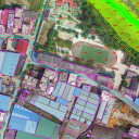
No more systematic ground control points (GCP) required
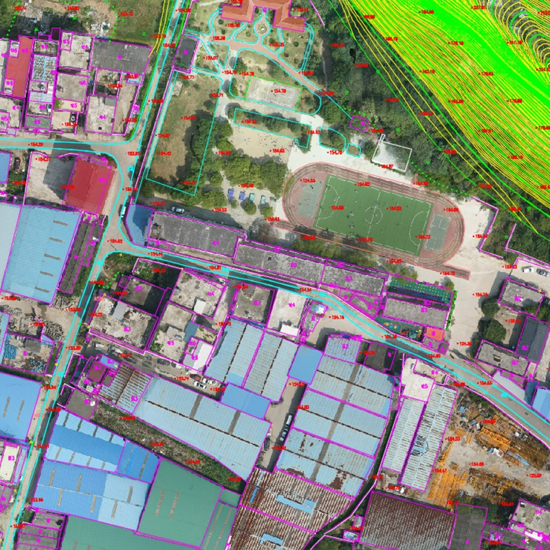
The P330 Pro integrates a high-accuracy GNSS RTK / PPK module with a 100 Hz differential data update rate. With its advanced GNSS PPK data processing and photogrammetry software, the final mapping results are accurate to the centimetre level. Avoiding the establishment of ground control points can also save up to half of the time required for the project. Faster data acquisition with a smaller field crew significantly increases the return on investment of the mission.
-
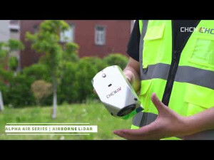
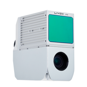
SWAPPABLE AIRBORNE SENSORS
Switching cameras in the field is fast and simple.
The P330 Pro is not only available with an orthophoto camera for producing orthophoto maps but also with optional sensors, such as an oblique camera for 3D modelling applications, to address the most demanding mapping and topographic surveys. The load bay design supports a wide range of sensors, including orthophoto cameras, half-frame and full-frame oblique cameras, medium-frame cameras, multispectral cameras, or lightweight laser scanners, and the ability to switch between them quickly.
The P330 Pro is a high-performance vertical takeoff and landing (VTOL) fixed-wing unmanned aircraft system (UAS), specially designed for aerial surveying and mapping applications. With its concept of high accuracy, long endurance, and multiple payloads, it meets the requirements of mapping and aerial surveying professionals for many different applications.
The P330 Pro UAV allows you to conduct small- and large-scale aerial surveys with extreme data quality and cost savings at a significant time. It is an alternative to manned aircraft for surveying and mapping, mining, construction and infrastructure, environmental monitoring, agriculture, etc.
Do you have questions about this product?
- Questions about price, availability, and/or retailers
- Questions about technical specifications and usage
- Questions about suitability for your project or application
Specifications
-
Environment
-
Min. operation temperature [°C]
-20
Max. operation temperature [°C]
50
Max. wind speed [m/sec]
12
-
Battery and Power
-
External power
External battery
capacity
27000mAh
Battery type
12S, Li-po
operating temperature
-10 - 65 °C
charging time
100 min
-
Imaging/scanning devices
-
Onboard imaging/scanning devices
Additional sensors
Type of Camera
Orthographic camera, oblique camera
Build-in Stablilsation
Y
Exchangeable
Y
Sensor tilting to allow oblique views
Y
-
Platform
-
Platform
Aircraft
Brand
CHCNAV
Max. payload [kg]
2
Max. stay in the air [min]
150
Max. speed [km/h]
75.6
Max. height above sea level [m]
6000
Propulsion
Rotor wing, Fixed wing
Maximum rate of ascent
5
Maxirum rate of descent
2.8
-
Accessories
-
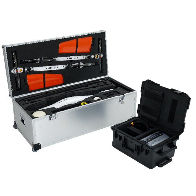
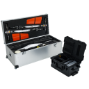
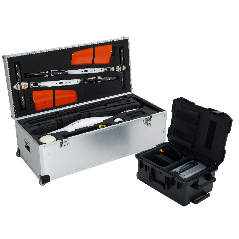
Transportation accessories
Battery transportation hard case, Drone transportation hard case
Included batteries and charger
27000mAh (12S) Li-Pobattery
-
Operation Characteristics and Safety
-
Launching method
vertical take off
Training provided
Y
Automatic launch and landing
Y
Autonomous emergency landing
Y
Collision avoidance systems (CAS)
N
-
Dimensions
-
ø / wingspan [cm]
250
Length [cm]
120
Weight [kg]
8
Weight of battery [kg]
5.7
Number of rotors
4
Transport on human back
N
-
Base Station
-
Ground computer included
Y
Type of Ground computer
Windows OS
Sensor control
N
Real time image and video download link
Y
-
Navigation Sensors
-
Type of GNSS receiver and captured signals
GPS/BDS/GLONASS/Galileo
Correction services [PPK, RTK]
PPK/RTK
Positioning Accuracy
RTK: 1-2 cm
-
General
-
Year of last update
2021
Product Name
P330 PRO
Typical applications
Aerial mapping, 3D modeling, inspection
Models in series
P330
-
Included software and automatically generated
-
Type of software included
Flight planning, Photogrammetric software
Automatically Generated Products
Flight planning software
EasyFly
Photogrammetric software
PIX4D,
Additional information on software or automatically generated products
ContextCapture for 3D modeling
Documents
Brochure
P330 pro_DS_en-1208.pdf
4.51 MB


