
mdLiDAR3000
Heavy projects? Make light work of them all.
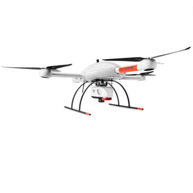
The newest LiDAR system from Microdrones is revolutionary. Three years in the making, we perfectly integrated our heavy lifting md4-3000 drone with a Riegl LiDAR and a SONY camera for rapidly producing colorized pointclouds.
microdrones
Siegen, DE
Description
The mdLiDAR3000 uses the lifting power, resilience and efficiency of the Microdrones aircraft platform to carry a perfectly integrated Riegl miniVUX‑1UAV (or an optional miniVUX‑1DL) and a Sony RX1R II camera. The result? You can quickly acquire high density and accurate LiDAR data in the field and efficiently turn it into a 3D colorized pointcloud back at the office or on your laptop.
mdLiDAR3000 is an end-to-end LiDAR solution combining a drone, a LiDAR payload, a fully integrated software workflow, and world class support to consistently provide quality deliverables.
Specifications
-
Imaging/scanning devices
-
Onboard imaging/scanning devices
-
Included software and automatically generated
-
Type of software included
Automatically Generated Products


