
Description
Specifications
-
Environment
-
Min. operation temperature [°C]
-15
Max. operation temperature [°C]
45
Max. wind speed [m/sec]
12
Max. humidity [%]
95
-
Imaging/scanning devices
-
Type of Camera
24.3 Megapixel APS-C sensor
Additional Sensors and additional information
Multispectral, Thermal Infrared, optional dual sensor payload
Build-in Stablilsation
N
Exchangeable
Y
Sensor tilting to allow oblique views
N
Onboard imaging/scanning devices
-
Platform
-
Platform
Aircraft
Brand
Animus Robo-Tek
Max. payload [kg]
0.8
Max. stay in the air [min]
180
Max. speed [km/h]
90
Max. height above sea level [m]
600
Propulsion
Electric brushless motor
-
Accessories
-
Transportation accessories
Lightweight backpack or rugged transportation case
Included batteries and charger
Yes
More included products and spare parts
Yes
-
Operation Characteristics and Safety
-
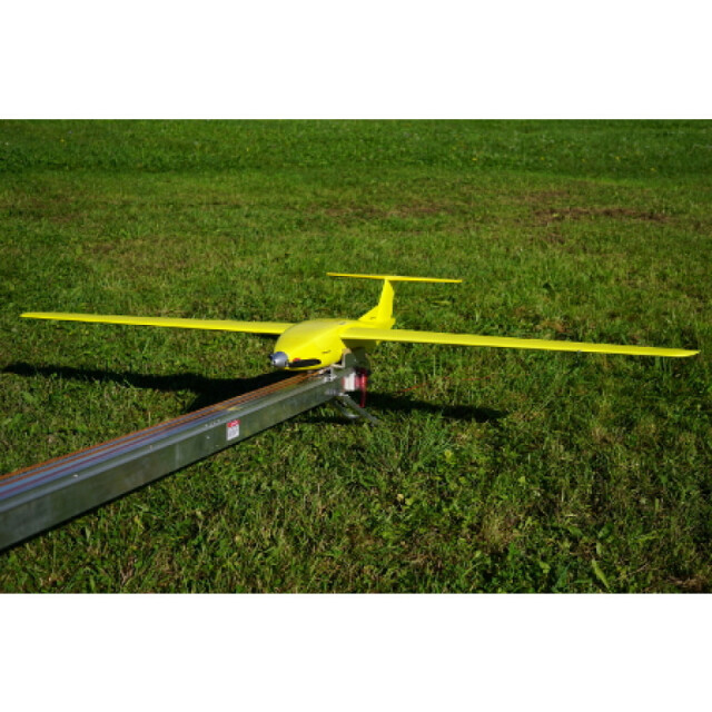
Min. ø of launch/landing site [m]
30
Launching method
Catapult or from hand
Automatic launch and landing
Y
Training provided
Y
Collision avoidance systems (CAS)
N
Autonomous emergency landing
Y
-
Dimensions
-
ø / wingspan [cm]
200
Height [cm]
30
Weight [kg]
4.5
Weight of battery [kg]
1.2
Weight of filled fuel tank [kg]
0
Number of rotors
1
Transport on human back
Y
-
Base Station
-
Ground computer included
Y
Type of Ground computer
Rugged Tablet
Sensor control
Y
Real time image and video download link
N
-
Navigation Sensors
-
Type of GNSS receiver and captured signals
PPK, GPS (L1, L2), GLONASS (L1, L2)
Correction services [PPK, RTK]
PPK, RTK
-
General
-
Year of last update
2017
Typical applications
Mining, Surveying, Mapping, Agriculture
-
Included software and automatically generated
-
Type of software included
Block adjustment, Camera self-calibration, Flight planning, Photogrammetric software, Point cloud processing software
Flight planning software
Yes
Photogrammetric software
As required
Point cloud processing software
As required
Automatically Generated Products
3D City Models, Point Clouds, 3D Landscape Models, DEMs, DTMs, Orthomosaics, NDVI maps


