
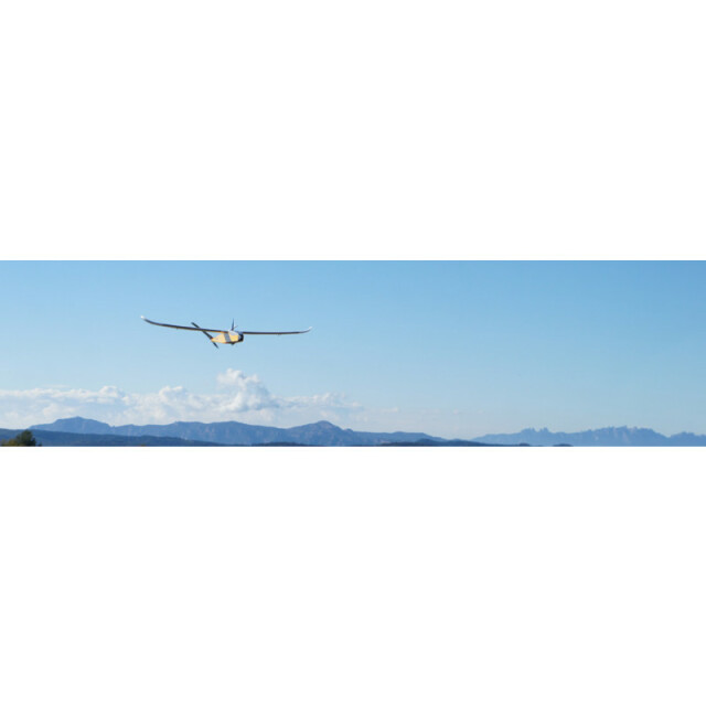
Description
Specifications
-
Environment
-
Min. operation temperature [°C]
-10
Max. operation temperature [°C]
40
Max. wind speed [m/sec]
40
Max. humidity [%]
100
-
Imaging/scanning devices
-
Onboard imaging/scanning devices
RGB Camera, Additional sensors, NIR Camera, SWIR Camera
Type of Camera
Visible, NIR, Thermal, Multispectral, Hyperspectra
Type of Lidar
Under development
Additional Sensors and additional information
Can have exchangeable modules with any desired sensor that has a suitable volume and weight for the payload bay
Build-in Stablilsation
N
Exchangeable
Y
Sensor tilting to allow oblique views
N
-
Platform
-
Platform
Aircraft
Brand
CATUAV
Max. payload [kg]
0.6
Max. stay in the air [min]
80
Max. speed [km/h]
90
Max. height above sea level [m]
5000
Propulsion
Electric
-
Accessories
-
Transportation accessories
Harbacc Pellican case
Included batteries and charger
Yes
More included products and spare parts
Spare partsControllerEmergency locator
-
Operation Characteristics and Safety
-
Min. ø of launch/landing site [m]
10
Launching method
Hand launch
Automatic launch and landing
Y
Training provided
Y
Collision avoidance systems (CAS)
Y
Autonomous emergency landing
Y
-
Dimensions
-
ø / wingspan [cm]
180
Height [cm]
130
Weight [kg]
1.2
Weight of battery [kg]
0.4
Weight of filled fuel tank [kg]
2
Number of rotors
1
Transport on human back
Y
-
Base Station
-
Ground computer included
Y
Type of Ground computer
PC
Sensor control
Y
Real time image and video download link
Y
-
Navigation Sensors
-
Type of GNSS receiver and captured signals
GPS, GLONASS & Galileo
Type of IMU
10 dof (Gyro, Acc, Mag. and Bar.)
Other sensors and additional information
TCAS (Traffic Collision Avoidance System)Real time video link for FPV (Firs Person View)
Correction services [PPK, RTK]
EGNOS
-
General
-
Year of last update
2017
Typical applications
Earth Observation
-
Included software and automatically generated
-
Type of software included
Block adjustment, Camera self-calibration, Flight planning, Photogrammetric software, Point cloud processing software
Flight planning software
Mission Planner
Photogrammetric software
Pix4D
Point cloud processing software
Pix4D
Automatically Generated Products
Point Clouds, 3D Landscape Models, DEMs, DTMs, Orthomosaics, NDVI maps
Additional information on software or automatically generated products
Other software could be optionally included


