

Description
Specifications
-
Environment
-
Min. operation temperature [°C]
0
Max. operation temperature [°C]
35
Max. wind speed [m/sec]
15
Max. humidity [%]
90
-
Imaging/scanning devices
-
Onboard imaging/scanning devices
Additional sensors
Type of Camera
RGB, Thermal, IR, NIR
Additional Sensors and additional information
Gas sensors
Build-in Stablilsation
Y
Exchangeable
Y
Sensor tilting to allow oblique views
Y
-
Platform
-
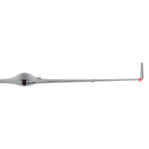
Platform
Copter
Brand
Ascending Technologies GmbH
Max. payload [kg]
0.75
Max. stay in the air [min]
22
Max. speed [km/h]
60
Max. height above sea level [m]
1000
Propulsion
Electric
-
Operation Characteristics and Safety
-
Min. ø of launch/landing site [m]
4
Launching method
Vertical take-off, from ground/hand
Automatic launch and landing
Y
Training provided
Y
Collision avoidance systems (CAS)
N
Autonomous emergency landing
Y
-
Dimensions
-
ø / wingspan [cm]
82
Height [cm]
12.5
Weight [kg]
0.98
Weight of battery [kg]
0.45
Weight of filled fuel tank [kg]
0
Number of rotors
8
Transport on human back
Y
-
Base Station
-
Ground computer included
Y
Type of Ground computer
Mobile Ground Station
Sensor control
Y
Real time image and video download link
Y
-
Navigation Sensors
-
Type of GNSS receiver and captured signals
AscTec High-Performance GPS
Type of IMU
AscTec AutoPilot
-
General
-
Year of last update
2014
Typical applications
photography, videography, inspection & survey
-
Included software and automatically generated
-
Type of software included
Flight planning, Photogrammetric software
Flight planning software
AscTec Navigator 2.0
Photogrammetric software
Agisoft Photoscan
Automatically Generated Products
3D City Models, 3D Landscape Models, DEMs, Orthomosaics


