Description
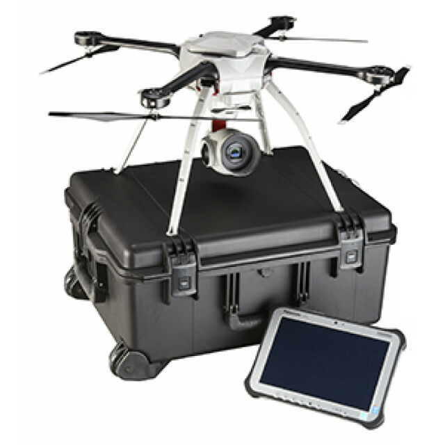
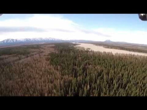
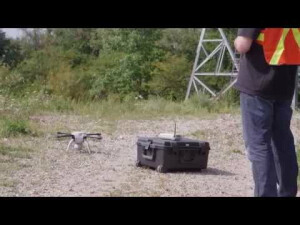
Suitable for a wide range of mapping and surveying applications, the Aeryon SkyRanger provides; single operator transport and deployment; up to 50 minutes of flight time; reliable flight performance in demanding environments and high winds; integrated payloads and software solutions.
Specifications
-
Environment
-
Min. operation temperature [°C]
-30
Max. operation temperature [°C]
50
Max. wind speed [m/sec]
65
-
Imaging/scanning devices
-
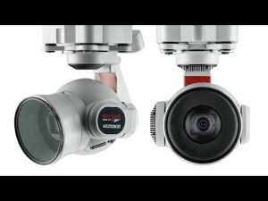
Type of Camera
HD, IR
Build-in Stablilsation
Y
Exchangeable
Y
Sensor tilting to allow oblique views
Y
Onboard imaging/scanning devices
-
Platform
-
Platform
Copter
Brand
Aeryon
Max. payload [kg]
1
Max. stay in the air [min]
50
Max. speed [km/h]
65
Max. height above sea level [m]
1500
Propulsion
Battery
-
Operation Characteristics and Safety
-
Min. ø of launch/landing site [m]
6
Launching method
Vertical Take-Off and Landing (VTOL)
Automatic launch and landing
Y
Training provided
Y
Collision avoidance systems (CAS)
N
Autonomous emergency landing
Y
-
Dimensions
-
ø / wingspan [cm]
102
Height [cm]
24
Weight [kg]
2.4
Weight of battery [kg]
1.2
Number of rotors
4
Transport on human back
Y
-
Base Station
-
Ground computer included
Y
Type of Ground computer
Tablet
Sensor control
Y
Real time image and video download link
Y
-
General
-
Year of last update
2013
Typical applications
Aerial imagery, inspection, surveying, mapping
-
Included software and automatically generated
-
Type of software included
Flight planning, Photogrammetric software, Point cloud processing software
Flight planning software
Aeryon MCS
Photogrammetric software
Pix4D
Point cloud processing software
Pix4D
Automatically Generated Products
3D City Models, 3D Landscape Models, DEMs, Orthomosaics


