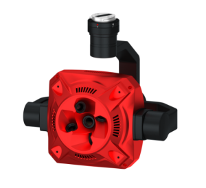
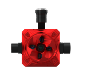
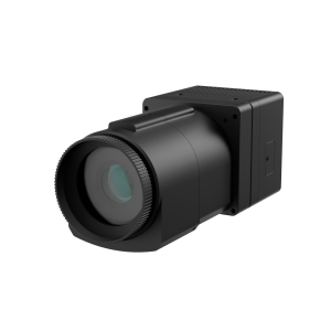
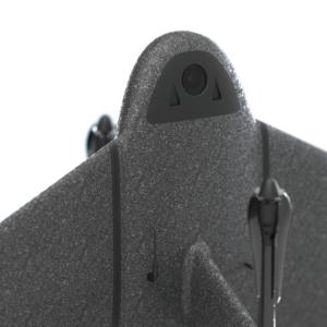
Description
Specifications
-
Sensor Characteristics
-
Type of sensor
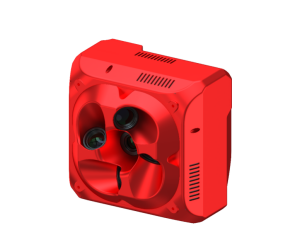
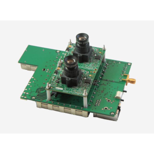
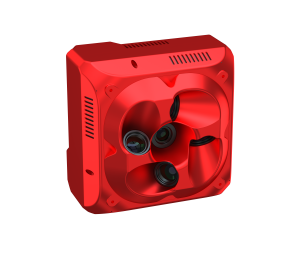
Dual 1.3MP CMOS; global shutter time synchronized
Color image size [Megapixels]
1.3
Number of spectral bands
4
Spectral bands
R, G, B, NIR
Spectral bands wavelengths
Red centered at 615nm bandwidth FWHM = 114nm, Green centered 553nm FWHM = 101nm, Blue centered 450nm FWHM = 101nm, NIR centered at 810nm FWHM = 135nm. (Custom filters available upon request)
Pixel size on the ground [specify height and GSD]
5.1 cm at 400 ft
-
Hardware
-
Depth [mm]
8.89
Width [mm]
12.7
Weight [gr]
170
-
General
-
Year of last update
2016
Type
Photo Camera
Power consumption
9-40V DC: connect to UAV battery
-
Data / System Support
-
Post-processing for collected raw images
Yes
Image data formats
Geo-tiff, CSV
Supported positioning methods
Domain GNSS
Camera tilts are captured
Yes
Type of GNSS/INS positioning system
GPS L1,
Compatible systems to capture exterior orientation
GPS active antenna provided with GEMS kit. Min requirements 28dBi gain active antenna with SMAmale connector
-
Uncertainty
-
Geometric calibration
Geo-loc. Acc. 3-5m (1.5cm with markers)
-
Lenses and Sensors
-
Irradiance sensor
Yes
Exchangeable lens
N
-
Data storage
-
Type of storage
SanDisk Extreme 32GB USB jump drive (provided)
Storage Replaceable
Y
Storage capacity
32000
Interfaces
USB, GPIO
-
Additional specifications
-
Main applications
Precision Agriculture, Forestry
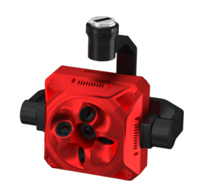
Distinguishable features
GEMS is a 2-camera standalone low SWAP UAV subsystem. It allows any UAV or Remote Controlled, fixed wing or rotory vehicle, to fly and collect precision camera imagery. The sensor payload is completely standalone and provides precision navigation and GPS data. The system integrators dream-just plug it in and fly! Does not need integration with external sensors to mosaic images. Provides mosaiced RGB, NIR, and NDVI aerial imagery.
More in UAS Cameras