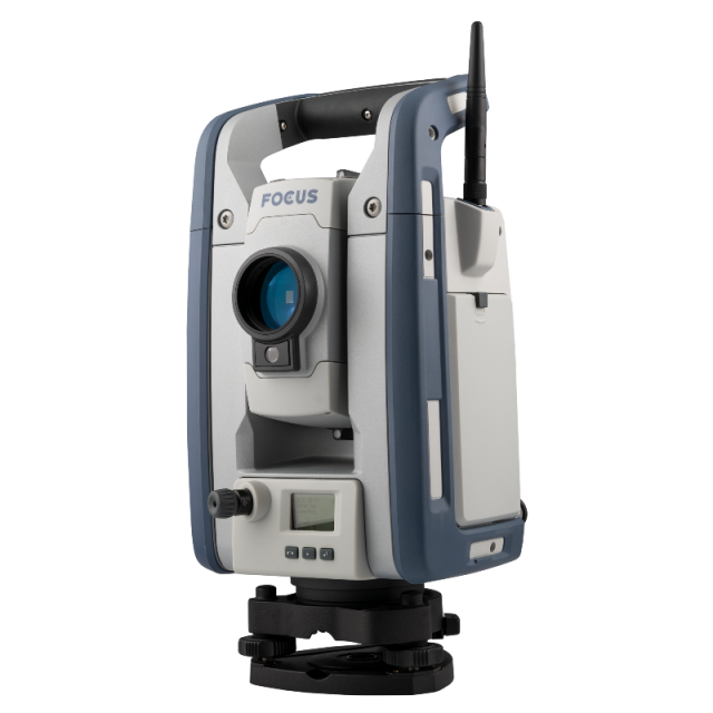


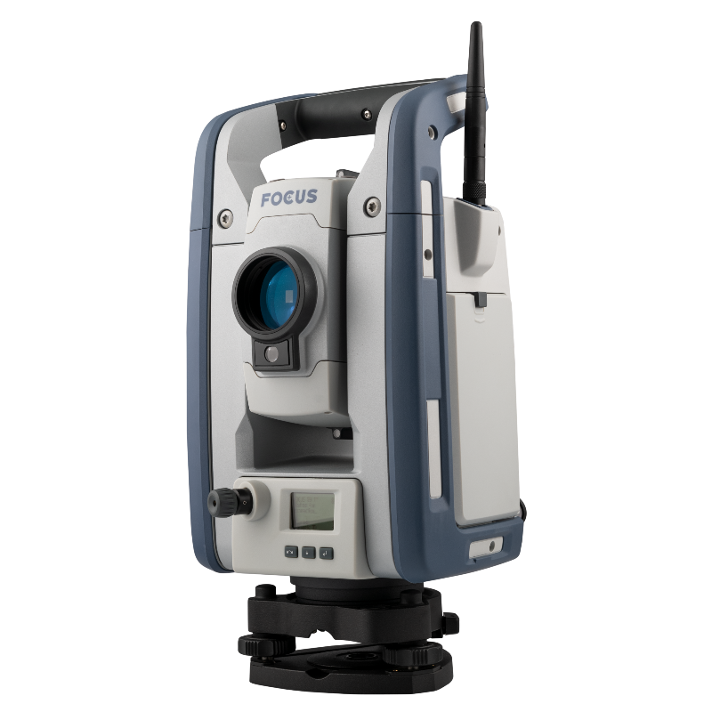

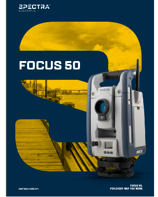
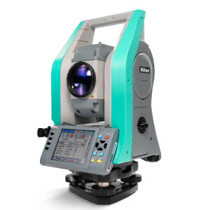
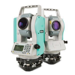
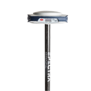
FOCUS 50 Total Station
Powerful, easy-to-use, affordable, and tough, the FOCUS 50 delivers high performance and versatility for every way you work.
The Spectra Geospatial FOCUS 50 is a robotic total station you can customize to fit your needs. Available in three models, with your choice of angular accuracy – 1″, 2″, 3″or 5″. The FOCUS 50 features the smoothness of MagDrive™, the stability of SurePoint™ and the productivity of Autolock™.

Spectra Geospatial
Carquefou (Nantes),, FR
Description
The Spectra Geospatial FOCUS 50 is a robotic total station you can customize to fit your needs. Available in three models, with your choice of angular accuracy – 1″, 2″, 3″or 5″. The FOCUS 50 features the smoothness of MagDrive™, the stability of SurePoint™ and the productivity of Autolock™.
- Magdrive, instrument drive system moves silently while it precisely and reliably turns to,and repeats angle measurements, including endless fine adjustment
- SurePoint technology eliminates the angular measurement errors associated with tripod movements, in real time.
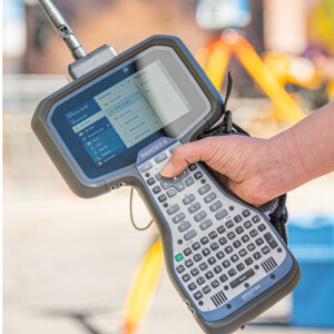
- Autolock automatically tracks and locks onto prisms to reduce errors related to manual aiming, and also reduces down time by not having to re-point the instrument for every observation.
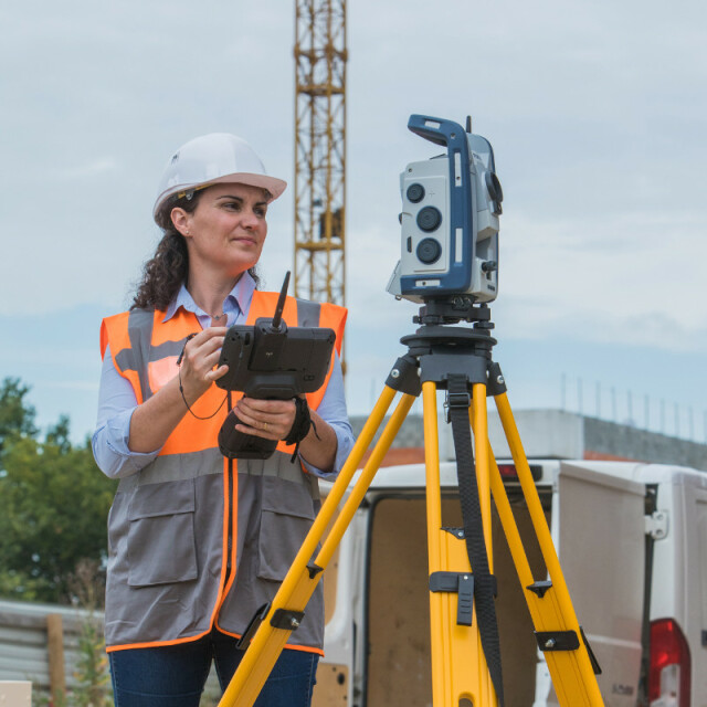
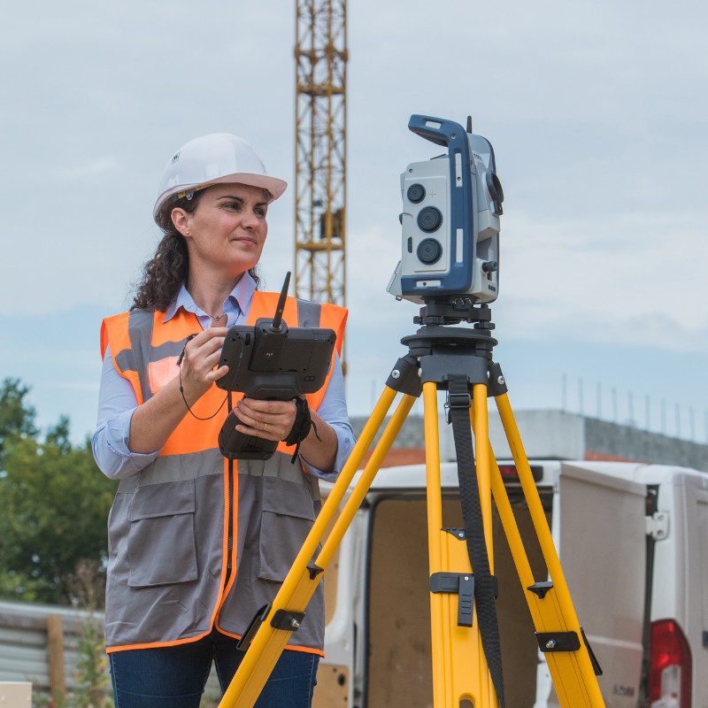
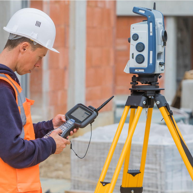
This high-performance Robotic Total Station is designed to be easy to learn, and pairs perfectly with the suite of Spectra Geospatial Field Software options, including Origin, Layout Pro, and Survey Pro. The FOCUS 50 total station is available in three models, Autolock, Short Range Robotic, and Long Range Robotic.
- The Autolock Model uses a cabled connection to communicate with data collectors.
- The Short Range Robotic Model uses Class 1 Bluetooth to communicate with data collectors.
- The Long Range Robotic Model utilizes our proprietary 2.4 GHz radio to communicate with data collectors,
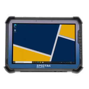
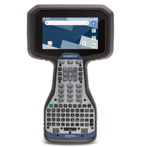
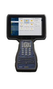
The FOCUS 50 Robotic Totals Station can be used with the Ranger 5, the Ranger 7, or a tablet. Powerful, easy-to-use, affordable, and tough, the FOCUS 50 delivers high performance and versatility for every way you work.
Do you have questions about this product?
- Questions about price, availability, and/or retailers
- Questions about technical specifications and usage
- Questions about suitability for your project or application
Specifications
-
General
-
Year of introduction
2021
Year of last update
2021
Height [m]
0.34
Width [m]
0.21
Weight [kg]
5.4
Display Panel
Yes, LC-display on Face 2
-
User Interface
-
No. faces
2
Color display
N
Screen type
LC-display
Touchscreen
N
No. keys
3
-
Distance Measurement with Prism
-
Standard deviation: constant part [mm]
1
Standard deviation: variable part [ppm}
2
Maximum range with 1 mini prism [m]
5500
-
Integrated camera
-
Integrated camera available [Y/N]
N
-
Data Storage & Connectivity
-
SD Card [Y/N]
N
USB [Y/N]
N
RS-232 /422 Serial [Y/N]
Y
Compact Flash [Y/N]
N
Bluetooth {Y/N}
Y
Radio [Y/N]
Y
-
Miscellaneous
-
Laser plummet
N
Guiding light
Y
-
Automatic Tracking and Locking
-
Maximum Range [m]
600
Maximum angular speed [deg/s]
90
-
Robotic operation
-
Compatible with GNSS for detail survey
Y
Recommended controller
Spectra Geospatial Ranger 5, Ranger 7, or ST10
-
Integrated Laser Scanning
-
Integrated laser scanning available [Y/N]
N
-
Operation
-
Minimum working temperature [degC]
-20
Maximum working temperature [degC]
50
IP dust/water protection class [IPxx]
65
-
Distance Measurement without Prism
-
Standard deviation: constant part [mm]
2
Standard deviation: variable part [ppm]
2
Maximum range on Kodak gray [m]
600
Maximum range on Kodak white [m]
1300
-
Power Supply
-
Battery
Y
Capacity
10.8 V, 6.5 Ah
Max. operation time on one battery [hr]
7.5
Batteries hot-swappable
N
-
Support
-
Standard warranty [years]
2
Reach of global support network
Worldwide
-
Angle Measurement
-
Standard deviation [arcsec]
1
-
More information
-
Distinguishable features
MagDrive™ servo system, SurePoint™ real-time tilt correction, and Autolock™ tracking technology
-
Connectivity
-
Bluetooth
Y
USB
No
RS232
Yes
Other connectors or connector specifications
Connectivity options vary by model