


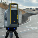

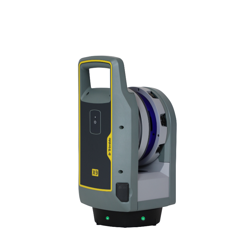


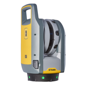
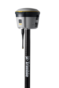
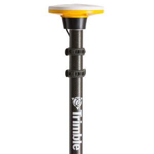
Trimble X9 3D Laser Scanning System
Versatile advanced scanning and imaging you can depend on.
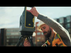
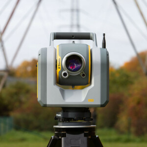
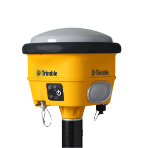
The Trimble X9 3D Laser Scanner has proven innovations like automatic calibration, self-leveling and laser pointer for unmatched versatility and reliability. Do more, better, faster with the range, accuracy and short scan times you need to boost productivity. Trimble Perspective field software completes the system with powerful in field registration workflows and full project visibility to get the job done right the first time.

Trimble, Inc.
Westminster, US
Description
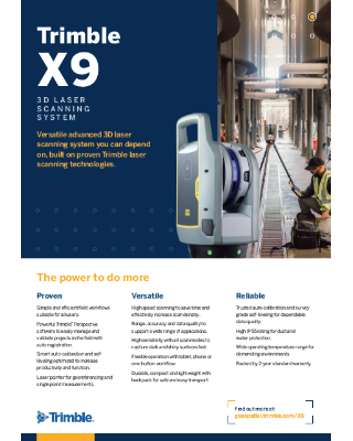
The Power to do More
When we set out to create the Trimble X9 laser scanning system, we were already ahead of the game. Built on proven Trimble laser scanning technologies that include automatic instrument calibration, self leveling and laser pointer for georeferencing, the X9 delivers the range, accuracy and speed to do more, better, faster.
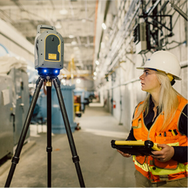
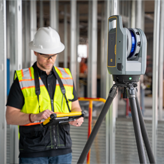
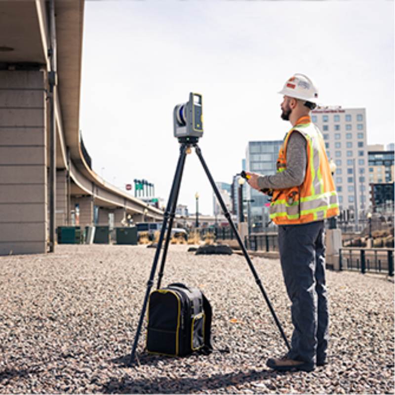
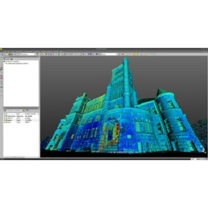
Scan even the most challenging environments with high sensitivity to achieve optimal results on difficult surfaces. Self leveling provides easy instrument setup that is complemented by streamlined in field registration workflows with Trimble Perspective to optimize productivity. With Trimble Perspective visualization, you’ll know you captured the data you need and can move from field to office with total confidence every time.
The Trimble X9 system takes the guesswork out of scanning. Capture reality in minutes for a job done right the first time. Get ahead of the game with Trimble.
Do you have questions about this product?
- Questions about price, availability, and/or retailers
- Questions about technical specifications and usage
- Questions about suitability for your project or application
Specifications
-
Application
-
Training facilities
Yes
Main users
Surveyors, engineers, architects, projects managers, service providers
Distinguishable features
Automatic calibration, infield registration, survey grade self-leveling, 2 year standard warranty
Main applications
Building As-builts, Construction, Facility Management, Industrial Survey, Civil Infrastructure, Topographic/General Surveys, Forensics, Utilities, Marine Construction, Tank Calibration & Inspection, Mining, Cultural Heritage
-
Peripherals
-
External Camera
Y
Export formats of camera image
Panorama JPG export
User interface
Windows 10 tablet running Trimble Perspective, Trimble Field Link, Trimble Capture, or Perspective Mobile
Additional sensors
IMU, laser pointer, self-leveling LEDs
Registration/orientation methods
Automatic Registration
-
Operation Characteristics
-
Operating temperature: min. [°C]
-20
Operating temperature: max. [°C]
50
Humidity range [%]
Non-condensing
Internal Camera
Y
Control panel built in
N
IP Rating
IP55
Dual Axis Compensation
Y
-
Scanning Characteristics
-
Max. vertical field of view [deg]
282
Max. horizontal field of view [deg]
360
Beam deflection mechanism
Protected rotating mirror
Max. measurement rate [kHz]
1000
Min. scan duration with typical resolution [min]
0.5
Scan duration with highest resolution [min]
6.08
-
Software Functionality
-
Software name
Trimble RealWorks and Trimble Business Center
Automatic detection of tie points
Y
Real time visualization during scanning
Y
Geo-referencing
Y
Fitting of primitives
Y
Specification of primitives
3D Solids
-
Laser Ranger
-
Range measurement principle
pulse
Wavelength [nm]
1530.157
Laser safety classification
1
Min. Range [m]
0.6
Max. Range [m]
150
Range uncertainty (constant part) [mm]
2
Beam diameter at exit [mm]
2.6
Beam divergence [mrad]
0.8
Spot at 50 m distance [mm]
38
Water/Dust Protection
IP55
Operating Time
10.5 with 3 batteries
General Contractor Kit
X9 Instrument Pack with Trimble T10x Tablet, Perspective and Carbon Fiber Tripod
-
Power
-
Battery type
3 Internal Lithium-ion
Scan time per battery [h]
3.5
-
General
-
Year of introduction
2023
Height [m]
0.353
Depth [m]
0.17
Width [m]
0.178
Total Weight [kg]
6.045
Documents
Brochure
Trimble X9_Datasheet_US.pdf
Other documents
-
Trimble X9 3D Laser Scanning System Datasheet469.88 KB
-
Trimble 3D Laser Scanning Solution Comparison Guide (3)622.54 KB
-
Trimble 3D Laser Scanning Solution Application Guide (3)1.37 MB
Videos


