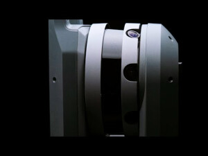
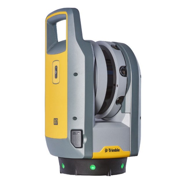


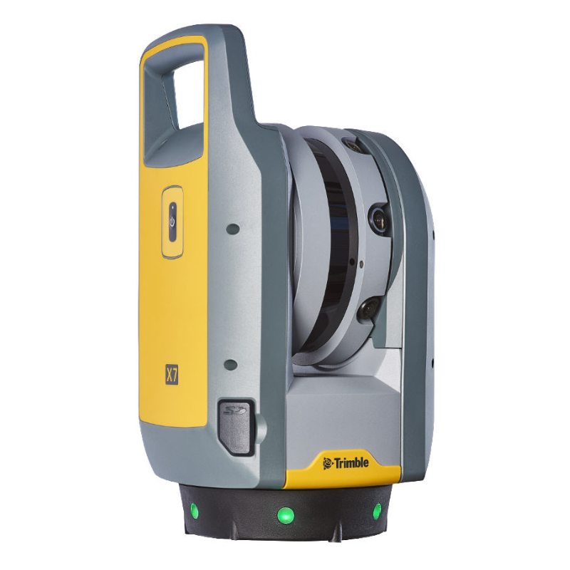
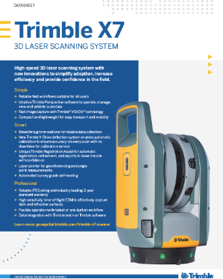
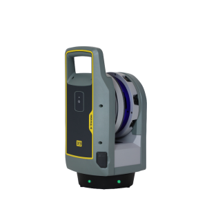
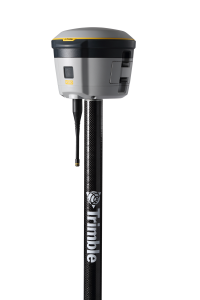
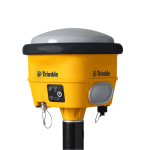
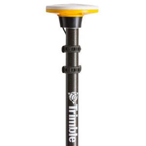
Trimble X7 3D Laser Scanning System
The Trimble X7 3D laser scanner Is a compact, lightweight system with new innovations
The scanner that changed the industry, offering reliable performance for standard indoor or short-range surveying needs.

Trimble, Inc.
Westminster, US
Description
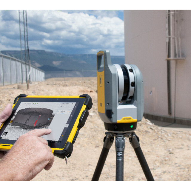
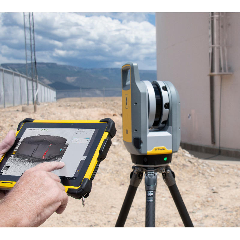
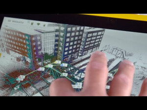
With the Trimble X7 and Trimble Perspective field software, you get a dependable instrument backed by an industry-leading two-year warranty and comprehensive workflows to validate scan projects in the field.
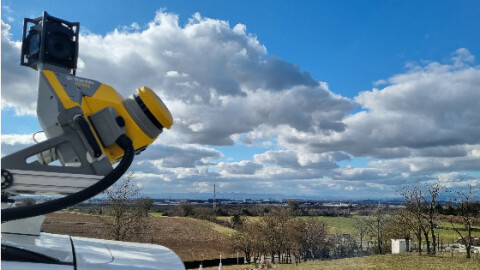
High-speed 3D laser scanning system with advanced technologies to simplify adoption, increase efficiency and provide confidence in the field powered by Trimble® Perspective.
- Automatic Calibration: Complete confidence in every scan with the industry's first smart calibration system. No targets or user interaction required. On-Demand calibration reports
- Self-leveling: Automatic survey grade level compensation
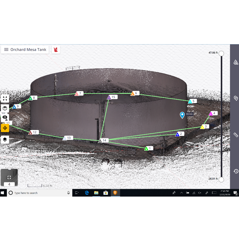
- Trimble Registration Assist: Increase your field productivity with the industry's most comprehensive automatic registration
- Laser Pointer: Provide visual confirmation of individual points to be measured by Trimble Perspective
- Georeferencing: Link registered scans to a project coordinate system in Trimble Perspective
Do you have questions about this product?
- Questions about price, availability, and/or retailers
- Questions about technical specifications and usage
- Questions about suitability for your project or application
Specifications
-
Application
-
Training facilities
Yes
Main users
Surveyors, engineers, architects, project managers, service providers
Distinguishable features
Automatic calibration, infield registration, survey grade self-leveling, 2 year standard warranty
Main applications
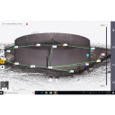
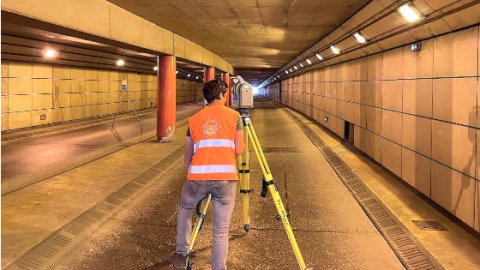
Building As-builts, Construction, Facility Management, Industrial Survey, Civil Infrastructure, Topographic/General Surveys, Forensics, Utilities, Marine Construction, Tank Calibration & Inspection, Mining, Cultural Heritage
-
Peripherals
-
External Camera
Y
User interface
Windows 10 tablet running Trimble Perspective, Trimble Field Link or Trimble Capture field software
Additional sensors
IMU, laser pointer, self-leveling LEDs
Registration/orientation methods
Automatic Registration
-
Operation Characteristics
-
Operating temperature: min. [°C]
-20
Operating temperature: max. [°C]
50
Humidity range [%]
Non-condensing
Internal Camera
N
Control panel built in
N
IP Rating
IP55
Dual Axis Compensation
Y
-
Scanning Characteristics
-
Max. vertical field of view [deg]
282
Max. horizontal field of view [deg]
360
Beam deflection mechanism
Protected rotating mirror
Max. measurement rate [kHz]
500
Min. scan duration with typical resolution [min]
2
Scan duration with highest resolution [min]
7
-
Software Functionality
-
Software name
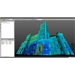
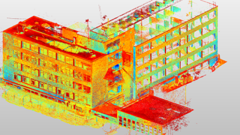
Trimble RealWorks and Trimble Business Center
Automatic detection of tie points
Y
Real time visualization during scanning
Y
Geo-referencing
Y
Fitting of primitives
Y
Specification of primitives
3D Solids
-
Laser Ranger
-
Range measurement principle
pulse
Wavelength [nm]
1550
Laser safety classification
1
Min. Range [m]
0.6
Max. Range [m]
80
Range uncertainty (constant part) [mm]
2
Beam diameter at exit [mm]
2.6
Beam divergence [mrad]
0.8
Spot at 50 m distance [mm]
36
-
Power
-
Battery type
3 Internal Lithium-ion
Scan time per battery [h]
4
-
General
-
Year of introduction
2019
Height [m]
0.353
Depth [m]
0.17
Width [m]
0.178
Total Weight [kg]
5.8
Documents
Brochure
Datasheet - Trimble X7 - English (US) - Screen.pdf
Other documents
-
Trimble X7 Datasheet639.02 KB
-
Trimble 3D Laser Scanning Solution Comparison Guide622.54 KB
-
Trimble 3D Laser Scanning Solution Application Guide1.37 MB


