Trimble Access
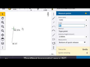
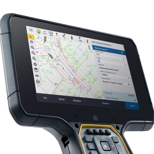
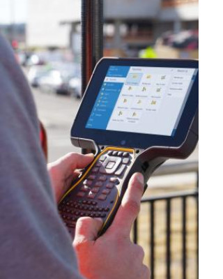
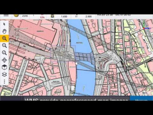
The Trimble Access software suite offers surveyors and geospatial professionals a range of specialized field applications designed to make fieldwork easier. With an easy-to-use interface, optimized workflows, and real-time data synchronization, the Trimble Access software suite enables you to accomplish more every day. Improve your competitive edge by selecting the applications that best suit the work that you do.

Trimble, Inc.
Westminster, US
Description
Do you have questions about this product?
- Questions about price, availability, and/or retailers
- Questions about technical specifications and usage
- Questions about suitability for your project or application
Specifications
-
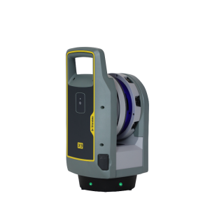
Laser scanning
-
Laser scan data collection
Y
Compute unregistered point cloud
Y
-
Photogrammetric data processing
-
Photo planning
N
Processing in cloud / on-premise
N
Airborne photography
N
Handheld terrestrial photography
N
Can more than one camera be used?
N
Camera calibration computed for all cameras used
N
Accepts input camera calibration data
N
Data from more than one camera supported
N
Accepts GNSS RTK photo exposure positions
N
Supports registration to ground control
N
-
GNSS data and processing
-
GNSS static / RTK data collection
Y
GNSS setting out
Y
Input data formats supported
.CSV, .TXT, .DXF, .IFC, .DTM, .JXL, .JOB, .DC
Output data for least squares adjustment with data from other sources
Y
Base and rover RTK
Y
Network RTK
Yes, including Trimble VRS Now.
Post processed kinematic
Y
-
GNSS + dead reckoning data (mobile mapping)
-
IMU data used trajectory computation
N
SLAM data used in trajectory computation
N
Wheel odometer data used in trajectory computation
N
SfM (photogrammetry) used in trajectory computation
N
Adjust trajectory to fit overlapping point cloud data
N
Adjust trajectory to fit ground control points
N
Adjust point clouds (not trajectory) to fit ground control points
N
Trajectory provided with precision data
N
-
Levelling and Orientation
-
Rise and fall level book format output
N
Height of collimation level book format output
N
Unadjusted levels, adjustment and adjusted level shown
N
Output data for least squares adjustment with data from other sources
N
-
Total Station (TS) data processing
-
Traverse computation
Y
Output data for least squares adjustment with data from other sources
Y
Compute 3D radial observations
Y
TS setting out
Y
Feature attribute coding
Y
Feature geometry coding
Y
Data input formats supported
.CSV, .TXT, .DXF, .IFC, .DTM, .JXL, .JOB, .DC, .SHP, .WMS, .PNG, .JPG
Data output formats supported
.CSV, .TXT, .DXF, .DTM, .JXL, .JOB, .DC, .SHP
-
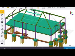
CAD functions
-
CAD functions for Internal measured building surveys
Y
CAD functions for open drainage modelling
Y
CAD functions for Road applications
Y
CAD functions for Pipeline applications
Y
CAD functions for Overhead Power Line applications
Y
CAD functions for Site development applications
Y
Output formats supported
Customizable ASCII exports
-
General
-
Software version
2019.00
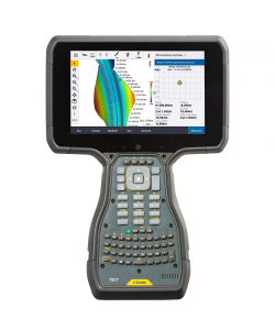
Mobile (real time connected to instrument)
Y
-
Integrated environment for
-
GNSS data
Y
GNSS + dead reckoning data (Mobile Mapping)
N
Point cloud data
Y
Level data
N
Integrated least squares computation of control
Y
Transformation between map projections
Y
Compute TIN
Y
Volume computation by substracting surfaces
Y
Documents
Brochure
access-apps


