
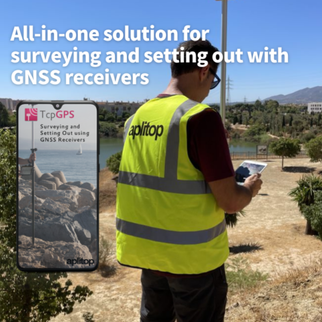
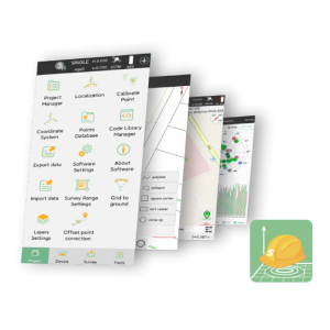
TcpGPS for Android™
Android Field Software for Surveying and Setting-Out With GNSS Receivers
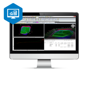
TcpGPS for Android allows the user to perform surveys and set out using a wide range of GNSS receivers, integrated into the data collector or connected via Bluetooth. This application has multiple options for surveying and stake out plots, terrains and linear works. You can use base maps as well as orthoimages, cartography and web map services.
APLITOP
Málaga, ES
Description
Base Maps
ESRI base maps with global coverage are used, which can be displayed in street, satellite or topographic mode. DXF, DWG or shape cartography files can also be loaded, as well as web map services (WMS/WMTS) provided by official authorities.
The program includes the EPSG geodetic parameter dataset, alowing to work with different coordinate reference systems organized by countries, and also local systems can be defined.
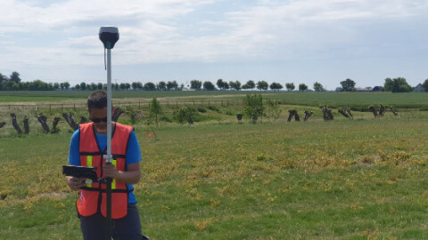
Surveying
The application allows the survey of topographic points by simply touching a button. Pictures, voice notes and optional codes can be attached to each point. Continuous survey allows to record points automatically, giving a distance or time interval.
Points and raw data can be exported to different formats, even all the information can be synchronized with Google Drive.
Stake Out
Points or lines to be staked out can be selected graphically or using some criteria. The application provides different help modes, as a map, a compass, a target or augmented reality. In all cases a voice system informs the user about proximity to target.
Civil Works
TcpGPS is very useful for roads, railways and civil work projects in general. It allows to import LandXML files and other formats containing horizontal and vertical alignments, as well as cross sections distributed in different layers.
Points in a constant intrval referring to the horizontal alignment or only specified points (road edges, shoulders, curbs...) can be staked out. Slopes control options are also provided.
GNSS Receiver
TcpGPS allows to connect easily with a wide range of GNSS receivers, both integrated into devices and external conected via Bluetooth. GPS, GLONASS, Beidoiu, Galileo and SBAS constellations are supported.
The status bar shows in real time the type of position, precisions, Bluetooth status...
Specifications
-
GNSS data and processing
-
GNSS static / RTK data collection
Y
GNSS setting out
Y
Input data formats supported
DXF,DWG,SHP,GML,KML
Static baseline post-processing
N
Output data for least squares adjustment with data from other sources
N
Base and rover RTK
Y
Network RTK
Internet,Radio
-
CAD functions
-
CAD functions for Road applications
Y
CAD functions for Site development applications
Y
Output formats supported
TXT,CSV,DXF,KML,SHP,GML
-
General
-
Software version
2.4
Mobile (real time connected to instrument)
Y
Laptop / Office computer (post processing)
N
-
Integrated environment for
-
GNSS data
Y
TPS data
N
Point cloud data
Y
Level data
N
Integrated least squares computation of control
N
Transformation between map projections
Y
Compute grid DTM
N
Compute TIN
Y


