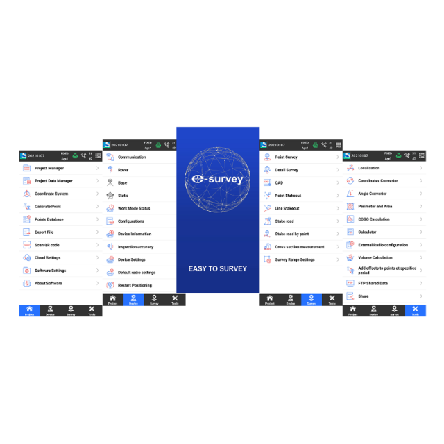
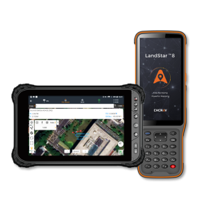
SurPad 4.2
Android - Field Data Collection Software
Based on the Android platform, SurPad 4.2 is designed for assisting professionals to work efficiently on all types of land surveying and road engineering projects in the field. Combining with the international mainstream of surveying and mapping data acquisition function, it integrates with professional receiver control, point collection, stakeout, GIS data collection, road measurement, road design, cross-section measurement, and railway stakeout.
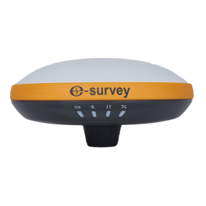
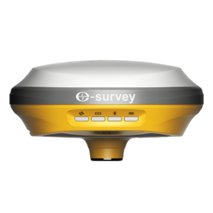
eSurvey GNSS
Shanghai, CN
Description
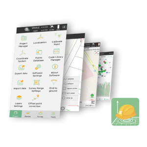
Powerful functions
Enjoy the powerful functions, including tilt survey, CAD, line stakeout, road stakeout, GIS data collection, COGO calculation, QR code scanning, FTP transmission, etc.
Easy-to-use UI
Freely choose the desired display style, including list, grid and customized style, and enjoy easy operations with graphic interaction, including COGO calculation, QR code scanning, FTP transmission, etc.
Compatible with any Android devices
Use it in all Android devices, including eSurvey handhelds, Android phones, tablets and other third-party Android devices.
Abundant import and export formats
Directly import and export files with frequently used formats and customized formats.
Specifications
-
GNSS data and processing
-
GNSS static / RTK data collection
Y
-
CAD functions
-
CAD functions for Internal measured building surveys
Y
CAD functions for open drainage modelling
Y
CAD functions for Rail applications
Y
CAD functions for Road applications
Y
CAD functions for Site development applications
Y
CAD functions for Industrial plant applications
Y
-
General
-
Software version
V4.2
Mobile (real time connected to instrument)
Y
Laptop / Office computer (post processing)
N
-
Integrated environment for
-
GNSS data
Y
GNSS + dead reckoning data (Mobile Mapping)
Y
TPS data
Y
Point cloud data
Y


