

Origin Field Software
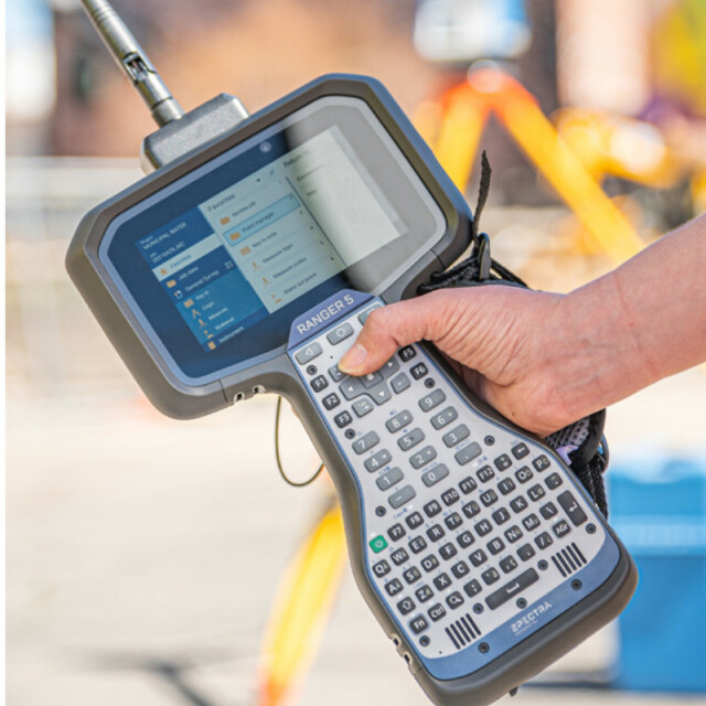
Origin field software is the new software professional surveyors need for expediency in handling a full range of projects including topographic survey, control, staking and roading.
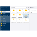
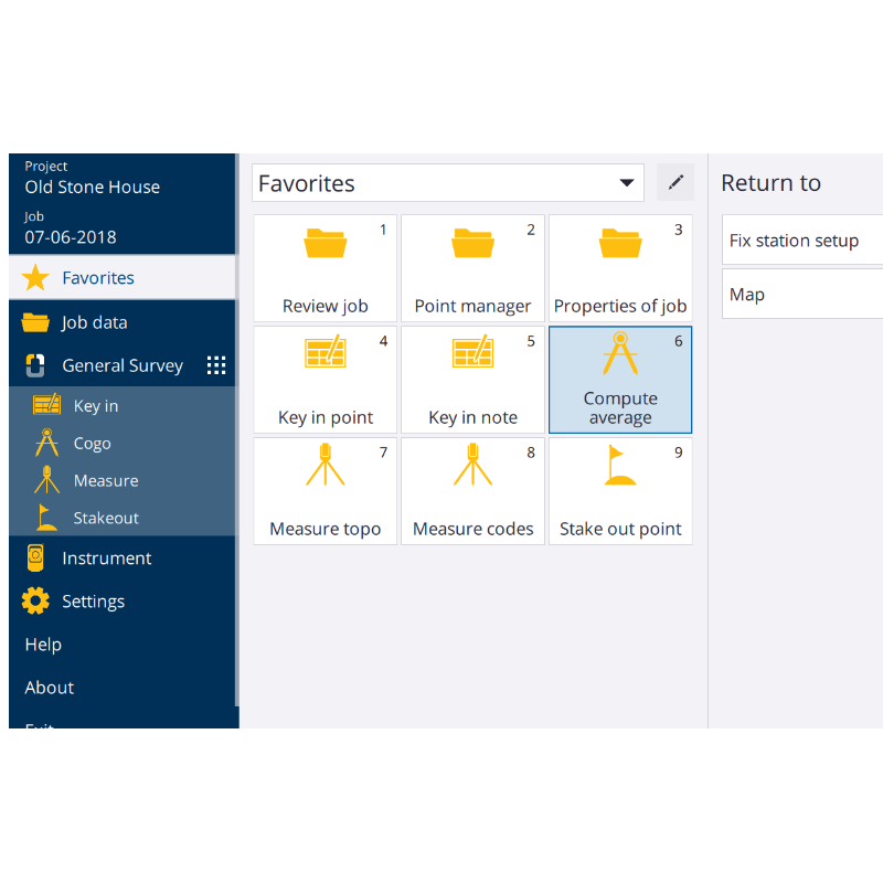
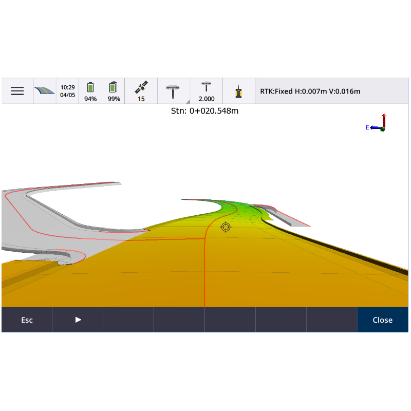
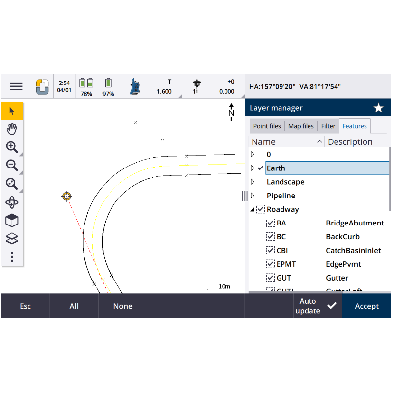
Origin is a full feature software for every survey and GIS need, including data collection, calculation, mapping, storage, data management, and much more in one modern software package. Origin works on both Android and Windows operating systems and supports integrated surveys, so you can use GNSS and instrument data in the same job file. Origin is specifically designed to bring the latest technology to Spectra customers and increase your productivity.

Spectra Geospatial
Carquefou (Nantes),, FR
Description
Designed for Today. Built for Tomorrow
Full feature software for every survey and GIS need, including data collection, calculation, mapping, storage, data management, and much more in one modern software package. Origin works on both Android and Windows operating systems and supports integrated surveys, so you can use GNSS and instrument data in the same job file. Origin is specifically designed to bring the latest technology to Spectra customers and increase your productivity.
Features for Today & Tomorrow
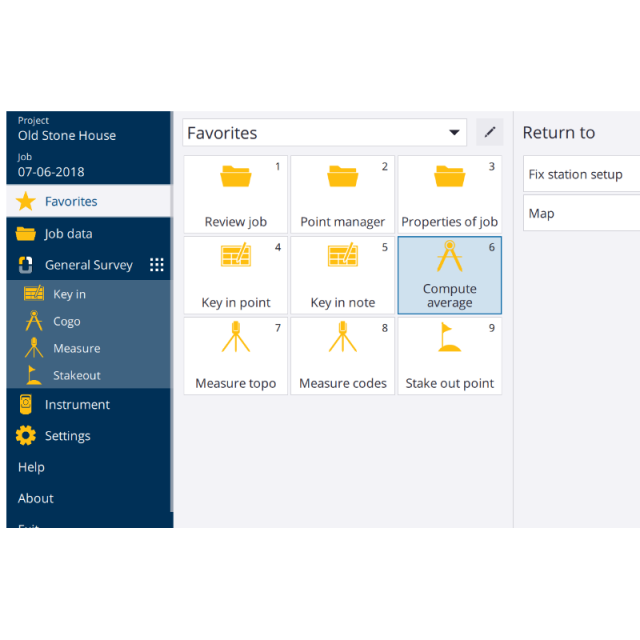
- Easy to use, modern field survey software
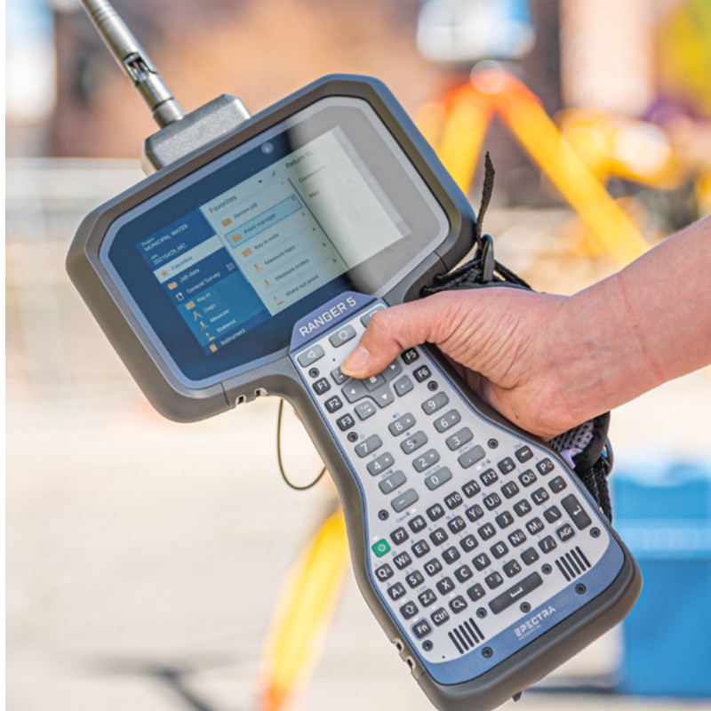
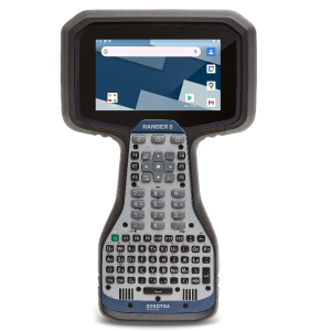
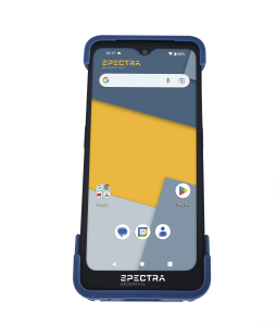
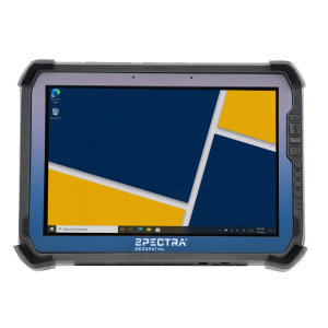
- Supports Spectra Geospatial Android* and Windows devices
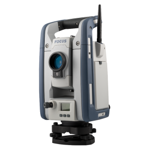
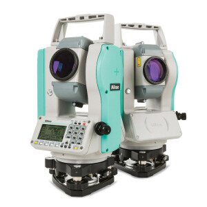
- Full support for a wide range of instruments including mechanical and robotic instruments, as well as GNSS receivers
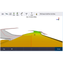
- Fully featured stakeout including points, lines, arcs, and polylines
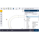
- Advanced measurement tools like Measure codes for simple and fast topographic feature and attribute collection
- Cloud connectivity for data transfer and communication between the field and the office
- Integrated Surveying technology to enable optical and GNSS workflows in the same job, even supporting simultaneous connections to the total station and GNSS receiver
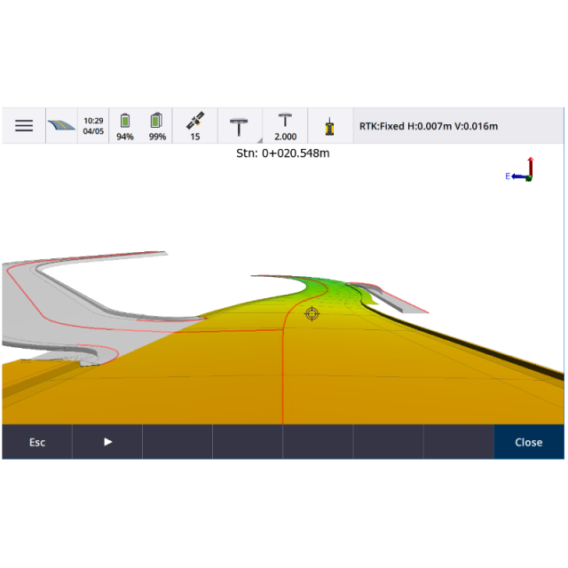
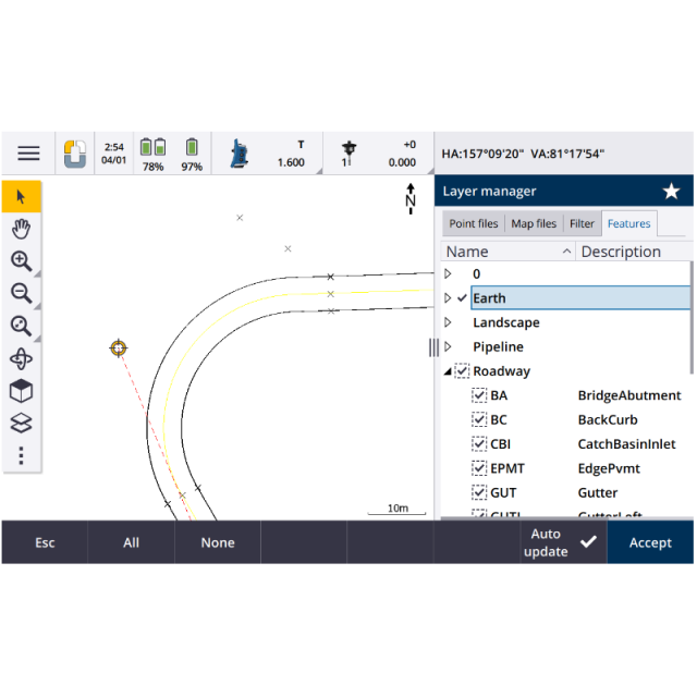
- Modern map displays with support for DXF, LandXML, WMS, JPG, and many more map files
- Intuitive COGO directly in the map utilizing data in the job or related map files
Do you have questions about this product?
- Questions about price, availability, and/or retailers
- Questions about technical specifications and usage
- Questions about suitability for your project or application
Specifications
-
Laser scanning
-
Laser scan data collection
N
Compute unregistered point cloud
N
Point cloud registration to targets in cloud
N
Cloud to cloud registration
N
-
Photogrammetric data processing
-
Photo planning
N
Processing in cloud / on-premise
N
Airborne photography
N
Handheld terrestrial photography
N
Can more than one camera be used?
N
Camera calibration computed for all cameras used
N
Accepts input camera calibration data
N
Data from more than one camera supported
N
Accepts GNSS RTK photo exposure positions
N
Supports registration to ground control
N
Output data formats supported
nn
-
GNSS data and processing
-
GNSS static / RTK data collection
Y
GNSS setting out
Y
Input data formats supported
.CSV, .TXT, .DXF, .IFC, .DTM, .JXL, .JOB, .DC
Static baseline post-processing
Y
Output data for least squares adjustment with data from other sources
Y
Base and rover RTK
Y
Network RTK
Yes, including Trimble VRS Now.
Post processed kinematic
Y
-
GNSS + dead reckoning data (mobile mapping)
-
IMU data used trajectory computation
N
SLAM data used in trajectory computation
N
Wheel odometer data used in trajectory computation
N
SfM (photogrammetry) used in trajectory computation
N
Adjust trajectory to fit overlapping point cloud data
N
Adjust trajectory to fit ground control points
N
Adjust point clouds (not trajectory) to fit ground control points
N
Trajectory provided with precision data
N
-
Levelling and Orientation
-
Rise and fall level book format output
N
Height of collimation level book format output
N
Unadjusted levels, adjustment and adjusted level shown
N
Output data for least squares adjustment with data from other sources
N
-
Total Station (TS) data processing
-
Traverse computation
Y
Output data for least squares adjustment with data from other sources
Y
Compute 3D radial observations
Y
TS setting out
Y
Feature attribute coding
Y
Feature geometry coding
Y
Data input formats supported
.CSV, .TXT, .DXF, .IFC, .DTM, .JXL, .JOB, .DC, .SHP, .WMS, .PNG, .JPG
Data output formats supported
.CSV, .TXT, .DXF, .DTM, .JXL, .JOB, .DC, .SHP
-
CAD functions
-
CAD functions for Internal measured building surveys
Y
CAD functions for open drainage modelling
Y
CAD functions for Rail applications
N
CAD functions for Road applications
Y
CAD functions for Pipeline applications
N
CAD functions for Overhead Power Line applications
N
CAD functions for Site development applications
Y
CAD functions for Industrial plant applications
N
Output formats supported
Customizable ASCII exports
-
General
-
Software version
2021.10
Mobile (real time connected to instrument)
Y
Laptop / Office computer (post processing)
Y
-
Integrated environment for
-
GNSS data
Y
GNSS + dead reckoning data (Mobile Mapping)
N
Point cloud data
N
Level data
N
Integrated least squares computation of control
Y
Transformation between map projections
Y
Compute grid DTM
Y
Compute TIN
Y
Computation of sections through surfaces
N
Volume computation from sections
Y
Volume computation by substracting surfaces
Y
Documents
Brochure
sg-origin-br-v6-web.pdf
1.68 MB
Videos