MAGNET Survey
Fast and Easy Field to Finish Drafting and Data Processing to Create Finished Surveys
Draft and design property plots, subdivision designs and land-development projects.

Topcon
Capelle aan den IJssel, NL
Description
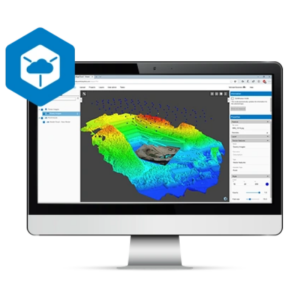
Smart processing and field-to-finish
Process data within an intuitive drafting environment and create simplified or detailed drawing layouts. Prepare and share your survey data to deliver for use by civil engineers, land surveyors or machine operators in the field.
- Full range of sub-division design tools
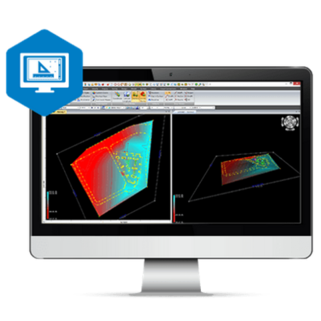
- Contour and surface creation, volumetrics and automated pad design
- User-defined title blocks, symbols and linetypes
- Includes MAGNET Tools processing and reporting software
- Secure, direct MAGNET Enterprise connectivity for team collaboration
Connecting field to office in real time
Reduce errors and keep projects moving forward with better project team collaboration. Direct connectivity to MAGNET Enterprise makes it easy for you to access files collected in the field and share design changes with everyone on your team. Save time, collaborate, and get better results.
Do you have questions about this product?
- Questions about price, availability, and/or retailers
- Questions about technical specifications and usage
- Questions about suitability for your project or application
Documents
Brochure
topcon-magnet-digitalbooklet-corporatedocument-7.pdf
5.53 MB


