


FieldGenius
Easy-To-Use Data Collection
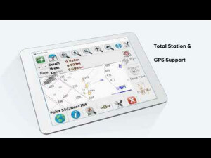
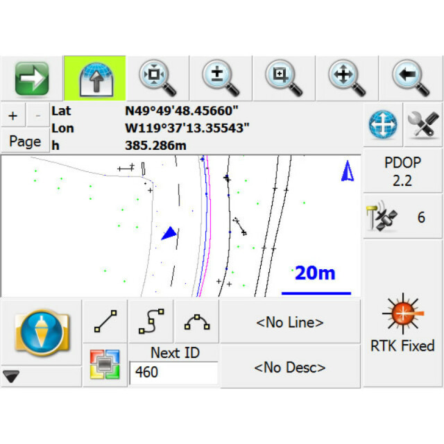
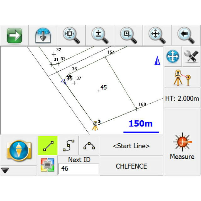
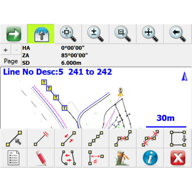
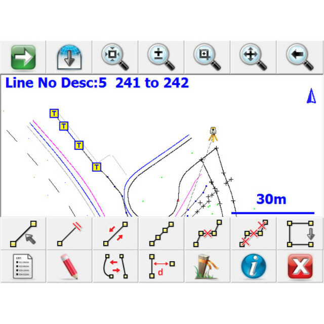
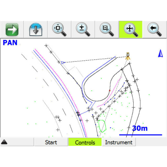
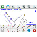
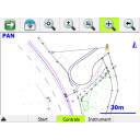
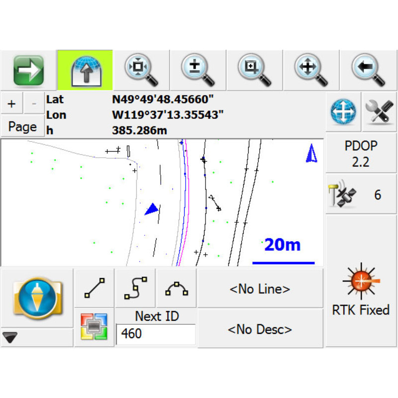
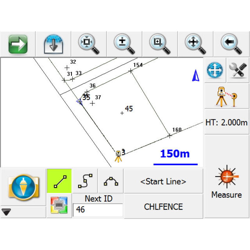
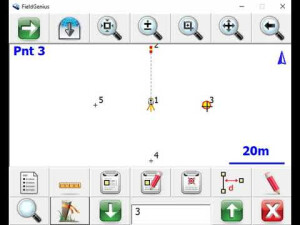
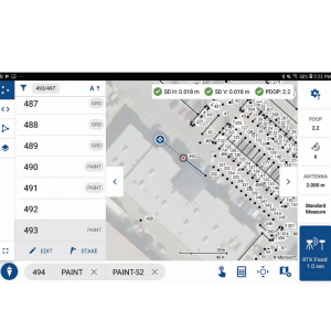
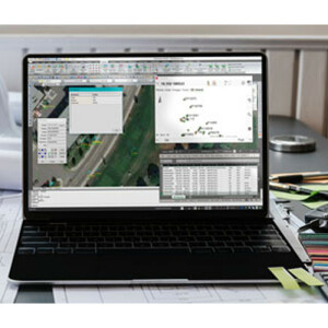
FieldGenius has evolved into the most powerful and productive data collection software in the land surveying market. Code-free linework, smart points, and live graphics make FieldGenius the choice of organizations that value productivity.

MicroSurvey Software Inc.
West Kelowna, CA
Description
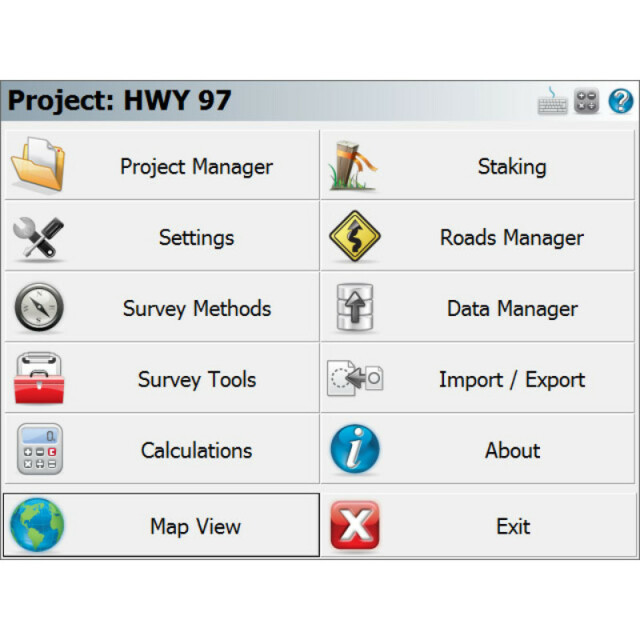
A reality of the surveying industry is that it’s likely you’re going to have a house full of different brands of hardware. FieldGenius is brand neutral, with drivers to support most common hardware available in the market today, as well as yesterday. FieldGenius is a mature, professional and full featured field survey software that also happens to be easy to use. Skilled employees time is highly valued and training new employees is expensive. Enabling these employees to be at their most productive with robust field software is a worthwhile investment. If you don’t make this investment, things such as travel time to and from jobs becomes a burden. Crews need to revisit the office for calculations or for troubleshooting. MicroSurvey FieldGenius has evolved over the last two decades to include all the tools the crew needs to resolve issues on site with all parts of the job from pickup, to layout to as builts. Be reassured that investing time training employees to use these tools will help them perform at their most efficient. These skills will also be fully applied the next time you need to invest in new equipment or switch to another instrument manufacturer as FieldGenius will be able to work with your crew from one product to the next. Invest in a workflow, instead of being married specific hardware that will become obsolete or brand specific software preventing you from being able to use all your gear.
Do you have questions about this product?
- Questions about price, availability, and/or retailers
- Questions about technical specifications and usage
- Questions about suitability for your project or application
Specifications
-
Laser scanning
-
Laser scan data collection
N
Compute unregistered point cloud
N
Point cloud registration to targets in cloud
N
Cloud to cloud registration
N
Scan data output formats supported
N/A
-
Photogrammetric data processing
-
Photo planning
N
Processing in cloud / on-premise
N
Airborne photography
N
Handheld terrestrial photography
N
Can more than one camera be used?
N
Camera calibration computed for all cameras used
N
Accepts input camera calibration data
N
Data from more than one camera supported
N
Accepts GNSS RTK photo exposure positions
N
Supports registration to ground control
N
Output data formats supported
N/A
-
GNSS data and processing
-
GNSS static / RTK data collection
Y
GNSS setting out
Y
Input data formats supported
NMEA, RINEX
Static baseline post-processing
N
Output data for least squares adjustment with data from other sources
Y
Base and rover RTK
Y
Post processed kinematic
Y
-
GNSS + dead reckoning data (mobile mapping)
-
IMU data used trajectory computation
N
SLAM data used in trajectory computation
N
Wheel odometer data used in trajectory computation
N
SfM (photogrammetry) used in trajectory computation
N
Adjust trajectory to fit overlapping point cloud data
N
Adjust trajectory to fit ground control points
N
Adjust point clouds (not trajectory) to fit ground control points
N
Trajectory provided with precision data
N
-
Levelling and Orientation
-
Import of instrument data
N/A
Rise and fall level book format output
N
Height of collimation level book format output
N
Unadjusted levels, adjustment and adjusted level shown
N
Output data for least squares adjustment with data from other sources
N
-
Total Station (TS) data processing
-
Traverse computation
Y
Output data for least squares adjustment with data from other sources
Y
Compute 3D radial observations
Y
TS setting out
Y
Feature attribute coding
Y
Feature geometry coding
Y
Data input formats supported
.raw
Data output formats supported
.raw
-
CAD functions
-
CAD functions for Internal measured building surveys
N
CAD functions for open drainage modelling
N
CAD functions for Rail applications
N
CAD functions for Road applications
N
CAD functions for Pipeline applications
N
CAD functions for Overhead Power Line applications
N
CAD functions for Site development applications
N
CAD functions for Industrial plant applications
N
Output formats supported
.DWG, .DXF, .LandXML
-
General
-
Software version
11.0.2
Mobile (real time connected to instrument)
Y
Laptop / Office computer (post processing)
N
-
Integrated environment for
-
GNSS data
Y
GNSS + dead reckoning data (Mobile Mapping)
Y
TPS data
Y
Point cloud data
N
Level data
N
Transformation between map projections
Y
Compute grid DTM
Y
Compute TIN
Y
Computation of sections through surfaces
Y
Volume computation from sections
Y
Volume computation by substracting surfaces
Y
Documents
Brochure
FieldGenius.pdf?dl=0

