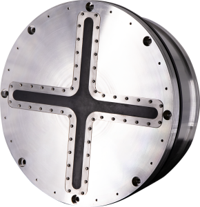
Echoes 10,000 SBP
Shallow water high-resolution SBP
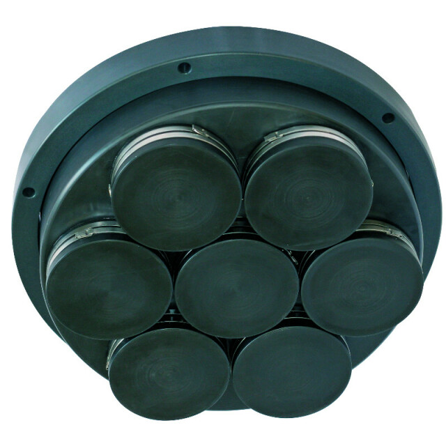
Echoes 10,000 is an ultra-high-resolution sub-bottom profiler (SBP) designed for shallow water environments. It incorporates iXblue flat spectrum Tonpilz ceramic transducers allowing unrivalled data delivery.

Exail
Saint Germain en Laye, FR
Description
Echoes 10 000 is an ultra high-resolution sub-bottom profiler (SBP) designed for shallow water environments. It incorporates iXblue flat spectrum Tonpilz ceramic transducers allowing unrivaled data delivery.
Do you have questions about this product?
- Questions about price, availability, and/or retailers
- Questions about technical specifications and usage
- Questions about suitability for your project or application
Specifications
-
Mode of operation
-
Operating System
Windows, Other
Min. depth of operation [m]
1
Max. depth of operation [m]
2
Min. frequency [Hz]
5
Max. frequency [Hz]
15
Signal composition
Chirp
Power output [W]
2000
Max. resolution [m]
0.08
Max. penetration [m]
80
Max. pulse length [s]
0.1
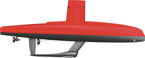
Platform type
Hull Mounted, Side Mounted, Pole Mounted
Frequency
-
General
-
Product type
Shallow Water Ultra-High Res. SBP
Year of initial development
2007
Application
High Resolution
Max power consumption [W]
600
Power type
AC
Transducer weight [kg]
26
Transducer length [m]
0.38
Transducer width [m]
0.38
Transducer height [m]
0.2
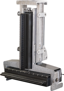
Weight of logging unit [kg]
17
Length of logging unit [m]
0.486
Width of logging unit [m]
0.483
Height of logging unit [m]
0.177
Components to be used in combination with product
GPS, inertial navigation system
Portability of logger
Desktop, Portable, Rack
-
Integration in work process
-
Remote operation
Y
External positioning input
Y
Marking of events
Y
Real time coupling to survey software
Y
Coupling to post-processing software
Y
-
Data Processing
-
Data displayed
Navigation, attitude, depth, signal voltage, spectrum. On-screen measurement of horizontal and vertical distance; slope.
Main use
Shallow water surveys (ports, lakes and waterways), marine archeology, buried objects detection, environmental, dredging, buried pipe and cable detection
Data output
Raw and processed data; plotter/printer outputs
Formats
SEGY/XTF/NAV/TIFF/ASCII/SHAPE/GeoTIFF
Data output for seafloor classification
Y
Post-processing
DELPH Seismic Interpretation, gain corrections, horizontal stacking, swell filtering, digitizing, DTM building, volume computation.
Connections
LAN, RS232, USB
Internal logging
DVD, Hard drive
Videos
