


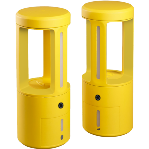
BALI
Autonomous single beam bahtymetric system
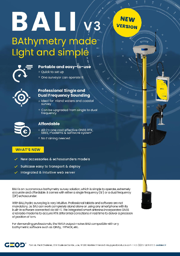
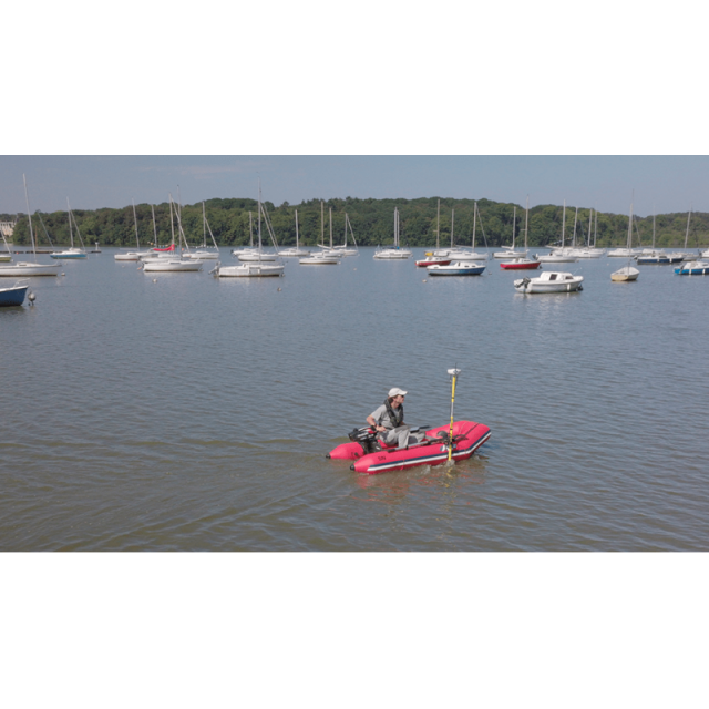
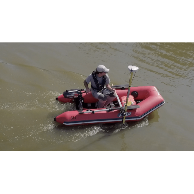
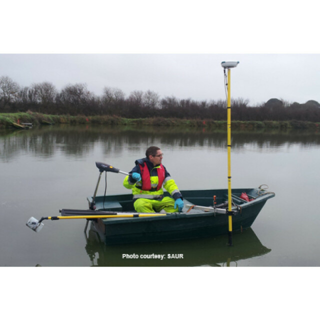
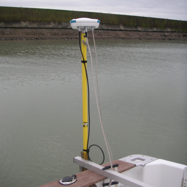
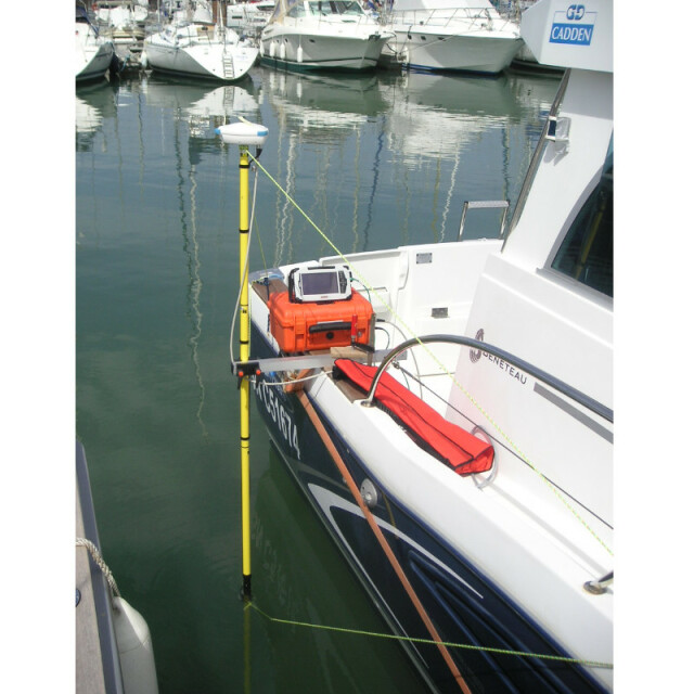
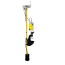
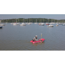
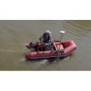
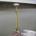
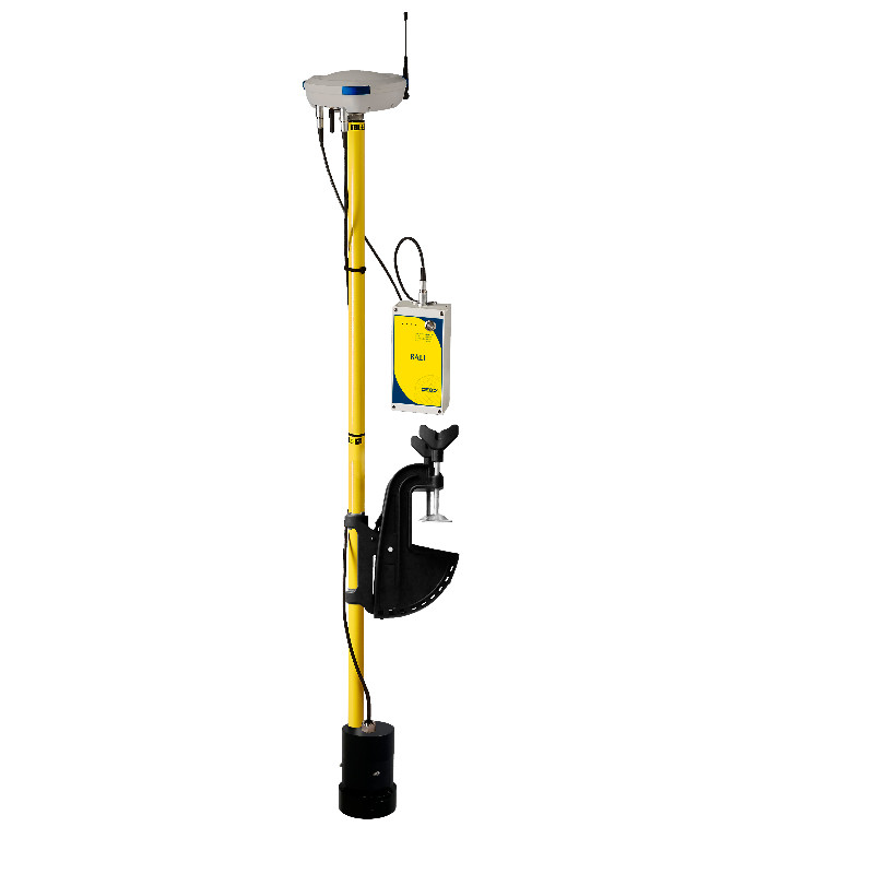
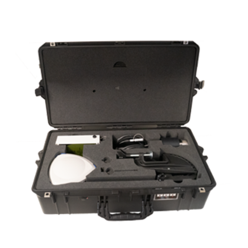
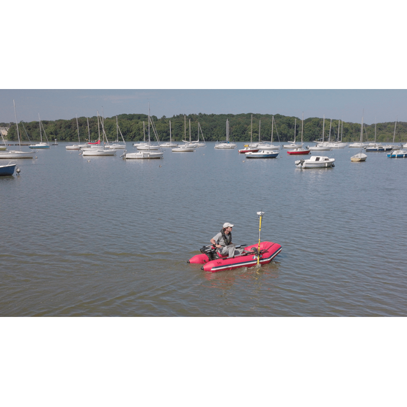
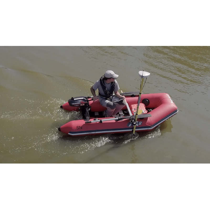
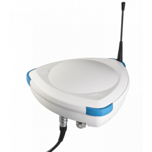
BALI is an autonomous and compact bathymetric system on a pole including all the components for bathymetric survey acquisition (GNSS, echosounder, battery). Bathymetric survey for any operator, even with no experience. No training needed, BALI is very easy to set-up and use. Results can be processed in QPS, HYPACK, SURFER, etc. A connection is possible to an external device via Ethernet or Wifi.

CADDEN
Nantes, FR
Description
BALI is an autonomous and compact bathymetric system on a pole including the necessary components for bathymetric survey acquisition (GNSS, echosounder, battery).
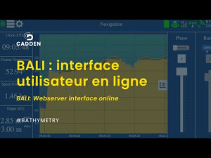
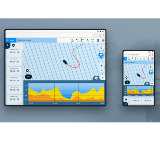
- Easy to use: can be used with any smartphone, tablet or PC with Wi-Fi. No need for an external computer with its integrated web server
- Can be combined with bathymetric softwares (ex: Hypack, QINSY, etc.)
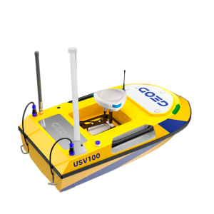
- Compatible with USV marine drones : BALI USV100/USV200
Do you have questions about this product?
- Questions about price, availability, and/or retailers
- Questions about technical specifications and usage
- Questions about suitability for your project or application
Specifications
-
General
-
Year of initial development
2009
Weight in air [kg]
2
Height [m]
2
Product Brochure 2
/upload/276-2113-8405.pdf
Width [m]
0.1
Length [m]
0.1
-
System integration
-
Remote operation capability
Y
Marking of events and other annotations
Y
Real-time sound velocity and temperature profile inclusion
Y
Real-time coupling to survey/post-processing software
Y
Data displayed in real time
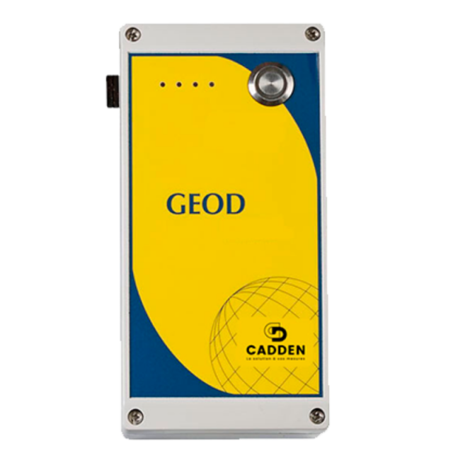
2 possibilities to control the survey in real time (position, depth, temperature, navigation):- via BALI webserver through Wifi connection,- via an external bathymetric software (QINSy, Hypack...)
Supported external data inputs
-
Mode of operation
-
Software platform
Tablet PC, Windows Mobile, Windows Vista, Windows XP, Other
Min. depth of operation [m]
0.5
Max. depth of operation [m]
200
Min. frequency [kHz]
30
Max. frequency [kHz]
200
Number of simultaneous frequencies
2
Min. beam angle [deg]
9
Max. beam angle [deg]
26
Depth resolution [m]
0.01
Depth-dependent uncertainty [%]
0.2
Max. sounding rate [Hz]
5
Accuracy
Centimeter level accuracy
Display Unit
Any smartphone, tablet or PC Wifi compatible
Software
Internal webserver, compatible with QINSy, Hypack, Eiva...
-
Performance
-
Transducer range
200m
-
Other specifications
-
Internal data logging details
HDD
Main use of the system
bathymetric survey for any operator, even with no experience. No training needed, BALI is very easy to set-up and use. Results can be processed in QPS, HYPACK, SURFER...Connection to external device via Ethernet or Wifi.
-
Output
-
Data output options
NMEA0183 : GGA, ZDA, DPT and MTW
Data output formats
CSV, KML
Data output for sea floor classification
N
Data display details
2 possibilities to control the survey in real time (position, depth, temperature, navigation) :- via BALI webserver through Wifi connection- via an external bathymetric software (QINSy, Hypack...)
Connectors
Bluetooth, LAN
-
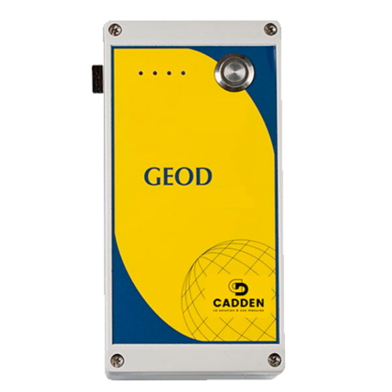
Logging unit
-
Weight [kg]
3
Width [m]
0.2
Length [m]
0.4
Height [m]
0.2
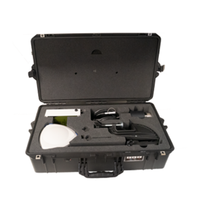
Portability
Portable
