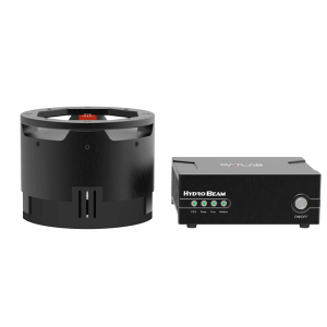
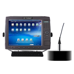
Description
Specifications
-
General
-
Year of initial development
2002
Max. power consumption [W]
30
Min. external DC power [V]
10
Max. external DC power [V]
28
Min. external AC power [V]
110
Max. external AC power [V]
230
Weight in air [kg]
15
Width [m]
0.48
Length [m]
0.362
Height [m]
0.18
-
System integration
-
Remote operation capability
N
Supported external data inputs
heave, position
Marking of events and other annotations
Y
Real-time sound velocity and temperature profile inclusion
Y
Real-time coupling to survey/post-processing software
Y
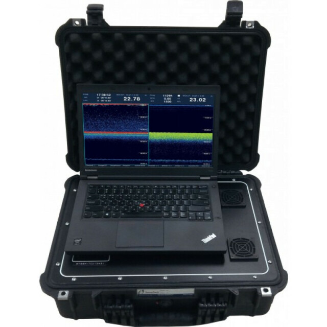
Data displayed in real time
Digital depth and bottom layer
-
Mode of operation
-
Software platform
Other
Min. depth of operation [m]
0.5
Max. depth of operation [m]
600
Min. frequency [kHz]
12
Max. frequency [kHz]
300
Number of simultaneous frequencies
3
Min. power output [W]
400
Min. beam angle [deg]
9
Max. beam angle [deg]
18
Depth resolution [m]
0.1
Depth-dependent uncertainty [%]
0.1
Max. sounding rate [Hz]
20
Min. pulse length [ms]
1400
Max. pulse length [ms]
1600
-
Other specifications
-
Internal data logging details
HDD, Thermal paper
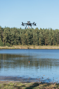
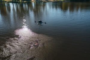
Main use of the system
Hydrographic survey
-
Output
-
Data output options
Correction, serial
Data output formats
NMEA0183, ATLAS DESO25, ECHOTRAC, Knudsen320M
Connectors
LAN
-
Logging unit
-
Weight [kg]
15
Width [m]
0.48
Length [m]
0.362
Height [m]
0.18
Portability
Portable
More in Singlebeam Echosounders - SBES


