
GNSS PPK
GNSS PPK solution to achieve centimeter accuracy with No Ground Control Points.
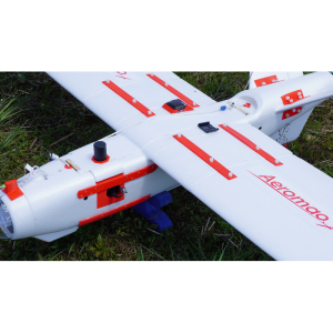
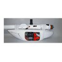
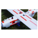
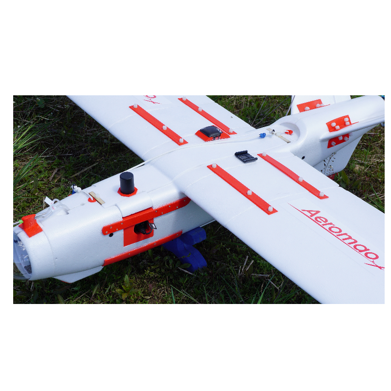
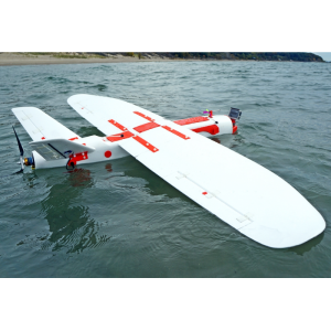
The Aeromao GNSS PPK (Post Processing Kinematic) system is available as an optional upgrade to the Aeromapper line of sUAS as well as a stand alone solution for existing drones of another make. It is a complete turnkey solution that allows you to achieve up to 3cm accuracy with No Ground Control Points, saving lots of time, money and improving the .

Aeromao Inc.
Mississauga, CA
Description
The GNSS PPK (Post Processing Kinematic) system is available as an optional upgrade and it is a complete turnkey solution that allows you to achieve up to 3cm accuracy with No Ground Control Points, saving lots of time and money.
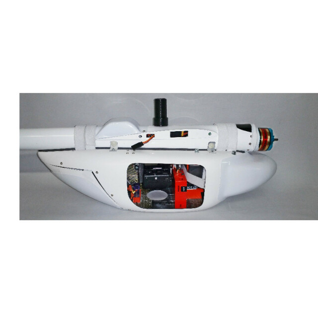
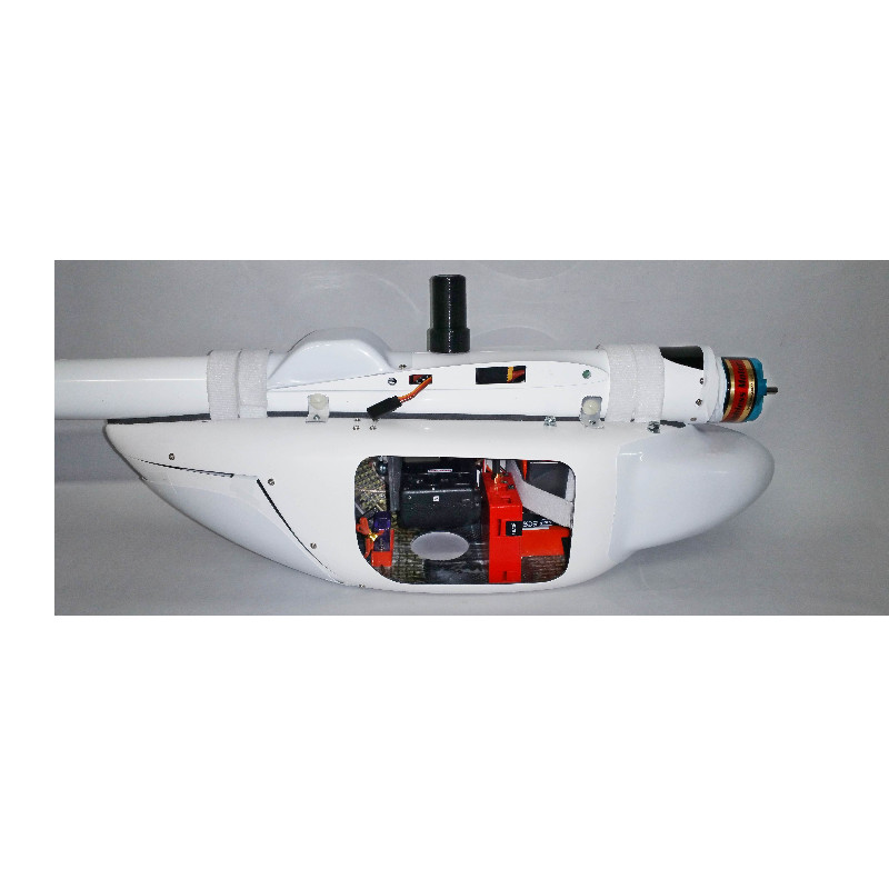
The upgrade package consists of a geodetic grade 20Hz Dual Frequency L1/L2 GNSS receiver for post-processed kinematic correction of the UAV trajectory. The system also includes a comprehensive ad step by step User Manual, GPS post-processing software and full support. The system provides very high precision camera positioning every time an image is captured.
Do you have questions about this product?
- Questions about price, availability, and/or retailers
- Questions about technical specifications and usage
- Questions about suitability for your project or application
Specifications
-
More information
-
Distinguishable features
Simple operation: no wireless links required between base station and GNSS receiver.
-
Performance
-
Tracked satellite signals
L1/L2 GPS. GLONASS upon request.
-
General
-
Product Name
High Accuracy GNSS PPK Solution
Product Description
Geodetic grade 20Hz Dual Frequency L1/L2 GNSS receiver for post-processed kinematic correction of the UAV trajectory. The system is delivered ready to use with the UAV and includes a comprehensive step by step User Manual and GPS post-processing software. It provides very high precision camera positioning every time an image is captured, delivering your data sets ready for Pix4DMapper, Agisoft Photoscan or your image processing software of choice.
Type
Height [m]
0.0255
Depth [m]
0.08
Width [m]
0.067
Total Weight[kg]
0.12
-
Communication: Protocols
-
L-Band Compatible
Yes
Configuration method
Plug and Play approach: system requires no setup and is ready to use.
-
PPK
-
Event Mark Input
Yes
Datasets Exportable to:
Pix4DMapper, Agisoft Photoscan or your image processing software of choice.
Compatible UASs
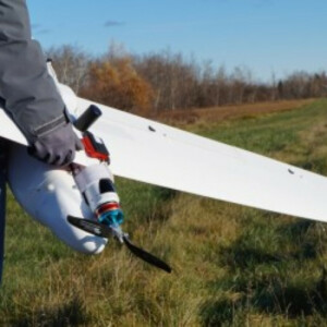
Any fixed wing or multirotor UAS with more than 120 grams of lifting capacity
Post Processing Kinematic Accuracy
up to 3cm accuracy with No Ground Control Points
