
RIEGL Intergeo (Digital) Event: UAV-Based Bathymetry Mapping
Tue, Sep 21, 2021 at 3:20 PM (UTC)
1 hour
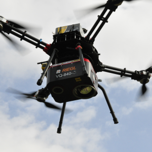
At a particular wavelength LiDAR penetrates water enabling surveying of underwater topography. The visible green laser beam emitted out of RIEGL’s VQ-840-G allows to perform bathymetry up to 2.5 Secchi Depths.
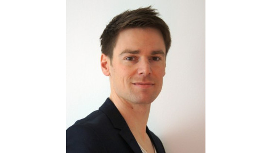
Presentation: HERR DI BSC DAVID MONETTI
Skyability GmbH, CEO
15.20 - 15.40 | UAV-Based Bathymetry Mapping
At a particular wavelength LiDAR penetrates water enabling surveying of underwater topography. The visible green laser beam emitted out of RIEGL’s VQ-840-G allows to perform bathymetry up to 2.5 Secchi Depths. At Skyability GmbH we are operating LiDAR-Systems with focus on UAV-Platforms. We will outline why the flexibility combined with the operating parameters of a drone is best suited for bathymetric surveying.
RIEGL @ INTERGEO 2021 LIVE+DIGITAL
GET YOUR FREE 3-DAY-EXPO HYBRID-TICKET AT [email protected]
Ask a question
RIEGL | Innovation in 3D team is happy to assist.

By completing this form, you acknowledge and agree to abide by our Terms and Conditions, Privacy Policy and Cookie Policy.
Thank you for your message! Our team tipically to respond to inquiries within 1-2 business days.
Type something to search