
Description
Specifications
-
Application
-
Main users
Photogrammetric Production/GIS Shops, UAV Consultants, Agricultural Consultants, UAV users
Main applications
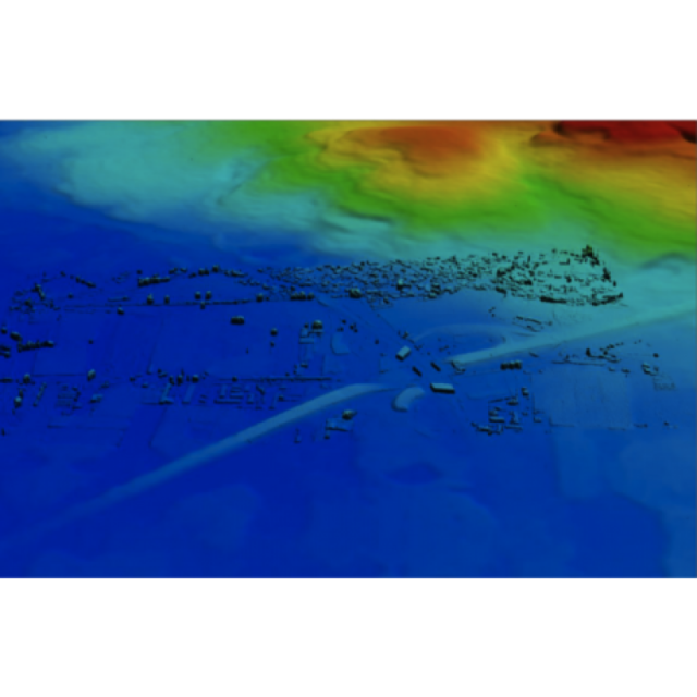
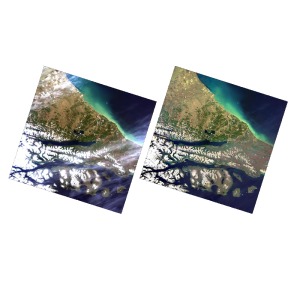
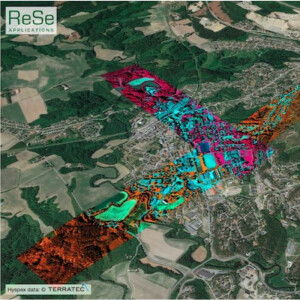
Orthoproduction, aerial mapping, DEM generation, 3D point cloud generation, UAV image production/processing
Distinguishable features
Large-scale/area solution, Complete photogrammetric workflow, scalable pricing, 3D/oblique solutions, Mosaic color-balancing and feathering
-
General
-
Year of introduction
2008
Year of last update
2014
Supported hardware
GPU
User definable operations and extensions
Esri Arcmap
Other input data supported
All
-
Object-based classification
-
Line extraction
N
Region growing segmentation
N
Multiresolution image segmentation
N
Multiscale approach
Y
Generalisation
N
-
Editing
-
Manual removal and addition of points; lines; polygons
Y
Addition of text and symbols
Y
Overlay with map data
Y
-
Classification in general
-
Max. number of bands
4
Ancillary data integration
N
Sub-pixel classification
N
Training sample selection
N
Accuracy assessment
Y
-
Radiometric and image processing
-
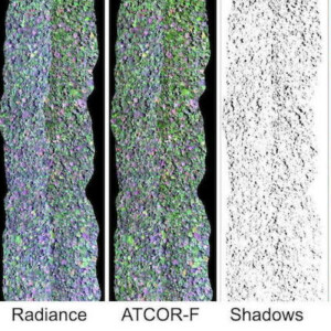
Radiometric corrections
Y
Spatial convolutions
Y
Image transforms
N
Morphological operations
N
Filtering of radar imagery
N
-
Pixel-based classification
-
Unsupervised classification
N
Supervised classification
N
Vegetation index
N
Principal component analysis
N
-
Geometric processing
-
Correction models
Y
Transformations
N
Cartographic projections
N
Ortho-image generation using DEM
Y
Resampling
Y
Geometric accuracy assessment
Y

