Description
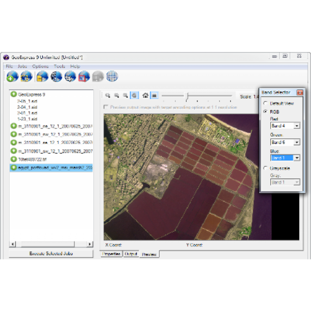
LizardTech’s GeoExpress software compresses massive geospatial images and LiDAR data into high-quality MrSID files that can be opened and viewed immediately. Your 100MB image file becomes a 5MB file with the same high resolution quality. And, the MrSID file type is supported in all geospatial platforms, so there’s no need to spend money on additional formatting software or constant updates.
Specifications
-
Application
-
Main users
DoD, Aerial data providers, Government agencies, Oil and Gas, Utilities providers, Mining
Main applications
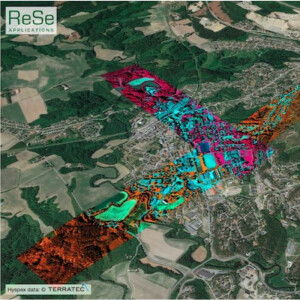
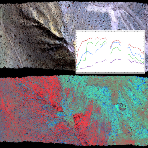
Geospatial image and LiDAR compression; mosaicking; reprojection; cropping; color balancing
Distinguishable features
Reduces storage costs by compressing images to a fraction of their original size with the MrSID or JPEG 2000 formats.
-
General
-
Year of introduction
1999
Year of last update
2017
Supported hardware
Desktop, Laptop, Server
User definable operations and extensions
SDK, Command Line
Other input data supported
Raster, Multispectral, Hyperspectral
-
Object-based classification
-
Line extraction
N
Region growing segmentation
N
Multiresolution image segmentation
N
Multiscale approach
N
Generalisation
N
-
Editing
-
Manual removal and addition of points; lines; polygons
N
Addition of text and symbols
N
Overlay with map data
N
-
Classification in general
-
Max. number of bands
255
Ancillary data integration
N
Sub-pixel classification
N
Training sample selection
N
Accuracy assessment
N
-
Radiometric and image processing
-
Radiometric corrections
N
Spatial convolutions
N
Image transforms
Y
Morphological operations
N
Filtering of radar imagery
N
-
Pixel-based classification
-
Unsupervised classification
N
Supervised classification
N
Vegetation index
N
Principal component analysis
N
-
Geometric processing
-
Correction models
Y
Transformations
Y
Cartographic projections
Y
Ortho-image generation using DEM
N
Resampling
Y
Geometric accuracy assessment
N
Videos
