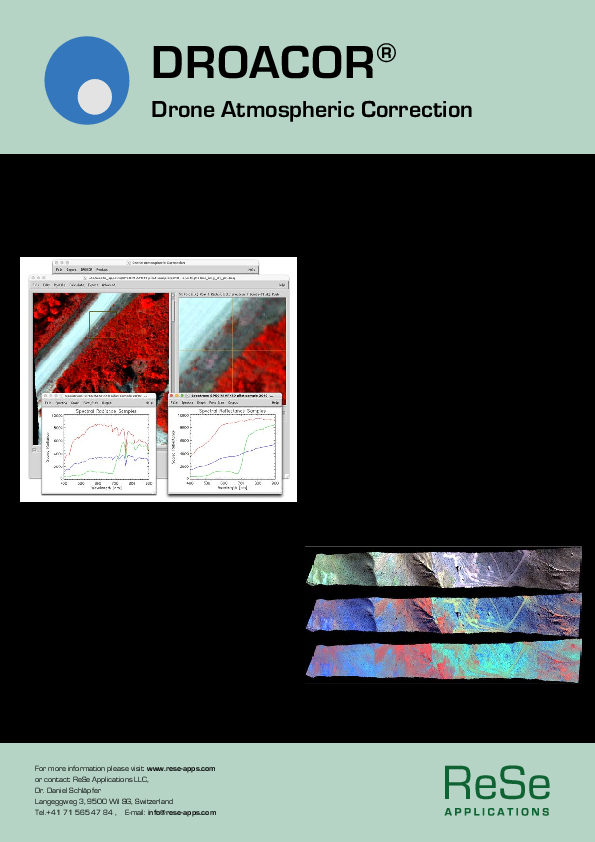
DROACOR
Reflectance Retrieval and Atmospheric Correction for Drone and Airborne Imagery
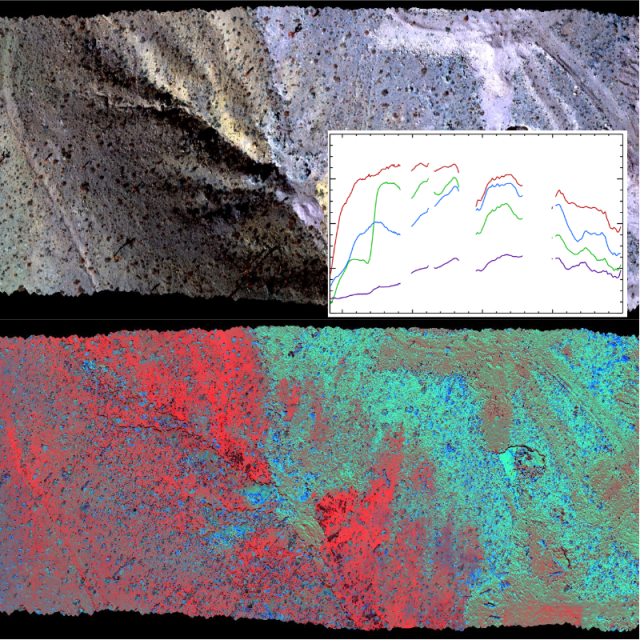
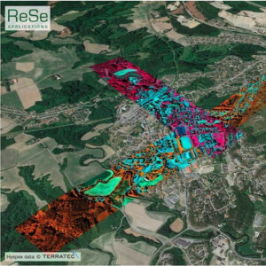
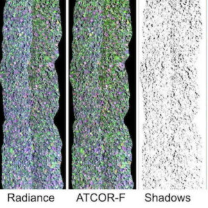
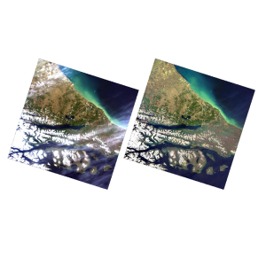
Our new generation physical approach of atmospheric correction software provides a practical solution for automated reflectance retrieval from multispectral and hyperspectral drone data. It improves the analysis of the series of images since ground brightness variations caused by varying illumination conditions and atmospheric influences can be compensated.

ReSe Applications LLC
Wil, CH
Description
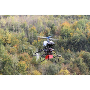
The DROACOR® software has been built specifically for operational processing of large volumes of drone data which includes fully automatic operation in a batch or cloud computing environment. This software leads to higher consistency for large scale UAV data processing without the need of frequent deployment of reference panels in the field.
The software offers these key advantages:
- fully automatic atmospheric compensation and reflectance retrieval software
- built from the ground for processing of imaging spectroscopy and multispectral data sets
- native support for most common UAV sensor systems
- operational directory based multi-file processing
- suited for non-expert use by automatic sensor-specific configuration
Do you have questions about this product?
- Questions about price, availability, and/or retailers
- Questions about technical specifications and usage
- Questions about suitability for your project or application
Specifications
-
Application
-
Main users
Data provider and surveyors.
Main applications
Large scale data acquisition.
Distinguishable features
Reproducible, physical reflectance retrieval.
-
General
-
Year of introduction
2021
Year of last update
2022
Supported hardware
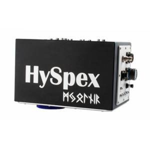
Windows, Linux, MacOSX - Sensors: Specim AISA, Itres Casi, NEO Hyspex and Mjolnir, Resonon PIka, Headwall Nano, Corning Shark, DB2 Laquinta, Micasense Rededge.
User definable operations and extensions
Batch processing scripting.
Other input data supported
Digital Terrain Data (DSM/DTM), TIFF, Multiband Tiff,G eneric ENVI file formats.
-
Classification in general
-
Sub-pixel classification
Spectral Unmixing, Vegetation Indexes.
-
Radiometric and image processing
-
Radiometric corrections
Atmospheric correction and reflectance retrieval, topographic illumination correction, cloud shading correction, BRDF correction.
Image transforms
Y
-
Pixel-based classification
-
Unsupervised classification
N
Supervised classification
N
Vegetation index
Y
Principal component analysis
N
-
Geometric processing
-
Resampling
Y
Documents
Brochure
droacor-flyer.pdf
155.11 KB
