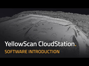

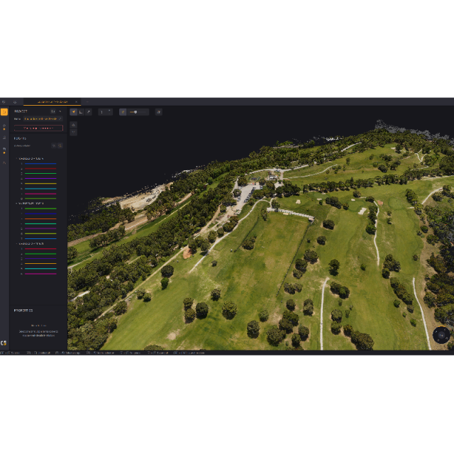


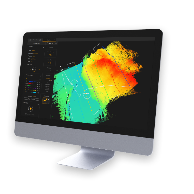
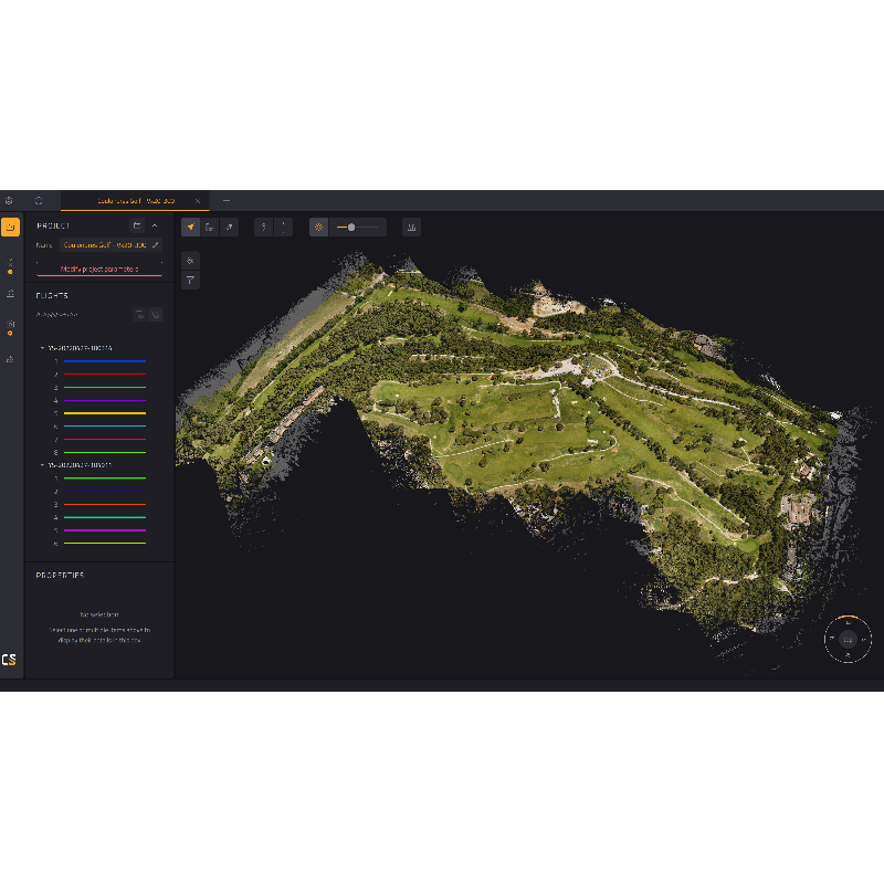
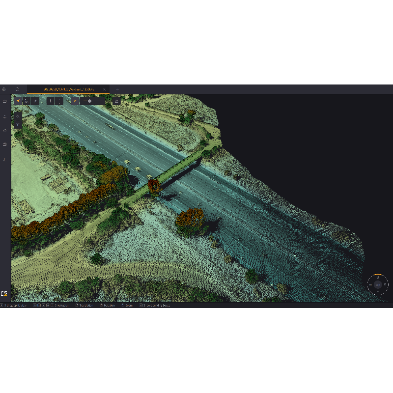
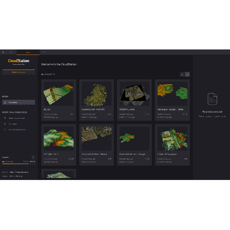
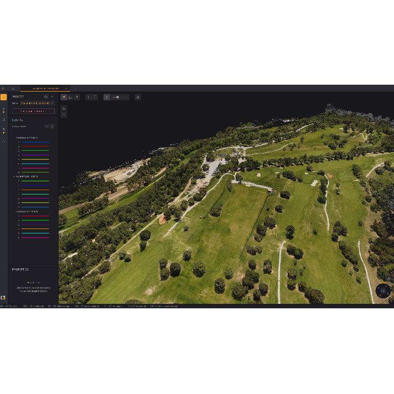
YellowScan CloudStation - Visualization and LiDAR processing software
Turn physical projects into digital realities.

YellowScan
Saint-Clément-de-Rivière, FR
Description
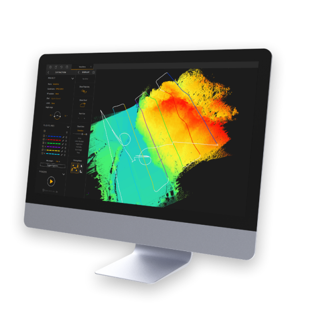
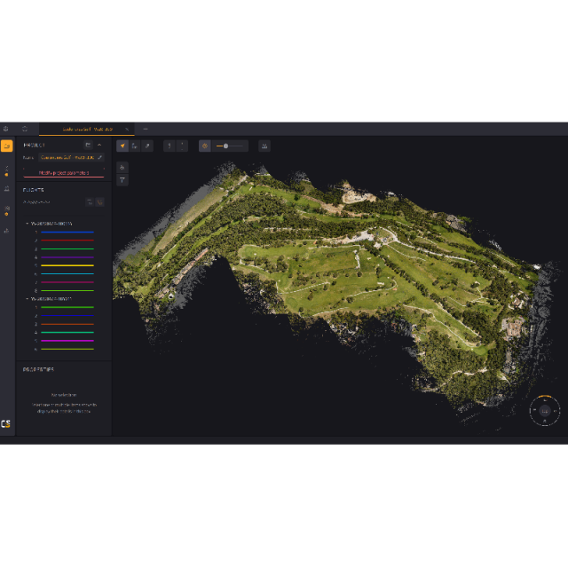
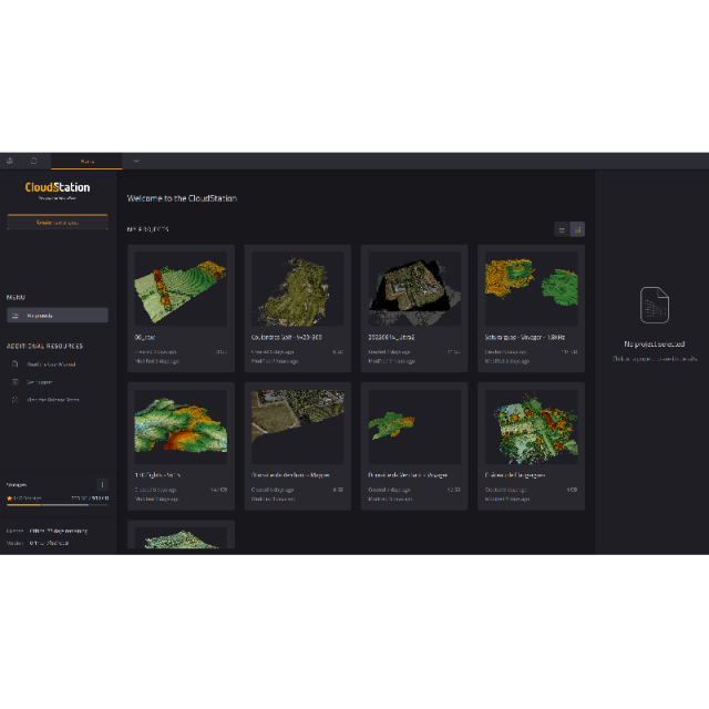
The CloudStation is an evolutive and user-friendly software, developed by YellowScan, to generate and visualize pointclouds.
Our software provides you with auto-detection of strips, in-depth configuration and LAS files exports to interface with all your tools.
Do you have questions about this product?
- Questions about price, availability, and/or retailers
- Questions about technical specifications and usage
- Questions about suitability for your project or application
Specifications
-
Hardware/software requirements
-
RAM [GB]
16
HD [GB]
1000
Use of GPU
Y
Processor
Intel or AMD 6C/12T CPU
List software environment, e.g. Microstation
CloudStation
-
Other
-
Support
1 year unlimited technical support
Training
Y
-
Files and Registering
-
Output formats
.las - .laz - .txt
-
Pre-processing and Automatic Filtering
-
Image matching facilities
Y
Removal of individual outliers
Y
Removal of vegetation
Y
Removal of buildings
Y
Bare ground DEM generation
Y
-
Manual Measurements
-
3D Coordinates extraction
Y
Length and Height
Y
Angle
N
Distance
Y
Area
N
Volume
N
-
Interoperability
-
Assigning colour from imagery to points
Y
-
General
-
Source of Point Clouds
Airborne Lidar
Year of initial introduction
2019
Year of last update
2023
Modules
Strip Adjustment, Terrain, Colorization and Export
Supported Systems
All YellowScan Systems
-
Analysis
-
Line of sight
N
Aspect and slope
N
Individual tree heights
N
Time series analysis
N
-
Automatically Generated Products
-
Regular Grid DEMs
Y
Cross sections
Y
TIN
N
Contour Lines
N
Break lines
N
Boundary detection of solids
N
Building footprints
N
Building roofs
N
-
Visualisation and Editing
-
Zoom, pan and rotate
Y
Fly-throughs
Y
Adding Points
N
Removing Points
N
Point Reduction
Y
Documents
Brochure
yellowscan-vx-dl-datasheet.pdf
699.27 KB
Videos

