Description
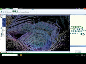
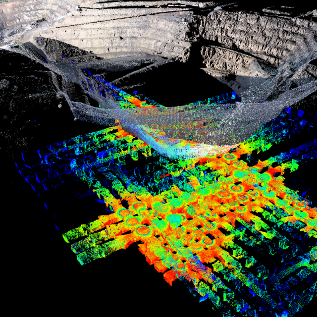
PointStudio software is an intuitive point cloud processing and modelling package for mining, civil, geological and surveying applications.
Specifications
-
Hardware/software requirements
-
RAM [GB]
16
HD [GB]
1000
Use of GPU
N
Processor
["64-bit"]
Stereo Display
N
Stand-alone
Yes
-
Other
-
Support
Phone, In-person, online
Training
Y
Typical applications
Mining survey, geological analysis, quarry, forensics, geotechnical analysis
-
Files and Registering
-
Input formats
LAS, DXF, E57 + many more
Output formats
LAS, DXF, E57 + many more
Geo-referencing
Y
Automatic Target Detection
Y
Stitching multiple scans
Y
-
Pre-processing and Automatic Filtering
-
Image matching facilities
Y
Removal of individual outliers
Y
Removal of vegetation
Y
Removal of buildings
Y
Bare ground DEM generation
Y
-
Manual Measurements
-
3D Coordinates extraction
Y
Length and Height
Y
Angle
Y
Distance
Y
Area
Y
Volume
Y
-
Interoperability
-
CAD software
AutoCAD
Hydrological software
No
Assigning colour from imagery to points
Y
Image overlay on TIN
Y
-
General
-
Year of last update
2018
Modules
Geotechnical; Geological; Resource Recovery; Underground Reporting; Conformance Reporting
Source of Point Clouds
Airborne Lidar, Indoor TLS, Outdoor TLS, Photogrammetric, Radar
-
Analysis
-
Line of sight
Y
Aspect and slope
Y
Individual tree heights
Y
Time series analysis
Y
-
Automatically Generated Products
-
Cross sections
Y
Contour Lines
Y
Break lines
Y
Boundary detection of solids
Y
Building footprints
Y
-
Solid Modelling
-
Lines
Y
Earth surface features
Yes, terrain
Planes
Y
-
Visualisation and Editing
-
Zoom, pan and rotate
Y
Fly-throughs
Y
Adding Points
Y
Removing Points
Y
Point Reduction
Y
Videos


