
NUBIGON Pro
The go-to solution to easily produce point cloud flythroughs
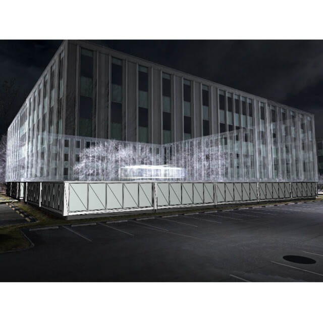
NUBIGON Pro is a point cloud visualization and animation software that helps reality capture firms to communicate their services quickly and effectively.
NUBIGON
New York, US
Description
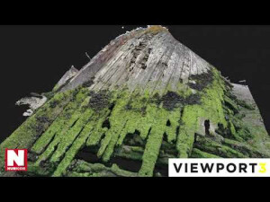
NUBIGON is a standalone software solution for reality capture professionals to visualize point clouds with distinct performance and quality, efficiently engage with massive datasets, easily combine them with other CAD/BIM deliverables, and effectively showcase them with eye-catching point cloud flythroughs.
Visit our website to learn more about NUBIGON's features, explore our licensing and free training offers starting at 75 USD/month, and download a free two-week trial. For a personalized introduction, just drop us an email at [email protected]! Looking forward to hearing from you!
Specifications
-
Hardware/software requirements
-
RAM [GB]
4
HD [GB]
1
Use of GPU
Y
Processor
["64-bit"]
Stereo Display
N
Stand-alone
Yes
-
Other
-
Support
Email
Training
Y
Distinguishing features
NUBIGON is a reality capture software. It visualizes LiDAR and photogrammetric point clouds in real time and in full HD without reducing model precision.
-
Files and Registering
-
Input formats
XYZ LAS TXT OBJ DXF PTS E57
Output formats
LAS XYZ OBJ DXF TIFF JPG BMP
Geo-referencing
Y
Automatic Target Detection
N
Stitching multiple scans
N
-
Pre-processing and Automatic Filtering
-
Image matching facilities
N
Removal of individual outliers
N
Removal of vegetation
N
Removal of buildings
N
Bare ground DEM generation
N
-
Manual Measurements
-
3D Coordinates extraction
Y
Length and Height
Y
Angle
Y
Distance
Y
Area
N
Volume
N
-
Interoperability
-
CAD software
DXF
Assigning colour from imagery to points
N
Image overlay on TIN
N
Integration with other data types
DXF
-
General
-
Year of last update
2021
Year of initial introduction
2019
Source of Point Clouds
Airborne Lidar, Indoor TLS, Outdoor TLS, Photogrammetric, Radar
-
Analysis
-
Line of sight
N
Aspect and slope
N
Individual tree heights
N
Time series analysis
N
-
Automatically Generated Products
-
Regular Grid DEMs
N
Cross sections
Y
TIN
N
Contour Lines
N
Break lines
N
Boundary detection of solids
N
Building footprints
N
Building roofs
N
-
Solid Modelling
-
Lines
Y
Planes
Y
Cubes
N
Spheres
N
Cylinders
N
NURBS
N
-
Visualisation and Editing
-
Zoom, pan and rotate
Y
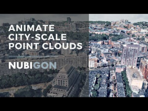
Fly-throughs
Y
Adding Points
N
Removing Points
Y
Point Reduction
Y


