
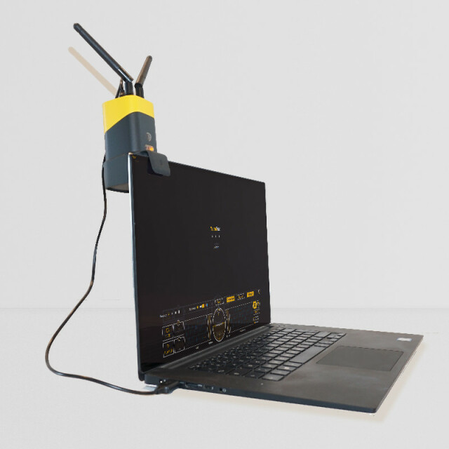


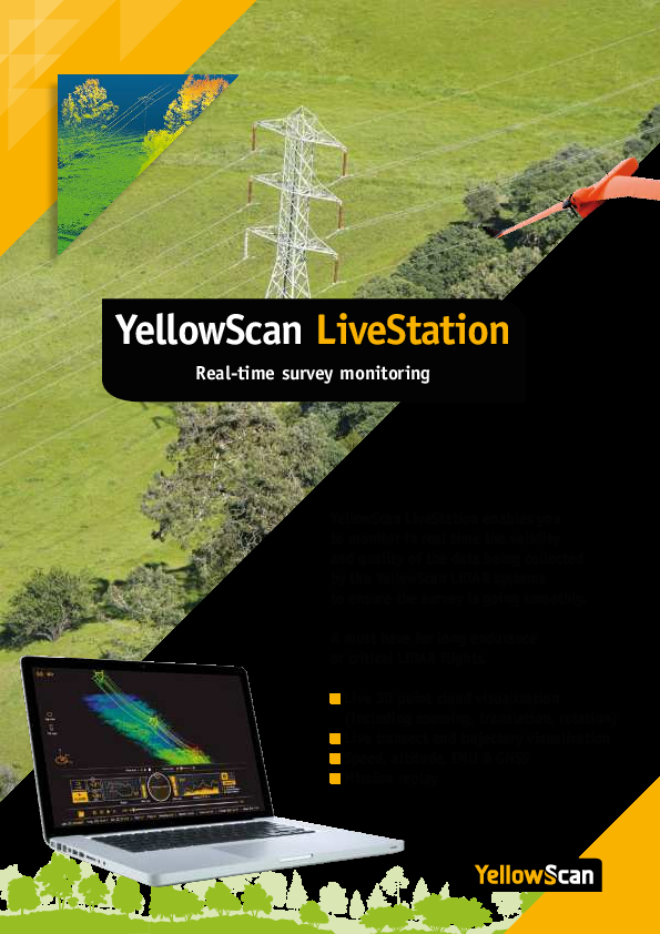
LiveStation - Live monitoring software for UAV and Mobile LiDAR data acquisition
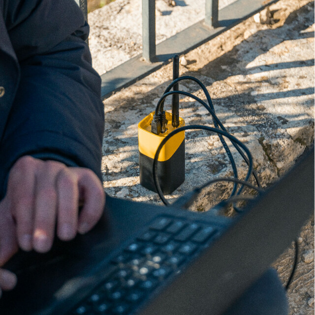
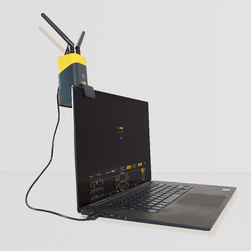
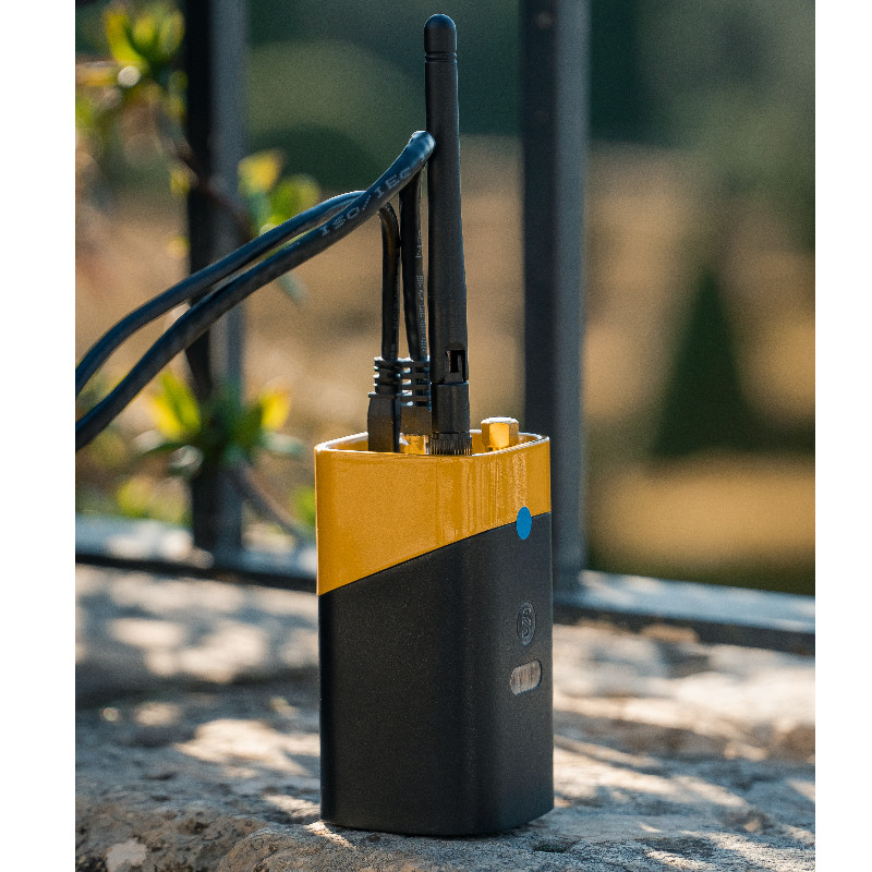
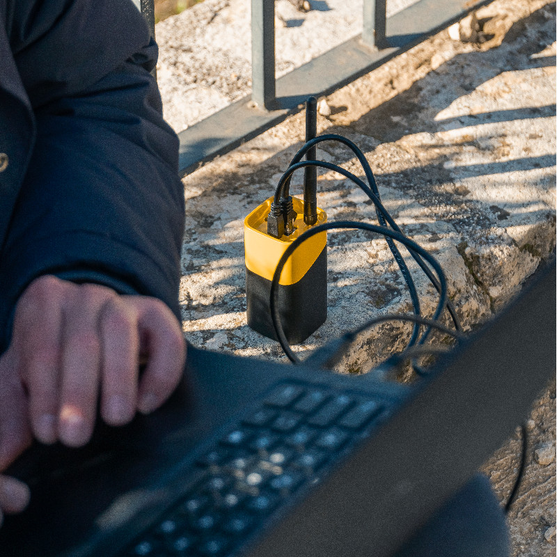
Real-time in-flight LiDAR station.

YellowScan
Saint-Clément-de-Rivière, FR
Description
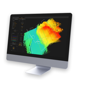
LiDAR solution - YellowScan LiveStation - in flight real-time LiDAR pointclouds
A must for long endurance or critical LiDAR flights
- Live 3D point cloud visualization (including zooming, translation, rotation)
- Live transect and trajectory visualization
- Speed, altitude, IMU & GNSS
- Mission replay
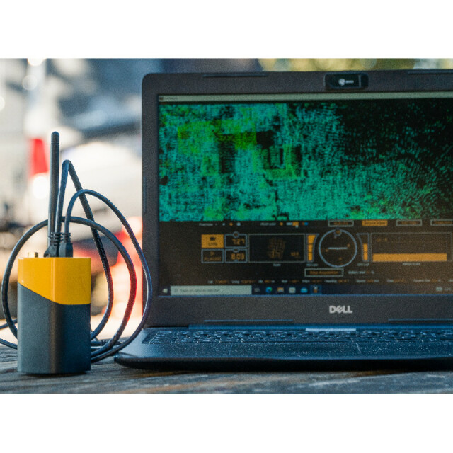
Live visualization during flight and mission replay
- Point cloud (Top or 3D view)
- Flight trajectory
- Transect (LiDAR position, first and last echoes)
Navigation controls & status
- IMU & GNSS
- Speed
- Altitude
- Elapsed time
- Radio signal
Do you have questions about this product?
- Questions about price, availability, and/or retailers
- Questions about technical specifications and usage
- Questions about suitability for your project or application
Specifications
-
Hardware/software requirements
-
Processor
[]
Use of GPU
N
Stereo Display
N
Stand-alone
Yes
-
Other
-
Support
1 year unlimited technical support
Training
Y
-
Files and Registering
-
Output formats
None
Max. file size (#3D points)
0
Geo-referencing
N
Automatic Target Detection
N
Stitching multiple scans
N
-
Pre-processing and Automatic Filtering
-
Image matching facilities
N
Removal of vegetation
N
Removal of buildings
N
Bare ground DEM generation
N
-
Manual Measurements
-
3D Coordinates extraction
N
Length and Height
N
Angle
N
Distance
N
Area
N
Volume
N
-
Interoperability
-
Assigning colour from imagery to points
N
Image overlay on TIN
N
-
General
-
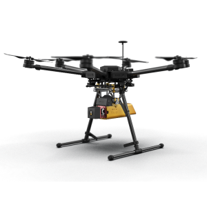
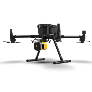
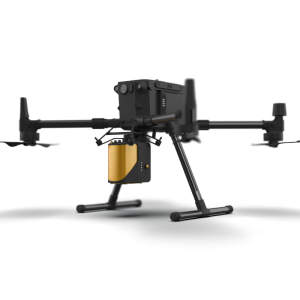
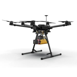
Source of Point Clouds
Airborne Lidar
Year of initial introduction
2017
Year of last update
2019
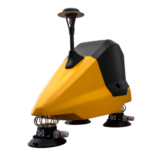
Supported Systems
All YellowScan Systems
-
Analysis
-
Line of sight
N
Aspect and slope
N
Individual tree heights
N
Time series analysis
N
-
Automatically Generated Products
-
Regular Grid DEMs
N
Cross sections
N
TIN
N
Contour Lines
N
Break lines
N
Boundary detection of solids
N
Building footprints
N
Building roofs
N
-
Solid Modelling
-
Lines
N
Planes
N
Cubes
N
Spheres
N
Cylinders
N
NURBS
N
-
Visualisation and Editing
-
Zoom, pan and rotate
Y
Fly-throughs
N
Adding Points
N
Removing Points
N
Point Reduction
N
Documents
Brochure
yellowscan-livestation-1-2.pdf
1.64 MB
Videos

