


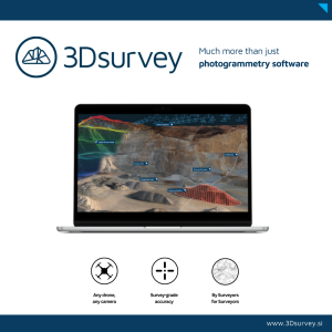
3Dsurvey Software
Process and classify any data source for any environment.
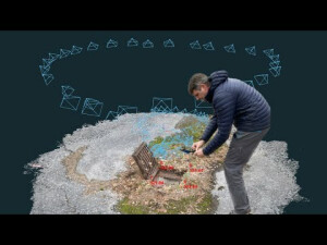
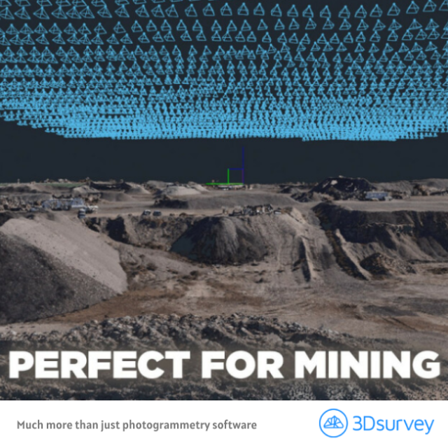
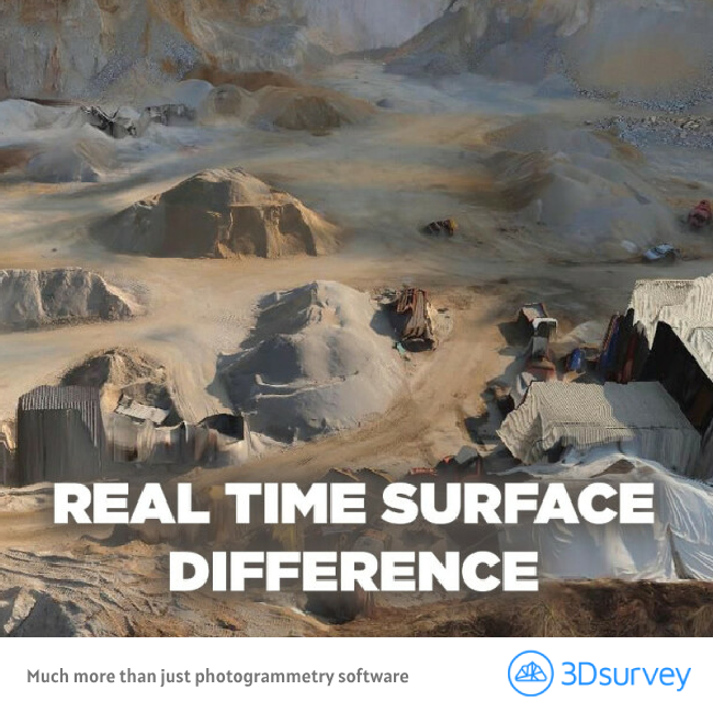
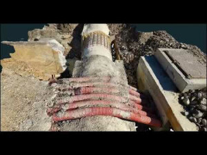
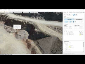
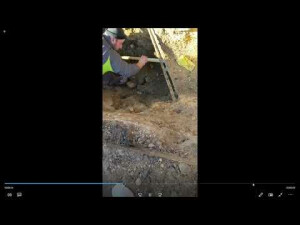
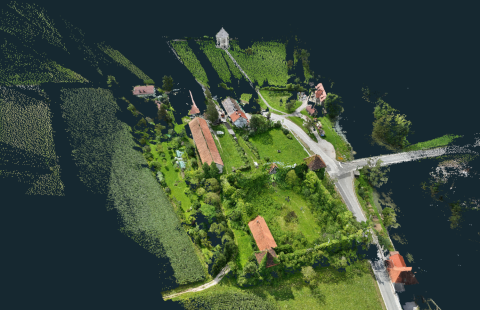
Our all-in-one photogrammetry tool gives you everything you need to know about a site, whether it’s a brownfield site, a new building, a quarry, a mine or a natural disaster. It gives you this information in digital maps, 3D models and interactive measurements that you can easily explore.

3Dsurvey
Ljubljana, SI
Description
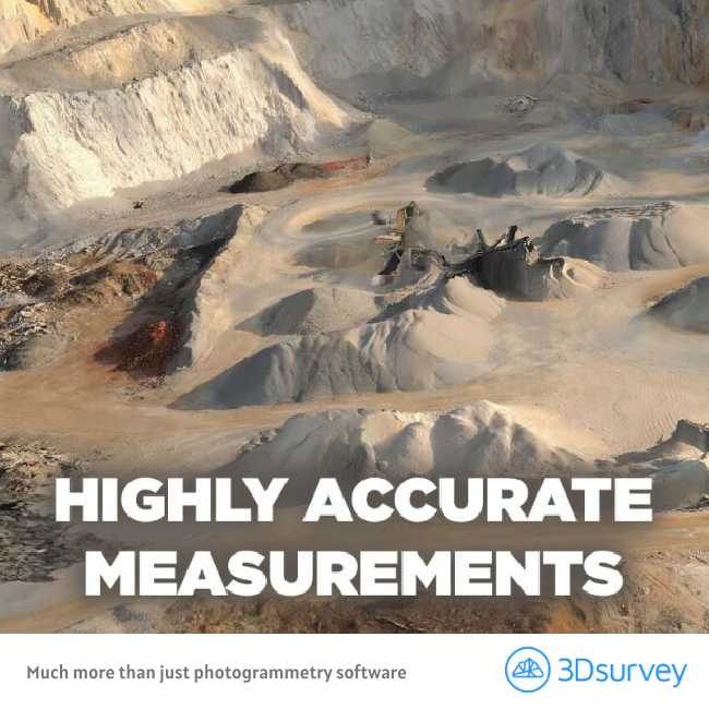
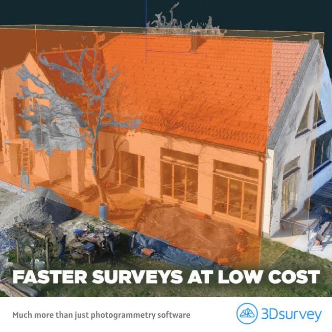
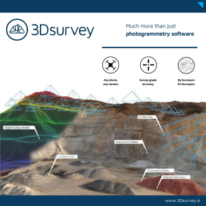
Armed with cm-grade precision digital maps and 3D models, professionals in industries spanning surveying, mining, construction, quarrying and natural disaster management can make more informed plans and responses. Created by experienced surveyors, our reliable and intuitive tools help businesses worldwide reduce time spent on site, improve planning accuracy and boost revenue. Our best-in-class customer service ensures that no customer is left behind. We treat you like a real person, not just another number. With direct access to the technical team, we can quickly resolve any potential issues – so you can get back to your passion.
GIVING YOU CONTROL
If a picture tells you a thousand words, then 3D data that’s fully geo-referenced, spatially orientated and has cm-grade precision tells you millions.
Our all-in-one photogrammetry tool gives you everything you need to know about a site – whether it’s a brownfield site, a new building, a quarry, a mine or a natural disaster. It gives you this information in digital maps, 3D models and interactive measurements that you can easily explore. With 3Dsurvey, the possibilities are endless. What makes our software different from others in the market is that it does all these things consistently and with more precision. We don’t just provide information from any data source; our software turns your data into countless opportunities. From helping you discover, process and manipulate data – we give you more accuracy whilst increasing your revenue potential.
Because when there are fewer surprises, you are in control.
SAVING YOU TIME
Capture, download & process.
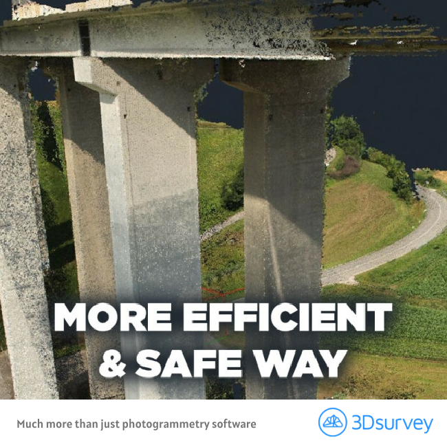
As an end-to-end solution, our software gives you the power to process data from any input – this means less manual work and more time planning and implementing. It transforms equipment into automated high-precision surveying tools. No add-ons required. No need to change your data source.
Ultimately, having this kind of accurate, real-time information readily accessible means you can cut down on-field time and manual work. Our easy to use software is the only solution on the market that mirrors industry workflows. Drawing on our first-hand surveying experience, we’ve built the tools to support how you get things done in the real world. It’s fast, intuitive and easy to use.
AND DOING IT WITH KNOW-HOW
Like you, we’re a team of specialists passionate about our craft. We get excited by the endless possibilities of our geospatial software and how new technologies can improve our solutions for you.
Before developing 3Dsurvey, most of us were in the traditional surveying field. This remains true today – we know what makes our clients’ lives easier. We’re constantly evolving our software, which means developing it to better support you on and off-site.
Like our software, we’re reliable and consistent. Our unbeatable customer support team is always on hand to help and, importantly, to listen.
CLOUD beta
3Dsurvey is thrilled to introduce the beta release of 3Dsurvey Cloud, our newest feature. As a prominent figure in photogrammetry software, 3Dsurvey remains dedicated to pushing the boundaries of innovation and revolutionizing the processing and utilization of spatial data for a broader audience. In the 2.18 version, we provide surveying experts with an exceptional new tool that is poised to revolutionize how they manage and collaborate on projects.
Effortless Data Sharing: Before 3Dsurvey Cloud, users faced the challenge of sharing large files via external providers like WeTransfer, pCloud Transfers, or Google Drive. Clients had to then download the data and install the 3Dsurvey viewer, or use alternative 3D software to import and view the data, often requiring a high-performance computer. With 3Dsurvey Cloud, users can simply upload their results and share a link via email or other platforms. Clients can instantly access and view the data without the need for additional software or powerful hardware.
Cross-Platform Compatibility: 3Dsurvey Cloud runs smoothly on various platforms, including Windows, Apple, iOS, and Android. Users can access their data from any device without worrying about system requirements.
User-Friendly Interface: Unlike the comprehensive 3Dsurvey software with over 100 functions, 3Dsurvey Cloud offers users a simplified interface with multiple project management viewing options. The Cloud Viewer for shared projects is easy to navigate, with clients able to toggle between 2D and 3D models and utilize essential CAD functions.
Do you have questions about this product?
- Questions about price, availability, and/or retailers
- Questions about technical specifications and usage
- Questions about suitability for your project or application
Specifications
-
Feature Extraction and Mapping
-
Mapping facilities
Y
Semi-automatic corner point extraction
N
Semi-automatic line feature extraction
N
Semi-automatic building extraction
N
3D superimposition
Y
Integration with scanned maps
Y
Integration with 2D vector maps
Y
Integration with 3D vector maps
Y
Integration with point clouds
Y
Automatic texturing
Yes
-
Required Computer System
-
System includes hardware
N
Operating system(s)
Windows 7, 8, 10, 11; all 64bit
CPU (min.)
Intel i5 or Ryzen 5
CPU (preferred)
Intel i7 or better and Ryzen 7 or better
Min. RAM memory [Mb]
16
Preferred RAM memory [Mb]
64
64-bit version of software available
Y
Distributed processing capacity
N
GPU based calculations
Y
Min. data storage capacity [Gb]
10
Preferred data storage capacity [Gb]
50
Min. graphic card
nVidia GTX 1050 or better
Hardware handling of big data sets
nVidia RTX 3060 or better -> multiple cards is even faster
Supported special hardware
No
User definable operations and extensions
Script engine support
Cloud processing
Yes, from 2.17 onwoards.
-
Images and data
-
Source data
UAV, hand-held camera, mobile phone camera, LIDAR, GNSS, Total Station, video
Input image formats
jpg (jpg, jpe), png, tiff, video (mp4, mov, avi)
Export data formats
Orthophoto (jpg, tiff, png, pdf) / Point Cloud (ply, laz, las, zlas, koo, txt, xyz, dsv, pts, cl3, e57) / Mesh (ply, dxf, txt, koo, xyz, stl, obj, dae, xml) / Digital Surface Model (tiff, ply, dxf, txt, koo, xyz, stl, obj, dae, xml) / CAD Data (dfx, xml, kml, shp, txt, koo) / Reports (pdf, doc) / Contour lines (dxf, pdf) / Crossection lines (dxf, pdf, que, lng) / Annotations (dxf)
Scanned analogue Aerial Photos
Y
Digital Aerial Nadir Frames
Y
Oblique Images
Y
Linear array sensors
Y
Optical Satellite Images
N
UAS Images
N
Radar Images
N
Mission planning
Yes as separate free mobile app
-
DEMs & Orthoimages
-
Automatic matching
Y
Automatic breakline extraction
Y
Checking facilities (DEM editing)
Y
Automatic contour generation
Y
Mosaicing of orthoimages
Y
True orthoimage generation
Y
Dense DSM creating capability
Y
DSM to DTM filtering
Y
Automatic seam line creation
Y
Dense Image Matching
Y
Georeferencing / method of georeferencing
Geotif, world file, DXF frame
Other presentation options
Height map, X-ray, Drape orthophoto, Shading
-
Viewing System
-
Resolution
1024 x 768 - 3840 x 2160
Method of stereo image separation
None
Min. display memory [Mb]
2000
Pref. display memory [Mb]
8000
-
General
-
Year of introduction
2011
Year of last update
2022
Modular
This All-in-one solution. All functions reside in on single appication.
Regional settings available
Yes, available in 18 languages
License configuration
Desktop license, commercial options: perpetual or subscription.
-
Orientation and triangulation
-
Automatic interior
Y
Relative
Y
Automatic aerotriangulation
Y
Automated blunder detection
Y
Self calibration
Y
images simultaneously processed
Y
Automatic Relative
Y
Batch processing
Yes
Scripting language
No
-
Measurement tools
-
Length
Y
Area
Y
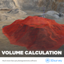
Volume
Y
lengte / area / volume
Y
Stereoscopic measurements
N
Vegetation index calculation
N
Automatic classification
Y
-
Image manipulation & processing
-
Automatic contrast manipulations
Y
Spatial convolution
Y
Resampling
Y
Radiometric adjustment for mosaicing
Y
Radiometric corrections
Y
-
More information
-
Main applications
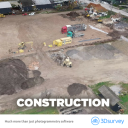
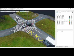
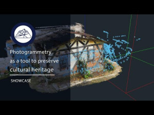
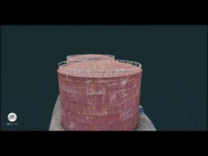
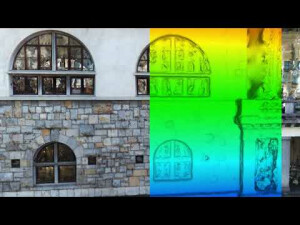
Survey maps, Orthophoto, Volume calculation, 3D surfaces, Point cloud & interactive 3D measurements, automatic clasification, cross sections, contour lines, CAD tools, Textured 3D mesh, Forensic report, Police reports, Civil Engineering, Architecture, Coltural Heritage
Distinguishable features
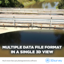
Simple to use, any drone any camera, compatible with third party sources, Free cloud viewer, Free desktop viewer, "From Surveyors for Surveyors", single module, Geoid support, Drawing on images, X-ray, Profile calculation, Videogrammetry, Multiple pointclouds and surfaces in one project, Volume between two surfaces
Documents
Brochure
TARGET Brochure-3Dsurvey.pdf
2.37 MB


