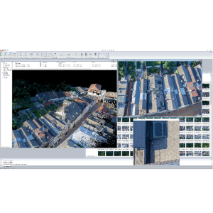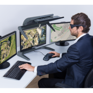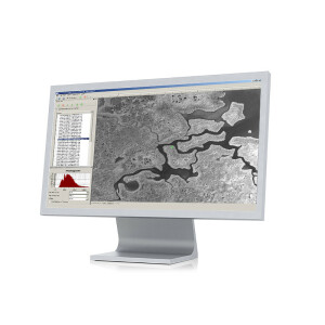
Description
Specifications
-
Required Computer System
-
System includes hardware
N
Operating system(s)
Windows
CPU (preferred)
Intel Core i7 or comparable Intel Xeon CPU
Min. RAM memory [Mb]
16
Preferred RAM memory [Mb]
32
Preferred data storage capacity [Gb]
1000
Min. graphic card
Nvidia Graphics Card (CUDA capable)
64-bit version of software available
Y
Distributed processing capacity
Y
GPU based calculations
Y
Hardware handling of big data sets
Model GTX680
-
Images and data
-
Source data
Nadir and Oblique Imagery, Large and Medium Format cameras, UAV imagery
Input image formats
GeoTiFF, TIFF, JPEG
Export data formats
GeoTiFF, TIFF, JPEG, TXT, LAS, LAZ
Digital Aerial Nadir Frames
Y
Oblique Images
Y
Linear array sensors
Y
UAS Images
Y
-
DEMs & Orthoimages
-
Automatic breakline extraction
N
Checking facilities (DEM editing)
Y
Automatic contour generation
N
Mosaicing of orthoimages
Y
True orthoimage generation
Y
Dense DSM creating capability
Y
DSM to DTM filtering
Y
Automatic seam line creation
Y
Dense Image Matching
Y
-
Viewing System
-
Min. display memory [Mb]
512
Pref. display memory [Mb]
1000
Resolution
any
-
General
-
Year of introduction
2014
Year of last update
2015
Modular
UnlimitedAT Aerial Triangulation, Digital Surface Models (DSM), Digital Terrain Models (DTM), Orthorectification, TrueOrthophoto, Image Viewer, UnlimitedOrtho
License configuration
demo, rental, UAV version, Aerial version
Regional settings available
Yes
-
Orientation and triangulation
-
Automatic interior
Y
Relative
Y
Automatic aerotriangulation
Y
Automated blunder detection
Y
Self calibration
Y
Automatic Relative
Y
images simultaneously processed
Y
-
Image manipulation & processing
-
Automatic contrast manipulations
Y
Spatial convolution
Y
Resampling
automatic, nearest neighbour; bilinear; cubic
Radiometric corrections
Y
Radiometric adjustment for mosaicing
Y
-
More information
-
Main applications
Mapping, Urban Development, Forestry, Telecommunication, Agriculture, Mining, Utility, Energy, Defense, Archaeology, Environmental Monitoring,
Distinguishable features
Aerial Triangulation, DSM Generation, DTM Generation, Orthorectification, TrueOrthophoto Generation, Mosaic Creation, Mosaic Editing, Visualize and share data around the globe. fully automated mosaicking of True Orthophotos and DSM generation, seamless transitions between adjacent images, Optimized to handle shadow areas and moving objects, Supports GPS, IMU, Ground-Control-Point information, GPS shift and drift correction, UAV imagery support, Complete system, high scalability
