


UltraMap
All-in-one aerial photogrammetry software
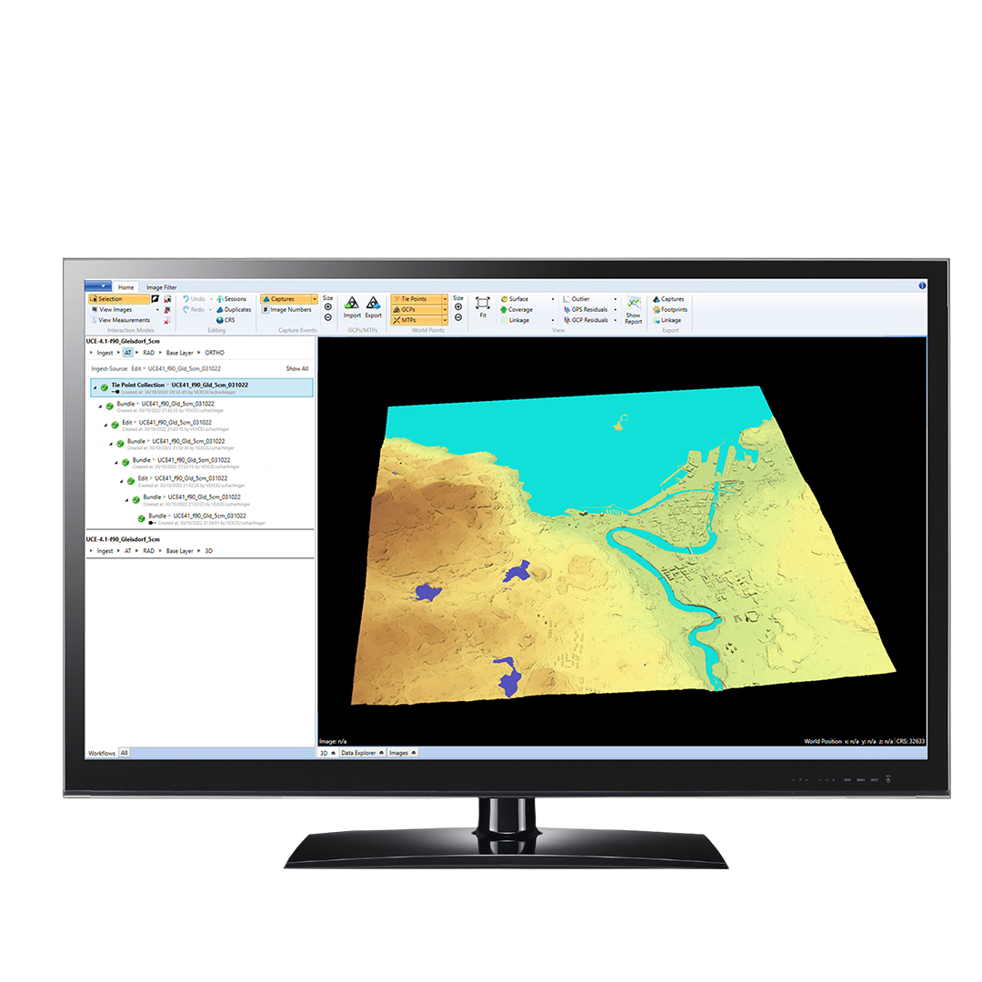
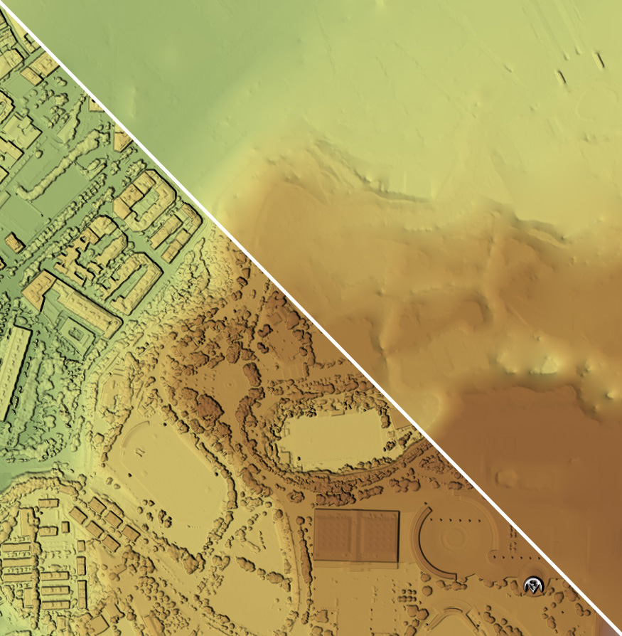
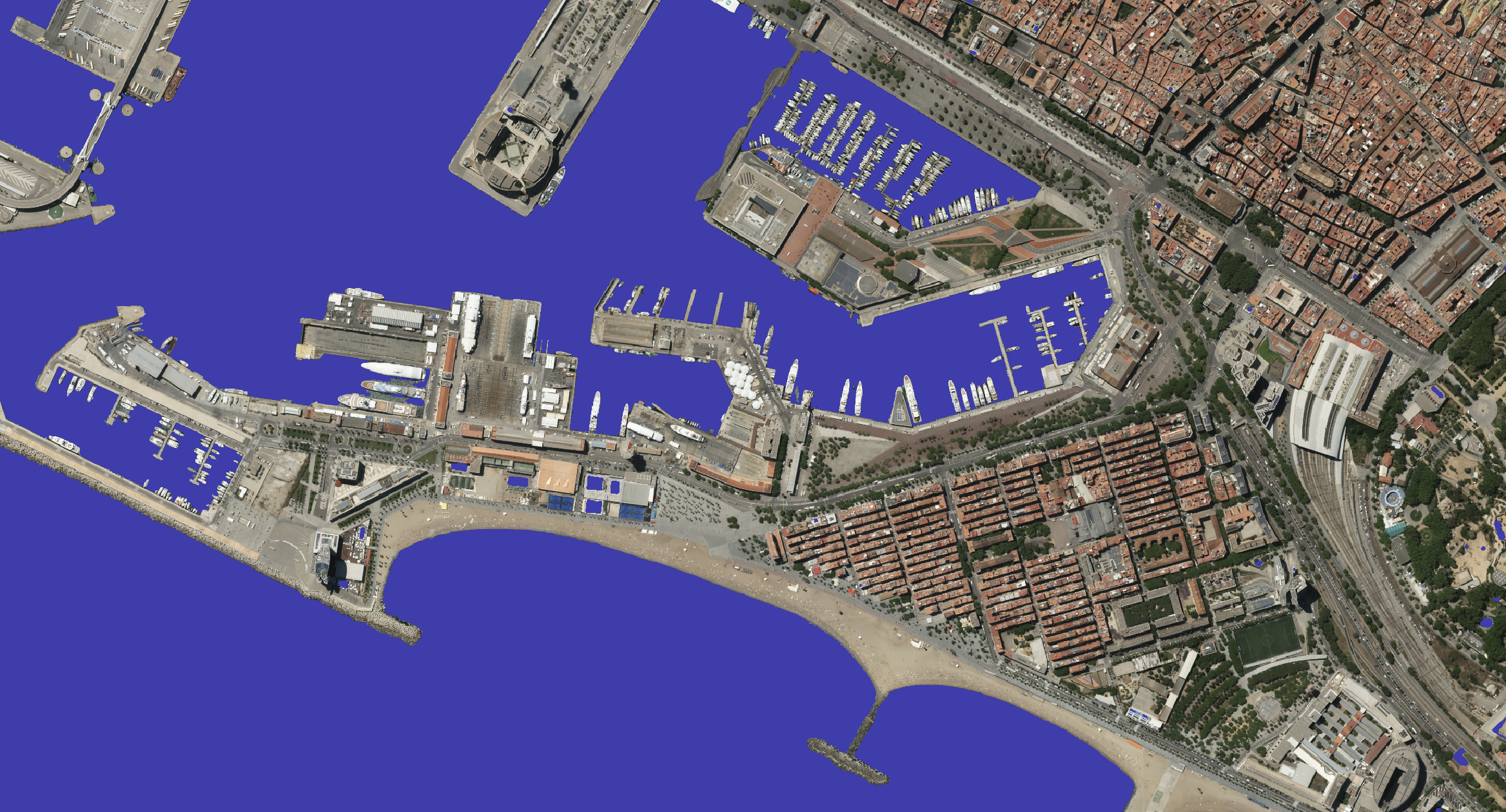
The UltraMap photogrammetric software suite turns raw UltraCam data into high-value information delivering unrivalled point clouds, DSMs, DTMs, ortho imagery and 3D textured TINs. UltraMap provides a straightforward workflow and constantly updated feature sets.

Vexcel Imaging
Graz, AT
Description
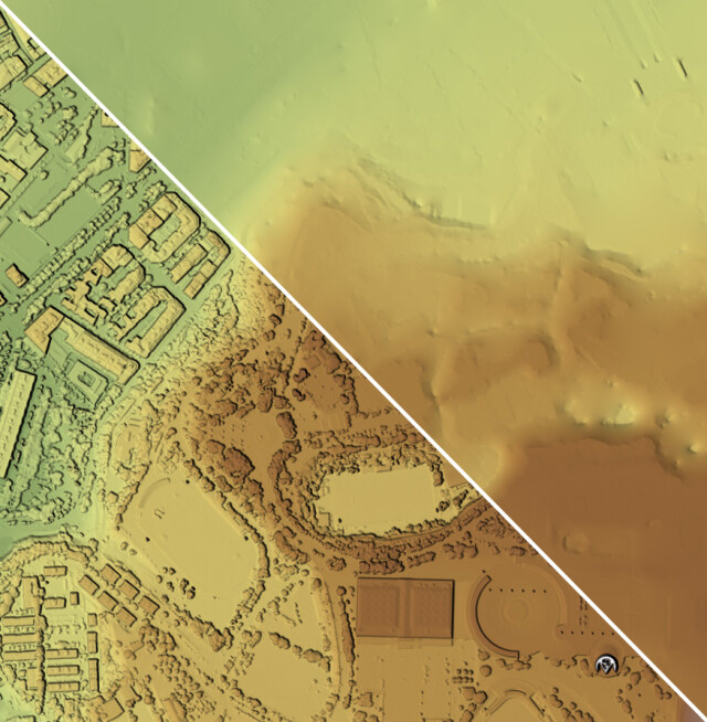
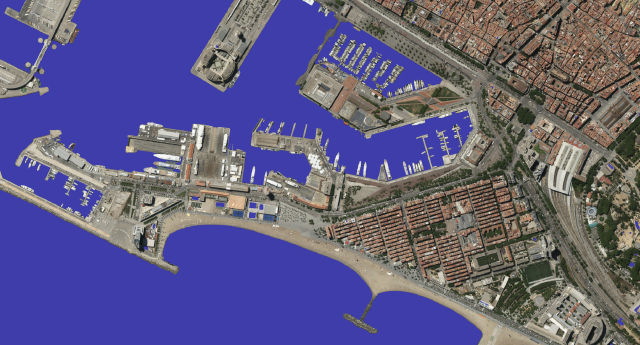
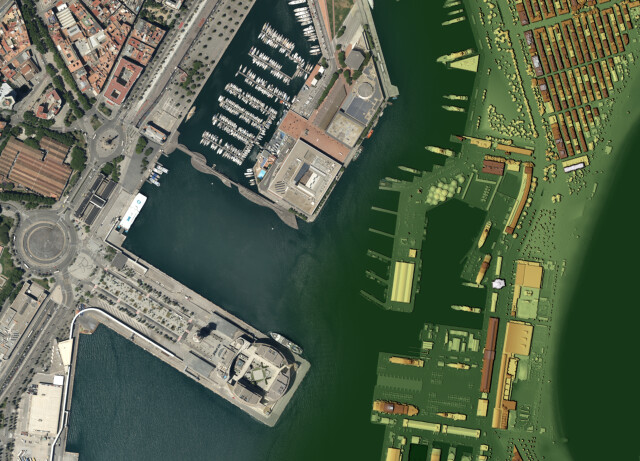
Create true photogrammetric quality products with a modular workflow from data ingest to ortho export for nadir and oblique UltraCam imagery. Optimized for large projects, UltraMap offers a high level of integration and automation throughout its software suite, leveraging rich UltraCam raw information wherever possible.
The streamlined processing in one intuitive application includes efficient data interaction and editing, powerful visualizations, straightforward quality control tools and the option of manual interaction, where needed. Successfully complete projects of any size and for any delivery schedule with flexible subscription licensing choices and highly efficient distributed processing for best performance and scalability
UltraMap is based on a holistic approach, where sophisticated machine learning algorithms and new innovative solutions are continuously extended and enhanced, ensuring your business success today and in the future.
“The UltraMap software has enabled us to process larger imagery projects and much faster than ever before. In turn, this allows us to deliver the end results to clients soon after the flight. This is possible without the need for additional manpower thanks to the UltraMap distributed processing approach which permits us to take advantage of multiple computers.”
(Yoeri Slagboom, UltraMap customer)
Do you have questions about this product?
- Questions about price, availability, and/or retailers
- Questions about technical specifications and usage
- Questions about suitability for your project or application
Specifications
-
Required Computer System
-
System includes hardware
N
Operating system(s)
Windows 11 (version 22H2 or newer), Windows 10 (version 1809 or higher), Windows Server 2016, 2019, 2022
Min. RAM memory [Mb]
4000
Min. data storage capacity [Gb]
25
Min. graphic card
NVIDIA Datacenter GPU with a compute capability of 3.5 or higher and drivers supporting CUDA toolkit 11.4
64-bit version of software available
Y
Distributed processing capacity
Y
GPU based calculations
Y
CPU (min.)
Intel or AMD
-
Images and data
-
Source data
UltraCam digital aerial camera & mapping systems
Input image formats
Raw UltraCam imagery
Export data formats
Radiometrically aligned images (PAN, RGBI, RGB, CIR), TIFF/JPEG
Scanned analogue Aerial Photos
N
Digital Aerial Nadir Frames
Y
Oblique Images
Y
Linear array sensors
N
Optical Satellite Images
N
UAS Images
N
Radar Images
N
-
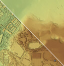
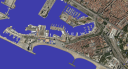
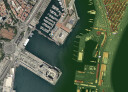
DEMs & Orthoimages
-
Automatic matching
UltraMap uses an in-house developed matching algorithm. The concept of this algorithm is similar to semi-global matching.
Automatic breakline extraction
N
Checking facilities (DEM editing)
Y
Automatic contour generation
N
Mosaicing of orthoimages
Y
True orthoimage generation
Y
Dense DSM creating capability
Y
DSM to DTM filtering
Y
Automatic seam line creation
Y
Dense Image Matching
Y
-
Viewing System
-
Min. display memory [Mb]
1000
Pref. display memory [Mb]
6000
-
General
-
Year of last update
2024
Modular
5 consecutive modules
License configuration
Purchase or subscription
-
Orientation and triangulation
-
Automatic interior
N
Relative
Y
Automatic aerotriangulation
Y
Automated blunder detection
Y
Self calibration
N
Automatic Relative
Y
images simultaneously processed
Y
-
Image manipulation & processing
-
Automatic contrast manipulations
Y
Spatial convolution
Y
Resampling
Y
Radiometric corrections
Y
Radiometric adjustment for mosaicing
Y
-
More information
-
Main applications
Ortho Photos, Point Clouds, DSM, DTM, Textured TINs, EO from AAT, Image post-processing
Distinguishable features
Highest degree of automation supported by guided manual interaction - optimized for large-scale projects - quality control tools - powerful visualization - most efficient end-to-end workflow with distributed processing
Documents
Brochure
UltraMap_en.pdf
Other documents
-
Image Motion Compensation - The Vexcel Approach808.6 KB
-
Adaptive Motion Compensation - A Modern Approach706.27 KB
-
ULTRAMAP THE ALL IN ONE PHOTOGRAMMETRIC SOLUTION550.75 KB
-
ULTRAMAP - DETAILS AND RESULTS FROM THE DIGITAL PHOTOGRAMMETRIC WORKFLOW640.45 KB
-
3 (2). New DSM Interaction - 3D DSM Editor5.68 MB
