PIX4Dfields
Aerial crop analysis for digital farming.
PIX4Dfields is the software solution for modern agriculture. Use this product to implement precision agriculture, which means short processing times that produce high accuracy results backed by years of scientific research. Get multispectral imagery, zonation maps, and make spray or treatment plans for your crops. Take advantage of drones and PIX4Dfields to take your work to the next level, all without an internet connection. Used for agriculture and crop insurance management.
Description
PIX4Dfields provides aerial crop analysis for digital farming. Turn drone images into action with state-of-the-art photogrammetry outputs designed especially for agriculture. Tackle challenges in the field by converting drone images to orthomosaics, digital surface models, vegetation index maps, zones and prescription maps to help you maximize operational efficiency.
Outputs:
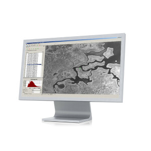
Orthomosaic
An intuitive representation of your field that helps you identify issues faster.
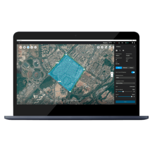
Field boundary
Import or draw your field boundaries to focus your analysis only on your areas of interest.
Vegetation index map (NDVI, NDRE...)
Understand your plant stress by exploring the different vegetation indices.
Digital surface model
Get more detail about your irrigation variability and pinpoint erosion-prone areas with an elevation model of your field.
Zonation map
Generate zones based on vegetation index maps and digital surface models.
Prescription maps
Assign application rates for use in variable rate application maps.
Annotations
Convey more valuable and actionable information by adding annotations to your maps.
Specifications
-
Required Computer System
-
System includes hardware
N
Operating system(s)
Mac OS: High Sierra / Windows: Windows 10
CPU (min.)
Intel i3 / AMD Phenom
CPU (preferred)
Intel i5 / i7 / AMD Ryzen
Min. RAM memory [Mb]
4000
Preferred RAM memory [Mb]
8000
-
Viewing System
-
Resolution
1920x1080
-
General
-
Year of introduction
2018
Year of last update
2019
![ELCOVISION-10[1].jpg](https://cdn.geo-matching.com/wRWm7Gyp.jpg?w=300&h=300&crop=1&s=d9595e4eab382ce38f888d623cb550d7)
