
PIX4Dcloud
The online platform for drone mapping, progress tracking, and site documentation
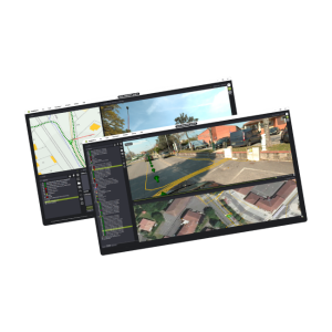
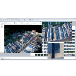
PIX4Dcloud is the online platform for drone mapping, progress tracking, and site documentation. Analyse your projects with ease, and access them anywhere in the world using this standalone software. Import datasets and analyse them without using your own processing power. Get the complete picture of a location, and follow progress using the Timeline feature. Used in industries ranging from construction to public safety, with ease of processing highlighted by multiple users.
Description
PIX4Dcloud is the online platform for drone mapping, progress tracking, and site documentation. Analyse your projects with ease, and access them anywhere in the world using this standalone software. Import datasets and analyse them without using your own processing power. Get the complete picture of a location, and follow progress using the Timeline feature. Used in industries ranging from construction to public safety, with ease of processing highlighted by multiple users.
Key industries:
- Mapping
- Surveying
- Construction
Outputs: 2D orthomosaic, DSM, 3D point cloud, 3D textured mesh
