


Correlator3D
High-End Mapping Software
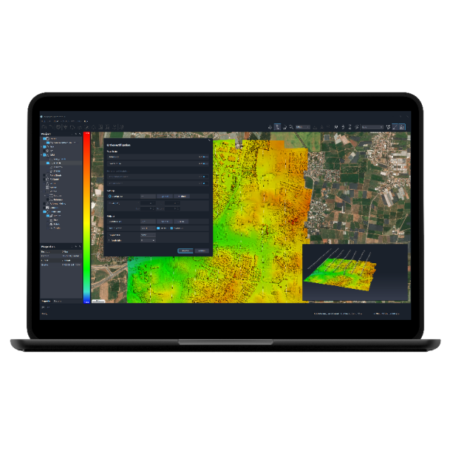
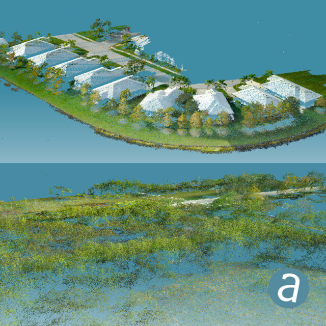
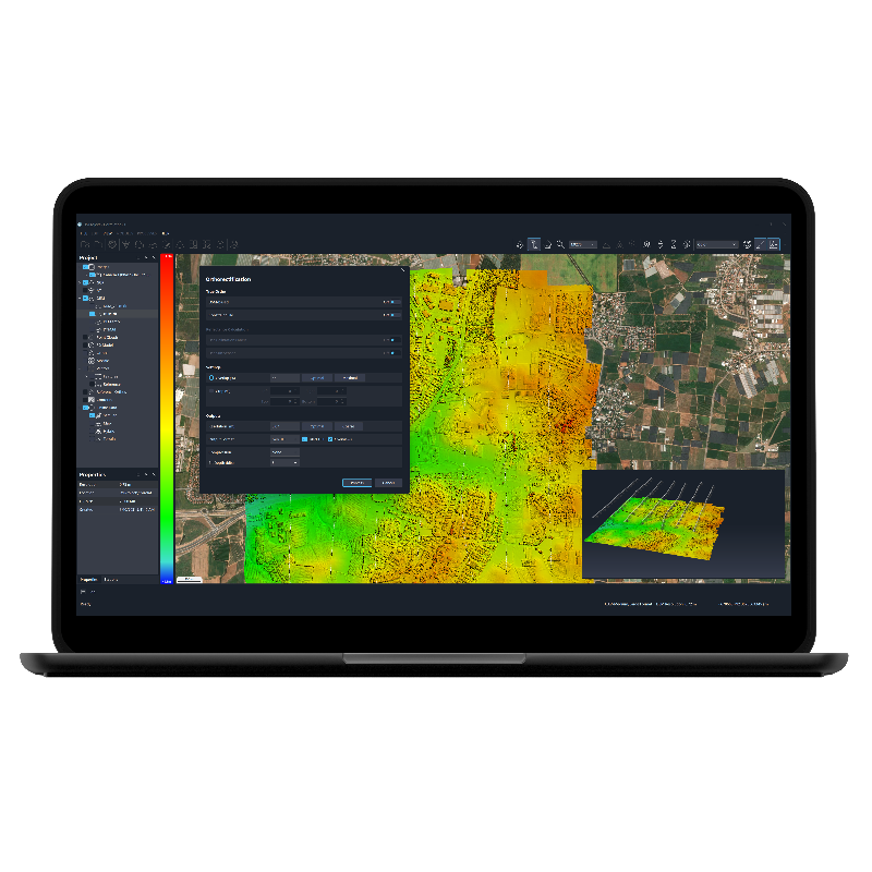
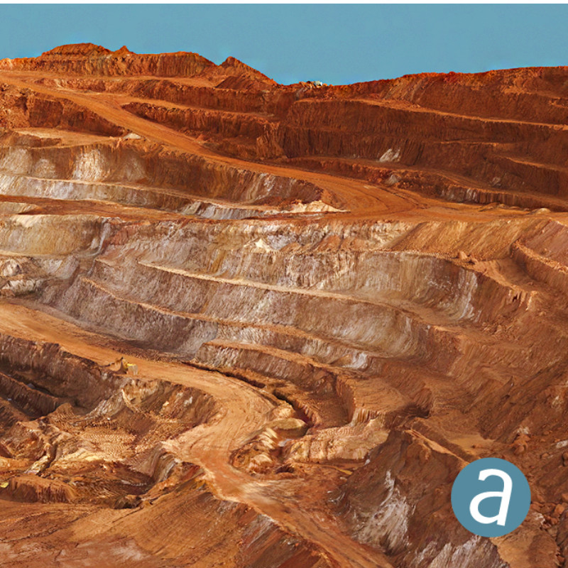
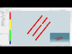
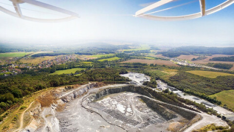
SimActive’s Correlator3D software is a patented end-to-end photogrammetry solution for the generation of high-quality geospatial data from satellite and aerial imagery, including UAVs. Correlator3D performs aerial triangulation (AT) and produces dense digital surface models (DSM), digital terrain models (DTM), orthomosaics, 3D models and vectorized 3D features.

SimActive
Montreal, CA
Description
SimActive’s Correlator3D software is a patented end-to-end photogrammetry solution for the generation of high-quality geospatial data from satellite and aerial imagery, including UAVs. Correlator3D performs aerial triangulation (AT) and produces dense digital surface models (DSM), digital terrain models (DTM), orthomosaics, 3D models and vectorized 3D features. Powered by GPU technology and multi-core CPUs, Correlator3D ensures matchless processing power to support rapid production of large datasets.
Do you have questions about this product?
- Questions about price, availability, and/or retailers
- Questions about technical specifications and usage
- Questions about suitability for your project or application
Specifications
-
Hardware/software requirements
-
RAM [GB]
8
HD [GB]
512
Use of GPU
Y
Processor
["64-bit"]
Stereo Display
Y
-
Other
-
Support
Yes: online/phone/WebEx
Typical applications
Aerial Triangulation, DSM, DTM, Orthorectification, Mosaic Creation, 3D Models Generation
Distinguishing features
Powered by GPU technology and multi-core CPUs, ensures matchless processing speed to support rapid production of large datasets
-
Files and Registering
-
Input formats
.tif, .jpg, .bmp
Output formats
.asc, geotiff, .las
Geo-referencing
Y
Automatic Target Detection
Y
Stitching multiple scans
Y
-
Pre-processing and Automatic Filtering
-
Image matching facilities
Y
Frequency domain decoding for data reduction
No
Removal of individual outliers
Y
Removal of vegetation
Y
Removal of buildings
Y
Bare ground DEM generation
Y
-
Manual Measurements
-
3D Coordinates extraction
Y
Length and Height
Y
Angle
Y
Distance
Y
Area
N
Volume
N
-
Interoperability
-
CAD software
Yes
Hydrological software
No
Assigning colour from imagery to points
N
Image overlay on TIN
N
Integration with other data types
Yes
-
General
-
Year of last update
2023
Year of initial introduction
2003
Modules
Aerial Triangulation, DSM Generation, DTM Extraction, DEM Editing, Orthorectification, Mosaic Creation, Mosaic Editing, Feature Extraction.
Source of Point Clouds
Photogrammetric
Supported Systems
Aerial (medium, large format, scanned films, pushbroom)UAV (any non-metric camera)Satellite (through RPCs)
-
Analysis
-
Line of sight
Y
Aspect and slope
Y
Individual tree heights
Y
Simulation facilities
No
Time series analysis
Y
-
Automatically Generated Products
-
Regular Grid DEMs
Y
Cross sections
N
TIN
N
Contour Lines
N
Break lines
N
Boundary detection of solids
Y
Building footprints
Y
Building roofs
Y
3D City modelling
No
-
Solid Modelling
-
Lines
N
Planes
N
Cubes
N
Spheres
N
Cylinders
N
NURBS
N
Industrial features
Yes e.g. pipes, etc.
Earth surface features
Yes e.g. trees, etc.
-
Visualisation and Editing
-
Zoom, pan and rotate
Y
Fly-throughs
Y
Adding Points
Y
Removing Points
Y
Point Reduction
Y
Documents
Brochure
correlator3d-booklet-2018-onlineversion-1.pdf
1.5 MB
Other documents
-
Correlator3D Booklet1.5 MB
-
Correlator3D Leaflet911.72 KB

