
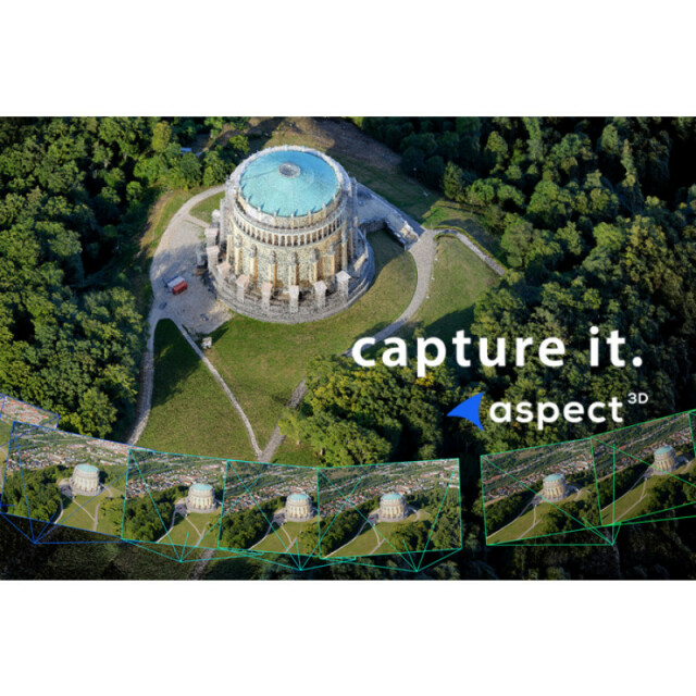
aspect 3D Photogrammetry Software
ArcTron 3D GmbH
Altenthann, DE
Description
Specifications
-
Feature Extraction and Mapping
-
Mapping facilities
N
Semi-automatic corner point extraction
N
Semi-automatic line feature extraction
N
Semi-automatic building extraction
N
3D superimposition
N
Integration with 2D vector maps
Y
Integration with 3D vector maps
Y
Integration with point clouds
Y
Automatic texturing
Y
-
Required Computer System
-
System includes hardware
N
Operating system(s)
Windows
CPU (min.)
64 Bit processor
CPU (preferred)
Intel
Min. RAM memory [Mb]
8000
Preferred RAM memory [Mb]
32000
Min. data storage capacity [Gb]
1
Preferred data storage capacity [Gb]
4000
Min. graphic card
Nvidia with CUDA support
Supported special hardware
Nvidia graphics cards. Runs on almost every common hardware and operating system.
User definable operations and extensions
More than 24 Threads
64-bit version of software available
Y
Distributed processing capacity
Y
GPU based calculations
Y
Hardware handling of big data sets
Nvidia with CUDA support
-
Images and data
-
Source data
close range, UAS, mobile mapping, full 3D. Support of Nadir and Oblique imagery.
Input image formats
JPG (8 Bit),
Export data formats
GeoTIF, LAS,, PLY, TXT, ALO, VRLM, STL, H246 Video, MPEG 2 Video
Scanned analogue Aerial Photos
N
Digital Aerial Nadir Frames
Y
Oblique Images
Y
Linear array sensors
N
Optical Satellite Images
N
UAS Images
Y
Radar Images
N
-
DEMs & Orthoimages
-
Automatic matching
Semi-Global-Matching variation (tSGM). By efficiently matching on stereo models and subsequently merging the result in the point cloud generation, low noise point clouds with quality information can be retrieved. Hierarchical approaches speed up the process and enable the support of depth large variations in the scene.
Automatic breakline extraction
N
Checking facilities (DEM editing)
N
Automatic contour generation
N
Mosaicing of orthoimages
Y
True orthoimage generation
Y
Dense DSM creating capability
Y
DSM to DTM filtering
N
Automatic seam line creation
N
Dense Image Matching
Y
-
Viewing System
-
Min. display memory [Mb]
8000
Pref. display memory [Mb]
24000
Resolution
Any
Method of stereo image separation
Stereo image matching is performed using a hierarchical variation of the Semi Global Matching (SGM) approach called tSGM.
-
General
-
Year of introduction
2011
Year of last update
2016
Modular
With aSPECT3D you create high-quality, photorealistically textured 3D point clouds from digital picture series! This SFM-software computes your photo sequences also into meshes or Digital Surface Models ( DSM ) and orthophotos. aSPECT 3D – the photogrammetry software Made in Germany is for engineers and geoprofessionals who know that precision is the key to success ! Further functions: - Camera calibration - Point cloud registration into a reference coordinate system through "Ground Control Points" ( GCPs ) - Georeferencing and coordinate transformation - Optimized "Sparse and Dense Image Matching" - Processing encoded data files automatically into vector drawings - Footprints, segmented sections, contour lines, 3D meshes with texture - Object videos and 3D animations in HD quality - Database (precisely arrange and describe 3D geometry objects) - Best practice for processing image files from UAVs and drones
License configuration
30 day trial version after free download
Regional settings available
English language
-
Orientation and triangulation
-
Automatic interior
N
Relative
N
Automatic aerotriangulation
N
Automated blunder detection
Y
Self calibration
Y
images simultaneously processed
N
-
Measurement tools
-
Length
Y
Area
Y
Volume
N
-
Image manipulation & processing
-
Automatic contrast manipulations
Y
Spatial convolution
N
Resampling
Automatic
Radiometric corrections
Y
Radiometric adjustment for mosaicing
Y
-
More information
-
Main applications
- Dense surface model generation - 3D point cloud generation - True Ortho generation - City reconstruction - Forestry – Cultural heritage, Full 3D-reconstruction
Distinguishable features
Video, HigResImages
![ELCOVISION-10[1].jpg](https://cdn.geo-matching.com/wRWm7Gyp.jpg?w=300&h=300&crop=1&s=d9595e4eab382ce38f888d623cb550d7)


