
OxTS: Understanding the LiDAR survey workflow
Mon, Nov 29, 2021 at 2:00 PM (UTC)
1 hour
A pointcloud is created when LiDAR data is georeferenced with the position and inertial measurements of an Inertial Navigation System (INS).

There are however, several steps a surveyor must go through before the final pointcloud is produced and there are many factors that can affect its quality.
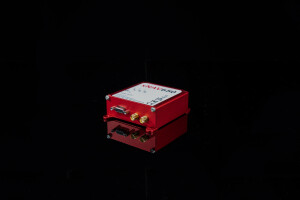
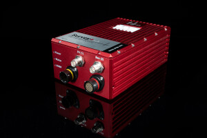
These can include the accuracy of the LiDAR and INS devices, the alignment of the coordinate frames between the INS and LiDAR, configuration of the INS and more!
During this webinar, which will take place at 14:00 hrs (GMT) on Monday, 29th November, we will talk about the LiDAR survey workflow and discuss:
- Choosing the right survey and navigation devices
- How to interface the devices correctly
- Ensuring a precise hardware set up
- Recording and processing data
We will also provide example pointcloud data we have collected with various LiDAR sensors and provide tips on creating the highest quality pointcloud possible.
The webinar is free to attend and all registrants will receive a copy of the recording after the event.
