
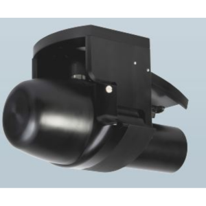
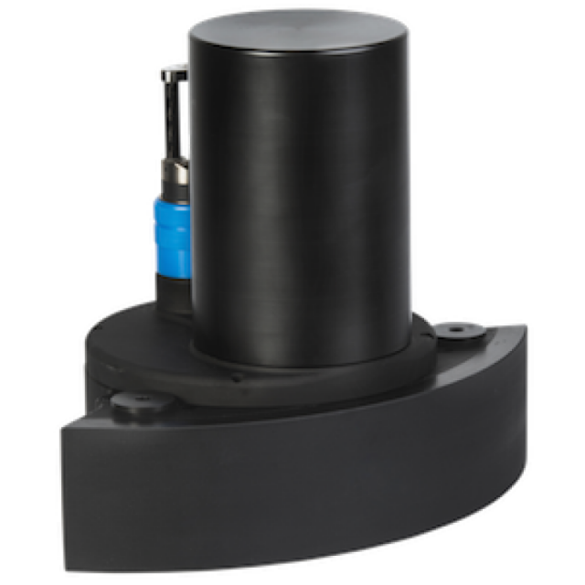
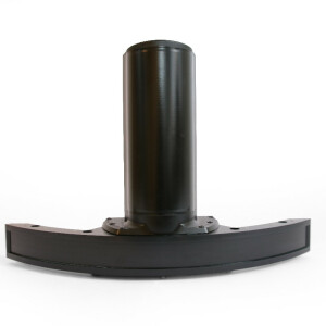
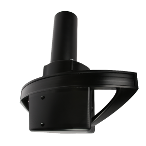
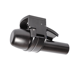
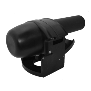
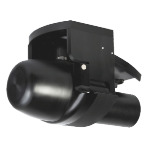
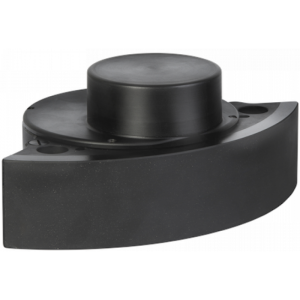
Description
The WBMS-series are ultra compact sonars designed specifically for use on all platforms. With low power consumption, the system may be operated for a full day on a single battery. NORBIT’s wideband multibeam technology allows long range real-time data collection, whilst simultaneously achieving high range resolution.
Do you have questions about this product?
- Questions about price, availability, and/or retailers
- Questions about technical specifications and usage
- Questions about suitability for your project or application
Specifications
-
Physical properties of transducer head
-
Length [m]
0.2
Width [m]
0.236
Height [m]
0.154
Min. external power [V]
10
Max. external power [V]
29
Max. power consumption [W]
28
-
Speed of sound
-
Real-time correction of refraction at transducer head
Y
Real-time integration of SV-profile
Y
Explanation of SV-profile application process
3rd Party Software (QINSy, Hypack, PDS2000, etc.)
-
Interfaces
-
Compatible software
Hypack, QPS, EIVA, MB-System, Triton, PDS2000 and others
Compatible hardware
All mounting arrangements.
Real-time access procedure
NORBIT user interface via LAN to topside unit. All processing occurs within sonar head so any computer may visualize/receive data from LAN connection.
-
Motion compensation
-
Motion sensors compatible to the system
All types
Required pitch uncertainty [deg]
0.02
Required roll uncertainty [deg]
0.02
Required heave uncertainty [m]
0.05
-
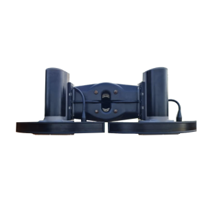
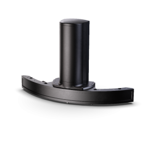
Mounting and deployment
-
Mounting
Hull mounted & Portable
Retractable
Y
-
Used Sonar Methods
-
Type of system
Multibeam
Bottom Detection Method
Amplitude/Phase/Blend
-
System Parameters
-
Min. frequency [kHz]
360
Max. frequency [kHz]
440
Min. depth [m]
0.2
Max. depth [m]
275
Depth resolution [mm]
10
Max. Slant Range [m]
275
Max. swath as a function of depth
210
Max. pings / second
512
Ping frequency [Hz]
50
Min. beam width across track [deg]
0.9
Min. beam width along track [deg]
1.9
Number of selectable frequencies
81
-
Bottom Coverage
-
Footprint in nadir direction [m]
0.785
Footprint at max. horizontal range [m]
6.3
Smallest identifiable cube [m3]
0.5
Max. swath width [m]
400
Equal footprint spacing
Y
Max. number of points per ping for side scan operation
1024
-
Uncertainty
-
RMS of nadir depth measurement [m]
0.03
Intended S44 order
Special
Max. survey speed for specified RMS [kt]
8
-
More information
-
Distinguishable features
Curved array, compact, integrated, turn-key
-
General
-
Date of first release
2011
Documents
Brochure
PS-120005-30_WBMS-bathy_Pn_12003-AACDB4_A4.pdf
Other documents
-
Glacier fronts imaging in the Arctic (2)7.87 MB
-
Deep water/Complex bottom. The Dalles Survey4.26 MB
