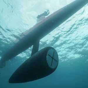
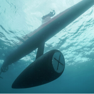
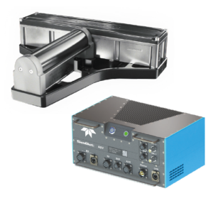
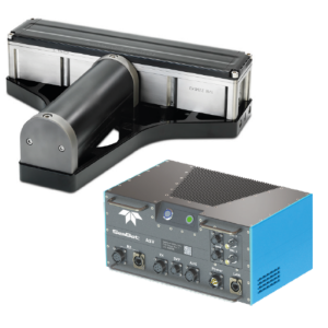
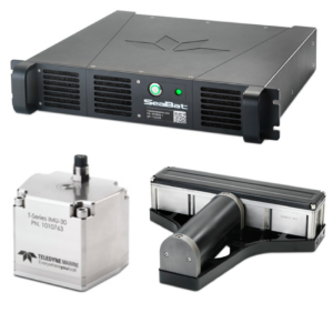
SeaBeam 3012/3020
Deep Water to Full Ocean Depth Multibeam Systems
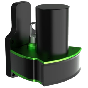
Wärtsilä ELAC Nautik
Kiel, DE
Description
High-performance multibeam systems, providing excellent real-time bathymetric data, bottom amplitudes, side scan data and beam data for water column imaging (WCI). Due to their depth performance, wide coverage and multi-ping operation, Wärtsilä ELAC SeaBeam 3012 and ELAC SeaBeam 3020 are the ideal hydrographic sensors for deep water to full ocean depth surveys.
Specifications
-
Physical properties of transducer head
-
Length [m]
0.39
Width [m]
0.28
Height [m]
0.08
-
Speed of sound
-
Real-time correction of refraction at transducer head
Y
Real-time integration of SV-profile
Y
Explanation of SV-profile application process
SSV and SVP are time stamped, merged and taken into account for ray bending processingSSV is taken into account for beamforming processingThe time stamped profile is stored as ACII-file
-
Maintenance criteria
-
Mean time before failure [hr]
6000
Mean time to repair [hr]
1
-
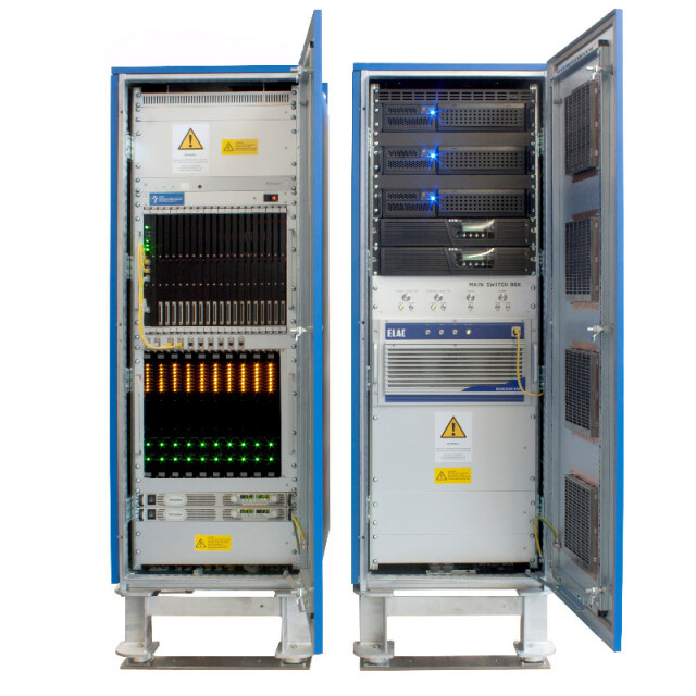
Interfaces
-
Compatible hardware
All external sensors to fulfill SP 44 special order requirements; LAN to external processing unit
Real-time access procedure
LAN based server; XSE data-format
-
Motion compensation
-
Motion sensors compatible to the system
All motion sensors with TSS1 protocol
Required pitch uncertainty [deg]
0.05
Required roll uncertainty [deg]
0.05
Required heave uncertainty [m]
0.05
-
Mounting and deployment
-
Mounting
Hull mounted
Retractable
N
-
Used Sonar Methods
-
Type of system
Multibeam
Bottom Detection Method
Amplitude and phase
-
System Parameters
-
Min. frequency [kHz]
180
Max. frequency [kHz]
180
Max. depth [m]
300
Depth resolution [mm]
10
Max. Slant Range [m]
500
Max. swath as a function of depth
9
Max. pings / second
126
Ping frequency [Hz]
21
Min. beam width across track [deg]
1.5
Min. beam width along track [deg]
1.5
-
Bottom Coverage
-
Footprint in nadir direction [m]
1.32
Footprint at max. horizontal range [m]
23.2
Smallest identifiable cube [m3]
1.3
Max. number of points per ping for side scan operation
2048
-
Uncertainty
-
RMS of nadir depth measurement [m]
0.1
Intended S44 order
Special
-
More information
-
Distinguishable features
Ice resistant version available


