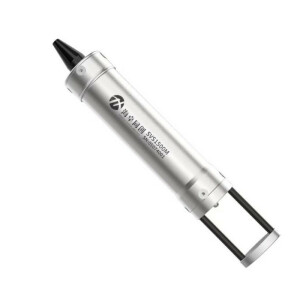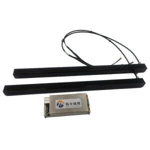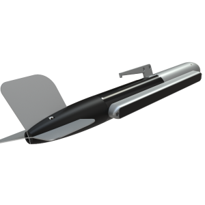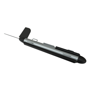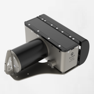
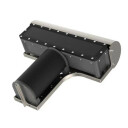
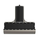
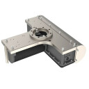
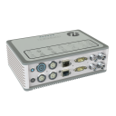
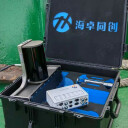
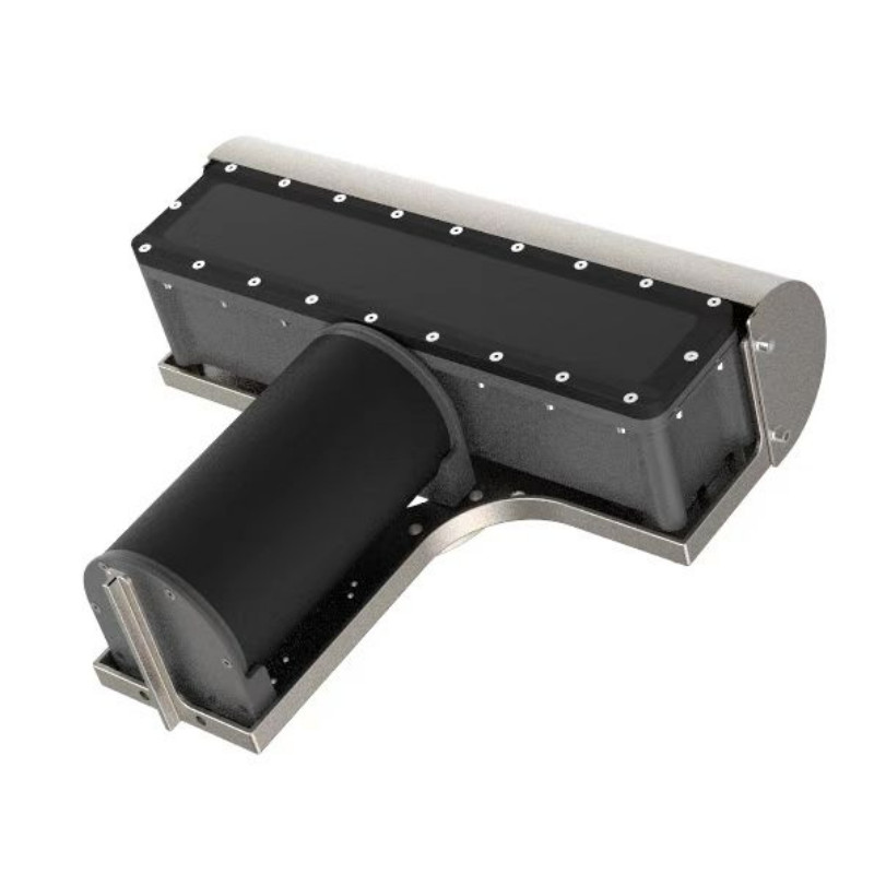
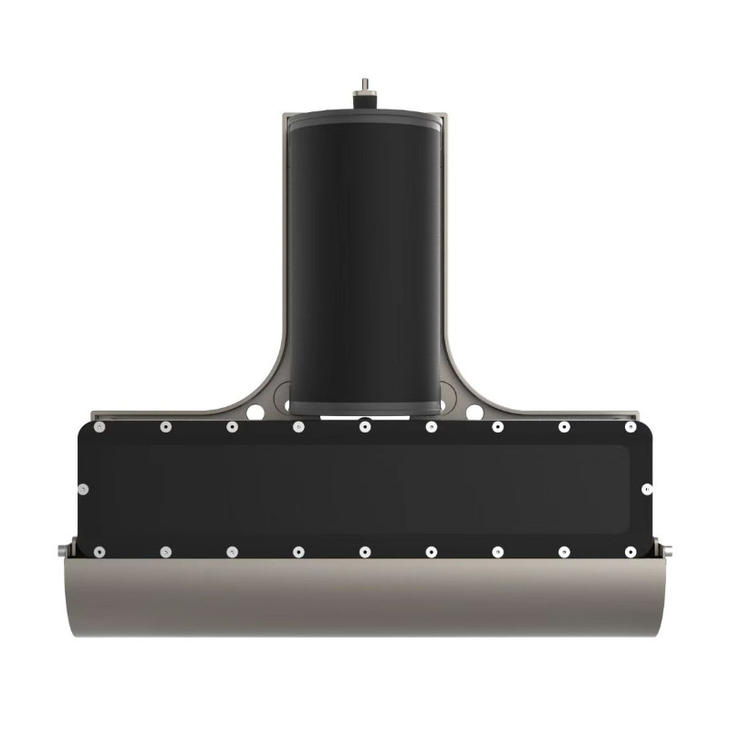
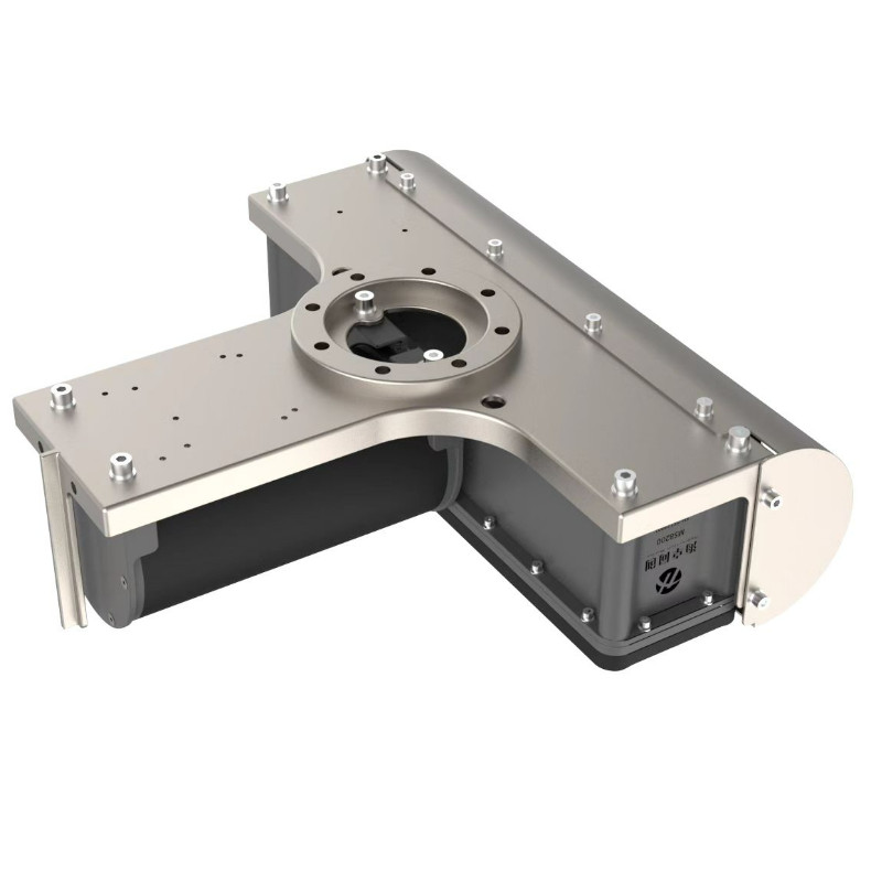
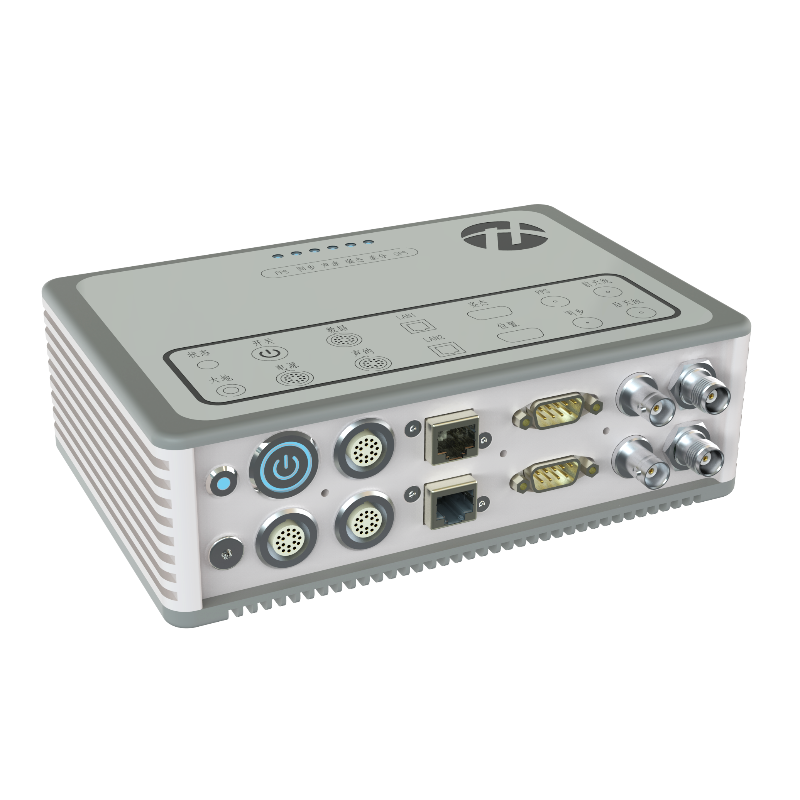
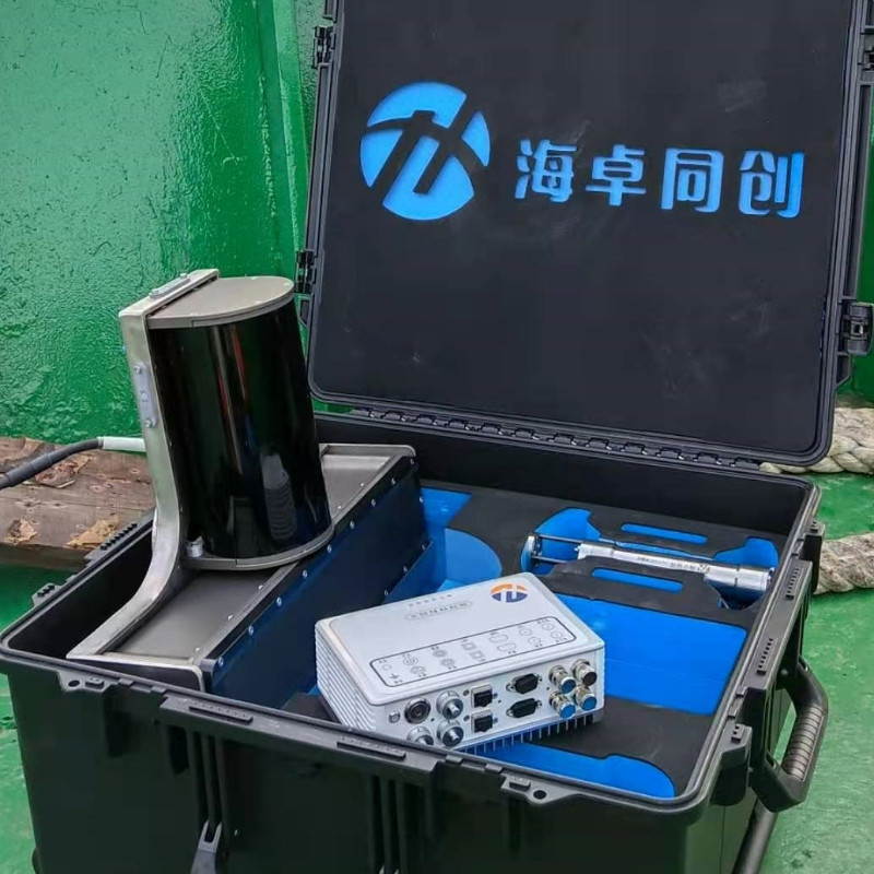
MS8200 MBES Multibeam Echosounder
Wide Swathing Coverage | Ultra-High Efficiency | Competent in Muddy Water
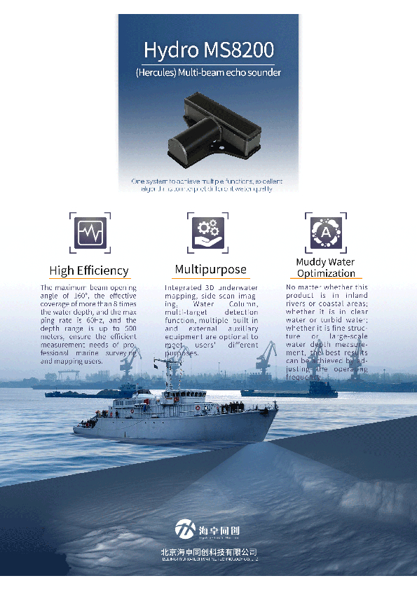
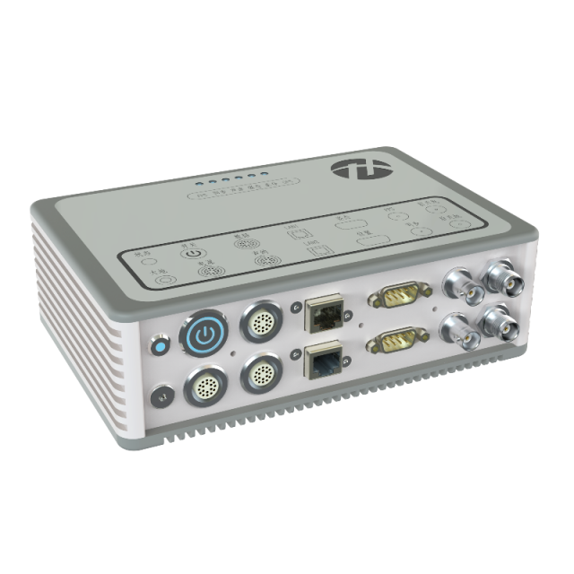
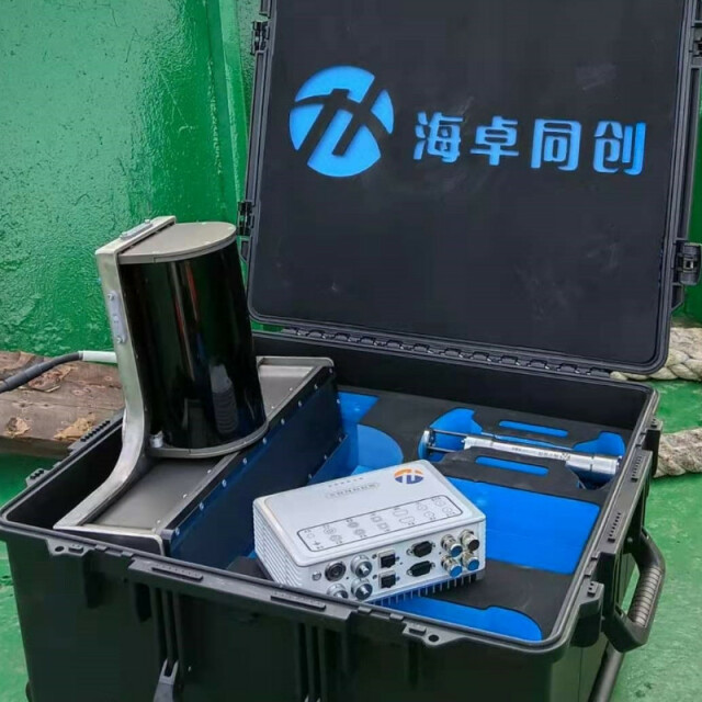
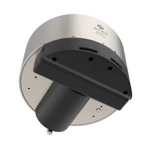
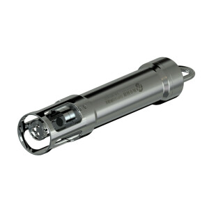
MS8200 is specially designed for professional oceangraphic mapping and deep channel surveying. It is based on the new product platform that our R & D team developed after so many year of sounding technology accumulation and studying the advantages & shortcoming of various models using under diversified environments. MS8200 is not only of reliable quality, but also with most advanced technologies. It can work well in harsh hydrology environment.

Description
Main Features
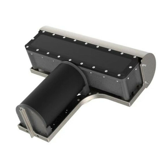
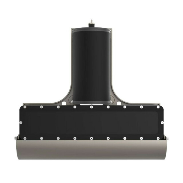
- Titanium Housing:Waterproof and Anti-Corrosion
- High Efficiency:160° Swath Coverage | Ping Rate 60Hz | Sounding Depth 400m
- One System Multi-functions:3D Underwater Terrain Survey | Water Imgaing | Scanning Imaging | Multi-Objects Detection
- Different Water Survey:River or coastline, clear or muddy water, fine structure or big range surveying, all can get the accurate result through adjusting working modes
- Supply with Hydro Navi & Quest Software, which is easy operation and user friendly
- Suit for professional survey for big range shallow water oceanographic investigation | Channel surveying and dredging | Hydrographic surveying | Wind power Maintenance | Oil & Mine Exploration
Do you have questions about this product?
- Questions about price, availability, and/or retailers
- Questions about technical specifications and usage
- Questions about suitability for your project or application
Specifications
-
Physical properties of transducer head
-
Length [m]
0.5
Width [m]
0.457
Height [m]
0.147
Min. external power [V]
10
Max. external power [V]
240
Max. power consumption [W]
100
Weight in Air
22.6kg
Weight in Water
15.5kg
-
Speed of sound
-
Real-time correction of refraction at transducer head
Y
Real-time integration of SV-profile
Y
Explanation of SV-profile application process
Through acquistion software
-
Interfaces
-
Compatible software
Many industry software support XTF data formats
Compatible hardware
Motion; Heading; SVS; SVP; GNSS
Real-time access procedure
Online Software; Gigabit Ethernet
-
Motion compensation
-
Motion sensors compatible to the system
Supports multiple industry standard sensors
-
Mounting and deployment
-
Mounting
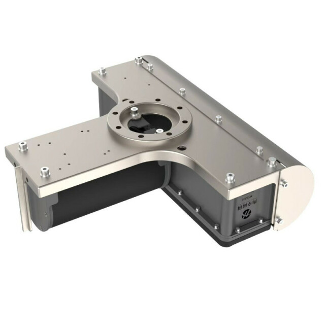
Hull mounted & Portable
Retractable
N
-
Used Sonar Methods
-
Type of system
High resolution multibeam echosounder
Bottom Detection Method
EquiAngular or EquiDistant
Sonar type
Beam-forming
-
System Parameters
-
Min. frequency [kHz]
200
Max. frequency [kHz]
200
Number of selectable frequencies
1
Min. depth [m]
0.5
Max. depth [m]
400
Depth resolution [mm]
7.5
Max. swath as a function of depth
160
Max. pings / second
512
Ping frequency [Hz]
60
Min. beam width across track [deg]
1
Min. beam width along track [deg]
2
Number of beams
512
max Swath Update Rate
160
-
Bottom Coverage
-
Equal footprint spacing
Y
Equi-angular/equi-distant mode
Backscatter
Y
Water column
Y
-
Uncertainty
-
Intended S44 order
Special
-
More information
-
Distinguishable features
Near Field Focus; Muddy Water Survey
-
General
-
Date of first release
2020
Documents
