
Description
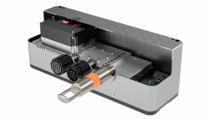
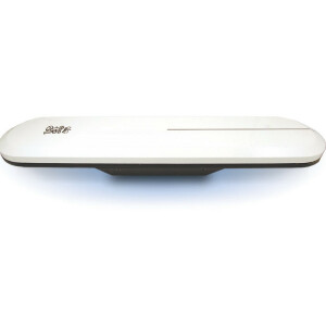
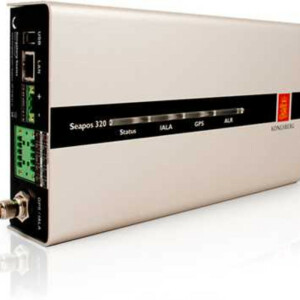
Our EM 302 multibeam echo sounder is designed to map almost all of the ocean floors excepting the deep trenches with an unsurpassed resolution and accuracy.
EM 302 has been replaced by EM 304
Do you have questions about this product?
- Questions about price, availability, and/or retailers
- Questions about technical specifications and usage
- Questions about suitability for your project or application
Specifications
-
Physical properties of transducer head
-
Length [m]
0.37
Width [m]
0.35
Height [m]
0.16
Min. external power [V]
115
Max. external power [V]
230
Max. power consumption [W]
2000
-
Speed of sound
-
Real-time correction of refraction at transducer head
Y
Real-time integration of SV-profile
Y
Explanation of SV-profile application process
Using Schnell\\\\\\\'s law refraction, in real time
-
Interfaces
-
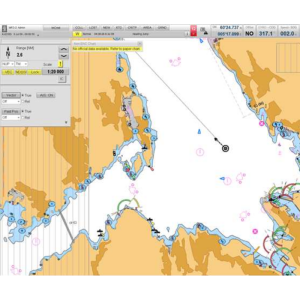
Compatible software
SIS, Hypack, QINSY, EIVA, CARIS and others
Compatible hardware
Sound velocity at transducer; Sound Velocity profile; Position; Heading; 1PPS; Single beam echo sounder (optional)
Real-time access procedure
Acquisition software; Gigabit Ethernet
-
Motion compensation
-
Motion sensors compatible to the system
Seatex MRU5; Seapath 300; Applanix POS/MV & others
Required pitch uncertainty [deg]
0.02
Required roll uncertainty [deg]
0.02
Required heave uncertainty [m]
0.05
-
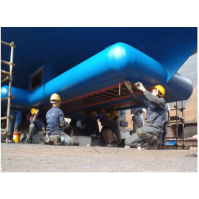
Mounting and deployment
-
Retractable
N
Mounting
-
Used Sonar Methods
-
Type of system
Multibeam echosounder
Bottom Detection Method
Amplitude and phase
-
System Parameters
-
Min. frequency [kHz]
26
Max. frequency [kHz]
34
Min. depth [m]
10
Max. depth [m]
7000
Depth resolution [mm]
10
Max. swath as a function of depth
5.5
Max. pings / second
864
Ping frequency [Hz]
10
Min. beam width across track [deg]
0.5
Min. beam width along track [deg]
1
Number of selectable frequencies
1
-
Bottom Coverage
-
Footprint in nadir direction [m]
0.4
Footprint at max. horizontal range [m]
1.3
Max. swath width [m]
8000
Equal footprint spacing
Y
Max. number of points per ping for side scan operation
100000
-
Uncertainty
-
Intended S44 order
1
Max. survey speed for specified RMS [kt]
20
-
More information
-
Distinguishable features
Yaw, pitch & roll stabilization. Mammal protection
-
General
-
Date of first release
2005

