Video
0
views
Join 40,000+ geospatial professionals and get technology news delivered straight to your inbox every week. Subscribe today.
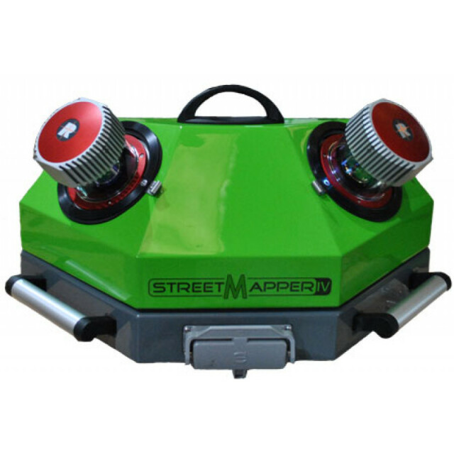
StreetMapper first was released in 2004, the first Mobile Laser Scanning LiDAR system commercially available. Proven time and time again, the system is widely accepted in the survey business as one of the most reliable, accurate and robust MLS systems available. Following years of expertise and constant development, 3D Laser Mapping is proud to announce their next generation Mobile Mapping LiDAR System, ‘StreetMapperIV’. Survey grade accuracy and supreme reliability that has come to be expected from StreetMapper is now presented in an even more compact, customisable and easy to use system. Available in 3 options; survey grade (single or dual scanner) and GIS/Mapping grade. Each option is mountable on any moving platform and comes with the best technical support in the business.
Year of initial introduction
2005
Year of last update
2015
Application
Outdoor
GNSS receiver: Brand and model
NOVATEL/Septentrio
Number of antennas
1
Update rate of GNSS receiver
2
IMU: Brand and model
IGI - FOG III
IMU update rate [kHz]
600
Wheel sensor: Brand and model
Optical odometer
Number of wheel sensors
1
Tracked GNSS signals
GLONASS, GPS, Galileo, BeiDou
Ground control point integration supported
Y
Brand
RIEGL VUX-1HA
Number of laser scanners
2
Wavelength [nm]
1064
Laser safety classification
Class 1
Min. Range [m]
1.2
Max Range [m]
420
Beam diameter at exit [mm]
4.5
Beam divergence [mrad]
0.5
Spot at 50m distance [mm]
25
Intensity recording [bit]
16
Max. vertical field of view [deg]
360
Max. measurement rate [kHz]
2000
Scans per second
500
Export formats
LAS, interface to 3rd party software
Range precision (1 σ)
0.003
Absolute accuracy (1 σ):
0.005
Measurements per laser pulse
2000
Max. speed [km/hr]
300
Built-in Stabilisation
N
Operating time [hr]
24
Main applications
Highway maintenance, Change DetectionCity modellingAsset mappingFlood modellingLand slide monitoring Power line surveyClearance mapping
Distinguishing features
Precise navigation systemWorld-class Laser scanning technologyInnovative system designAdvanced data processing softwareSupplied and supported by mobile mapping expertsEasily transportableSystem fitted inside a Portable protective fiberglass POD.Single cable connection to control unit.
Training provided
Y
Brand and model
Ladybug 5
Number of cameras
6
Spectral Bands [PAN, RGB, NIR, CIR]
RGB
CCD size [.. x .. pixels]
2048 x 2448
Pixel size [micron]
3.45
FoV per camera [deg]
360
Maximum frames/sec. per camera
16
Export formats
PGR, JPEG
Size with case
53 x 33 x 42cm
Weight [kg]
13
Min. Operation temp. [°C]
0
Max. Operation temp. [°C]
40
Max. humidity [%]
80
Photogrammetry Software
Yes, TerraPhoto
Laser Point Clouds Software
MMProcess
Project Management Software
MMProcess
Other Software
TERRAOffice, GrafNav, TerraSolid
Recommended software (If no software included)
TERRAOffice, GrafNav, Terrasolid, Orbit
Computer
TOUCH SCREEN
Processor
Intel(R), Core(TM) i7-4770TE CPU @ 2.30GHZ
Size hard disk [GB]
1000
WiFi
Y
I/O port(s)
LAN, USB 3.0
We are happy to assist.


By completing this form, you acknowledge and agree to abide by our Terms and Conditions, Privacy Policy and Cookie Policy.