
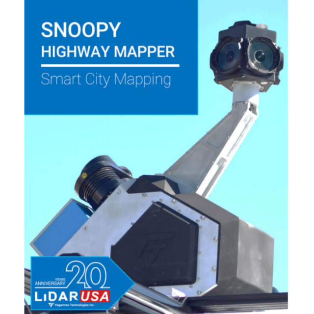
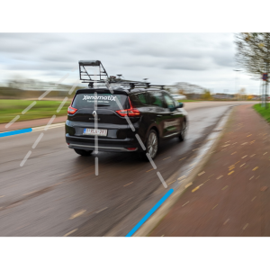
Snoopy: Highway Mapper Z+F
Smart City Mapping
The Highway Mapper Z+F is a vehicle independent solution. Multiple applications allows you to maximize your revenue.
LiDARUSA
Hartselle, US
Description
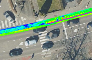
We utilize the latest machine learning to develop this state-of-the-art mobile sensor platform that captures point cloud and imaging data and can be upgraded to utilize additional sensors such as ground penetrating radar (GPR), pavement cameras, and thermal. This is a one pass data collection that increases your ROI. It exports directly to topoDOT, AEC, Bentley, Microstation, and Trimble Business Center formats. Regarding control point registration, we have developed one of the best control point registration modules (which is includedwith the software) on the market. Our registration and corrections are a pre-point cloud solution. We address the control points prior to generating a massive point cloud and then correcting it.
Specifications
-
General
-
Year of initial introduction
2017
Year of last update
2019
Application
Outdoor
-
Positioning
-
Number of antennas
1
-
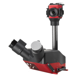
Lidar Sensor
-
Range precision (1 σ)
0.1
Brand
Z + F Profiler
Number of laser scanners
1
Wavelength [nm]
635
Max Range [m]
119
-
Camera System
-
Number of cameras
6
Pixel size [micron]
3.45
-
Dimensions & Environment
-
Size with case
65x85x88
Weight [kg]
31
Min. Operation temp. [°C]
0
Max. Operation temp. [°C]
40


