Mosaic X: Mobile Mapper for Large-Scale Photogrammetry w/o LiDAR
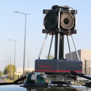
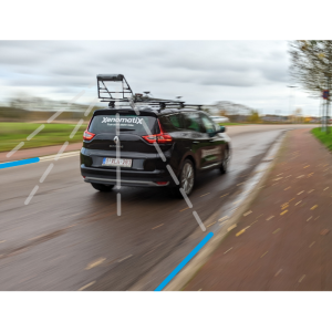
Map large areas at highway speeds in extreme resolution for 3D models & reconstructions
Create 3D reconstructions without LiDAR with the highest resolution, all-in-one solution, 360º mobile mapper camera with global shutter.
Mosaic 360 Camera Systems
Czechia
Description
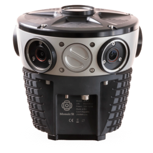
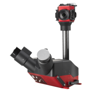
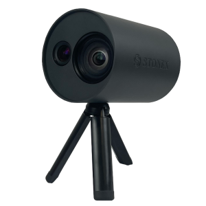
Mosaic X
The only mobile mapper in the world capable of 3D modeling and reconstructions at scale without the need for LiDAR. Large-scale photogrammetry with a robust 360-degree camera.
Built tough
industrial-grade housing
IP67, fully sealed and water-resistant housing
passively cooled
protected, easily replaceable lens covers
light-weight, take it anywhere
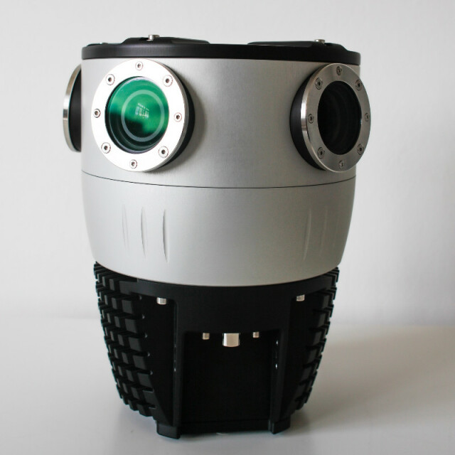
The highest definition
6 x 12.32MP sensors, 91.2 MP equirectangular
360-degree view
perfect overlap for optimized overlap and resolution
Future-proof
built-in CPU and GPU allows for AI integration, real-time image processing
no vendor lock-in
Industries
Smart Cities
Local / Central / National governments
Utility companies
Telecommunications companies
Transportation and logistics companies
Real estate companies & developers
Financial and insurance companies
Engineering and architecture firms
Automotive industry
Railways
Infrastructure surveying
Public safety
Media & entertainment
Use Cases
Street view data collection
GIS updating
Road infrastructure maintenance and repair
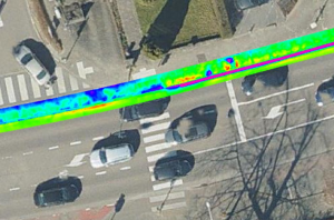
3D scanning, modeling and reconstructions
Street signs, lights, and other street furniture maintenance and repair
HD mapping
Train rail inspection
Infrastructure inspection and maintenance
BIM/CAD modeling
Real estate asset management
Property valuation
Cadastral surveying
Agricultural inspection
More information
check out the Mosaic X features: https://www.mosaic51.com/cameras/mosaic-x/
capturing high-resolution images of infrastructure and roadside assets faster and cheaper with the Mosaic X: https://www.mosaic51.com/industry/mosaic-x-capturing-high-resolution-images-of-infrastructure-roadside-assets-and-utility-faster-and-cheaper/
our customer stories: https://www.mosaic51.com/case-studies/
follow us on LinkedIn: https://www.linkedin.com/company/mosaic-360-geospatial-imaging-leaders
check out cool videos: https://www.youtube.com/channel/UCrh7tggJinvjRWU2N-ee_vw
other products: Mosaic 51 and Mosaic Viking
contact us: [email protected] or [email protected]
Specifications
-
General
-
Year of initial introduction
2021
Year of last update
2022
Application
Outdoor
-
Positioning
-
Number of antennas
2
-
Operation
-
Max. speed [km/hr]
130
Operating time [hr]
10
Distinguishing features
Supports multiple GNSS sensors at once
-
Camera System
-
Number of cameras
6
FoV per camera [deg]
360
Pixel size [micron]
2.74
-
Dimensions & Environment
-
Weight [kg]
4.5
Min. Operation temp. [°C]
-20
Max. Operation temp. [°C]
50
Max. humidity [%]
100
Related products


